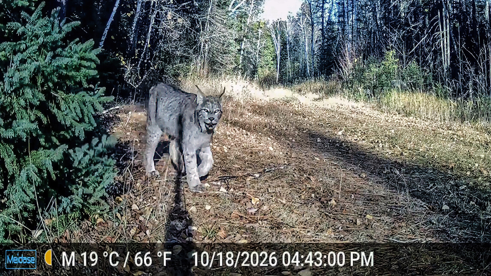
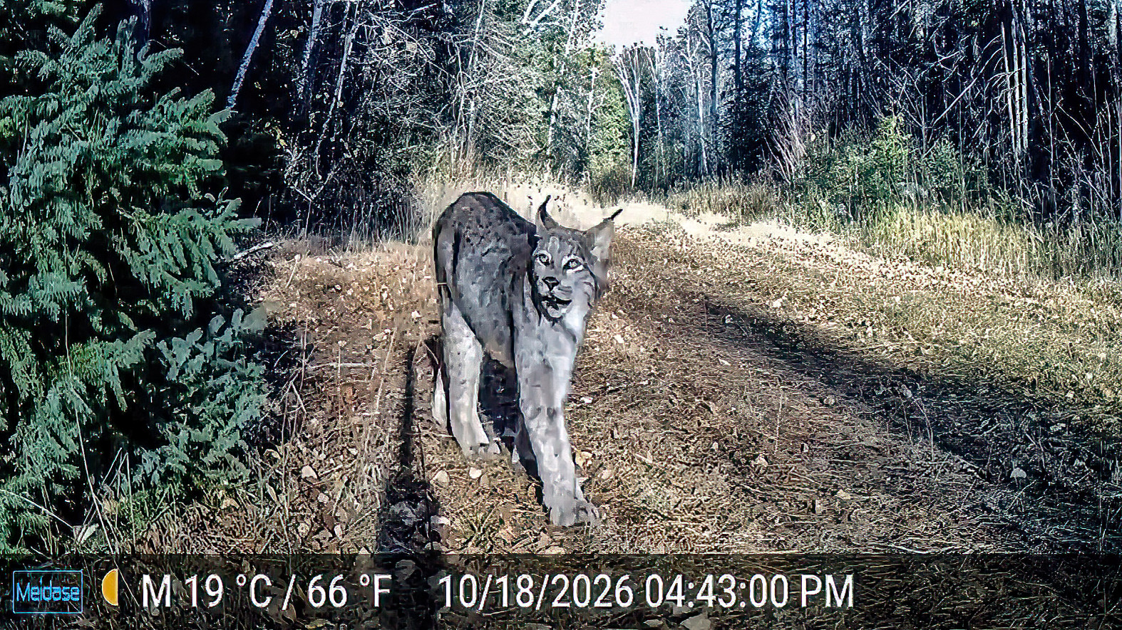
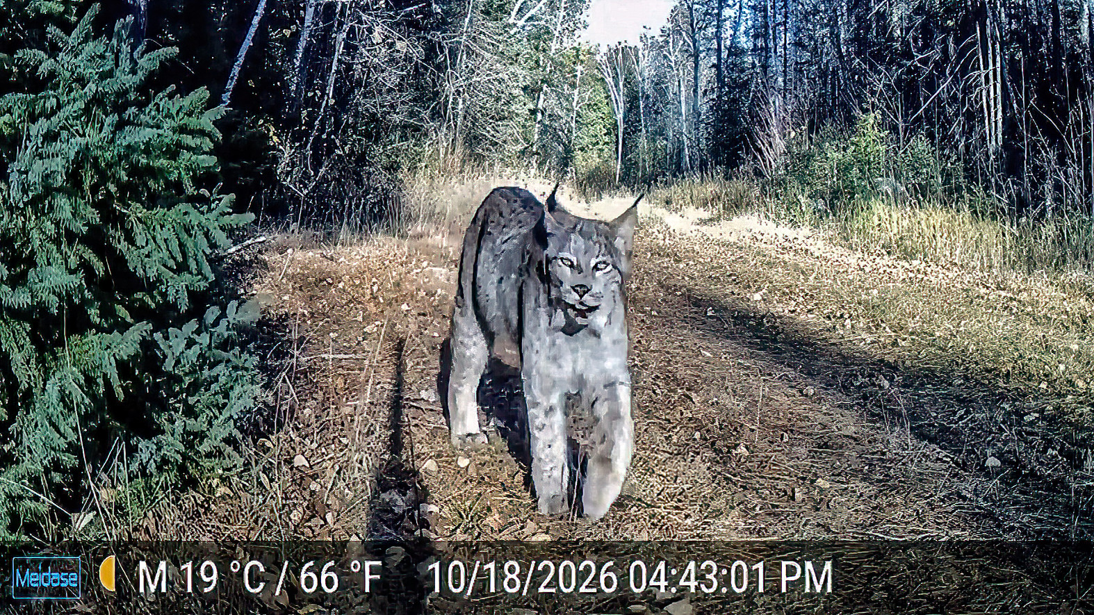
This is my 4th trip in October to visit my small Northwoods cabin. On the 3rd trip up here last weekend I turned the water system off and pulled the intake out of the lake. Thus, on this visit I have no running water and the outhouse are “my facilities”. Thankfully this outhouse is special and was blessed a few years back by princesses and has the protection of Ninjas!
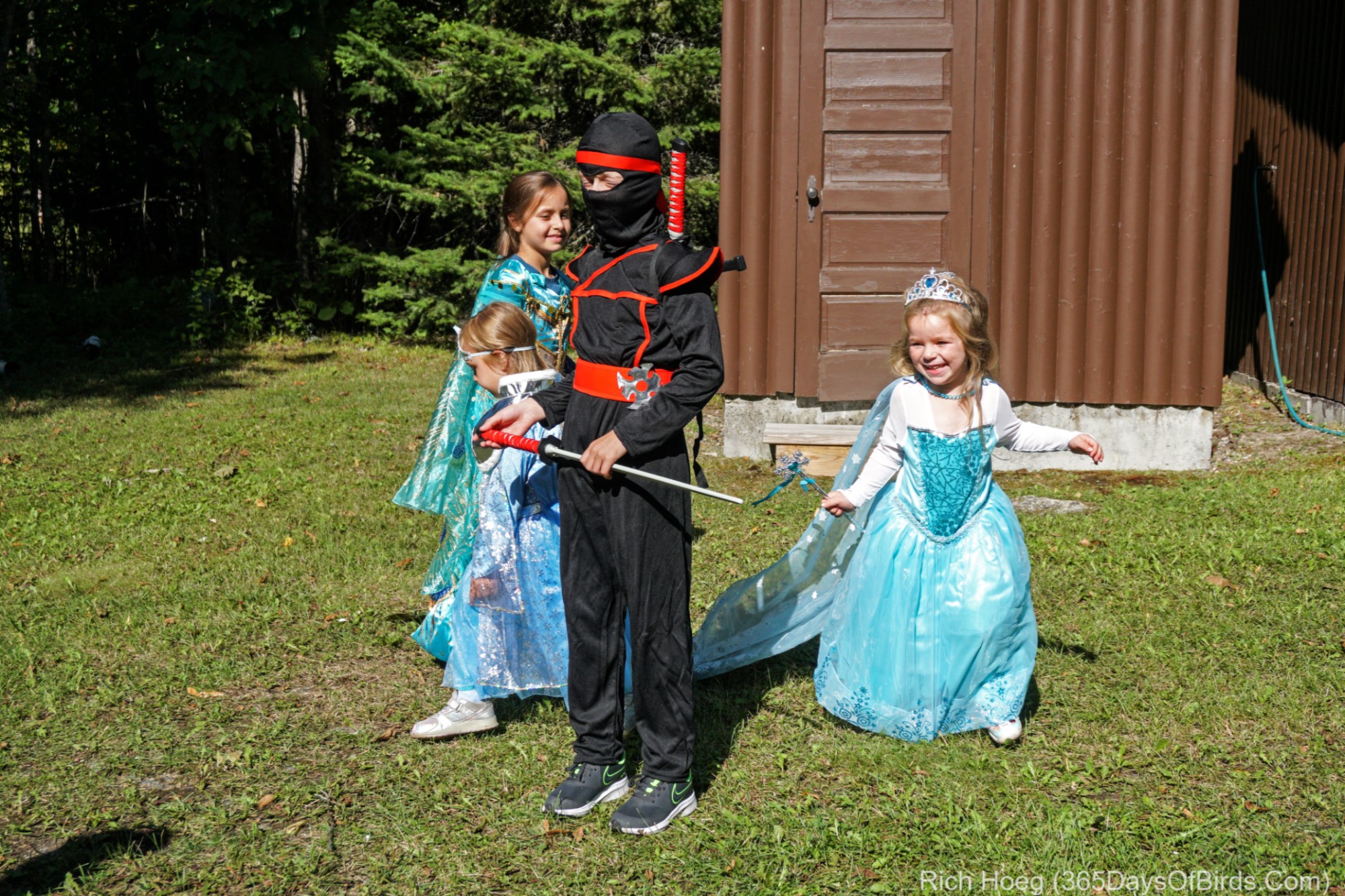
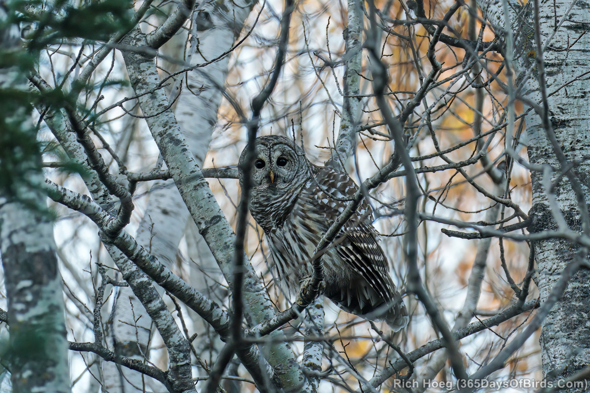
I will admit these four of my eight grandchildren are now a bit older, but I feel their efforts/blessings are still in force (outhouse in background)! After all, a cabin which now has a resident pair of Barred Owls must be special. Ned and Nancy (the owls) always visit multiple times each night, and last night was no different. The Barred Owls set up shop in my Basswood Trees less than ten yards from my bedroom window. Given how vocal Barred Owls can be, it is hard to miss their visits!
Thankfully my cabin owls provided me a few photo opportunities during the late afternoon.
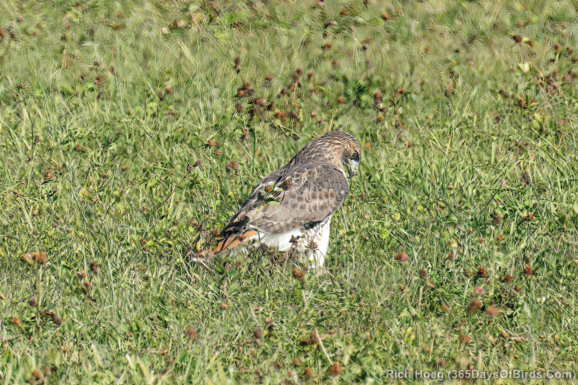
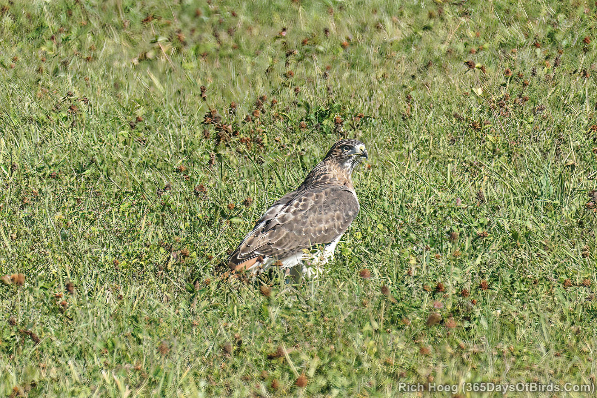
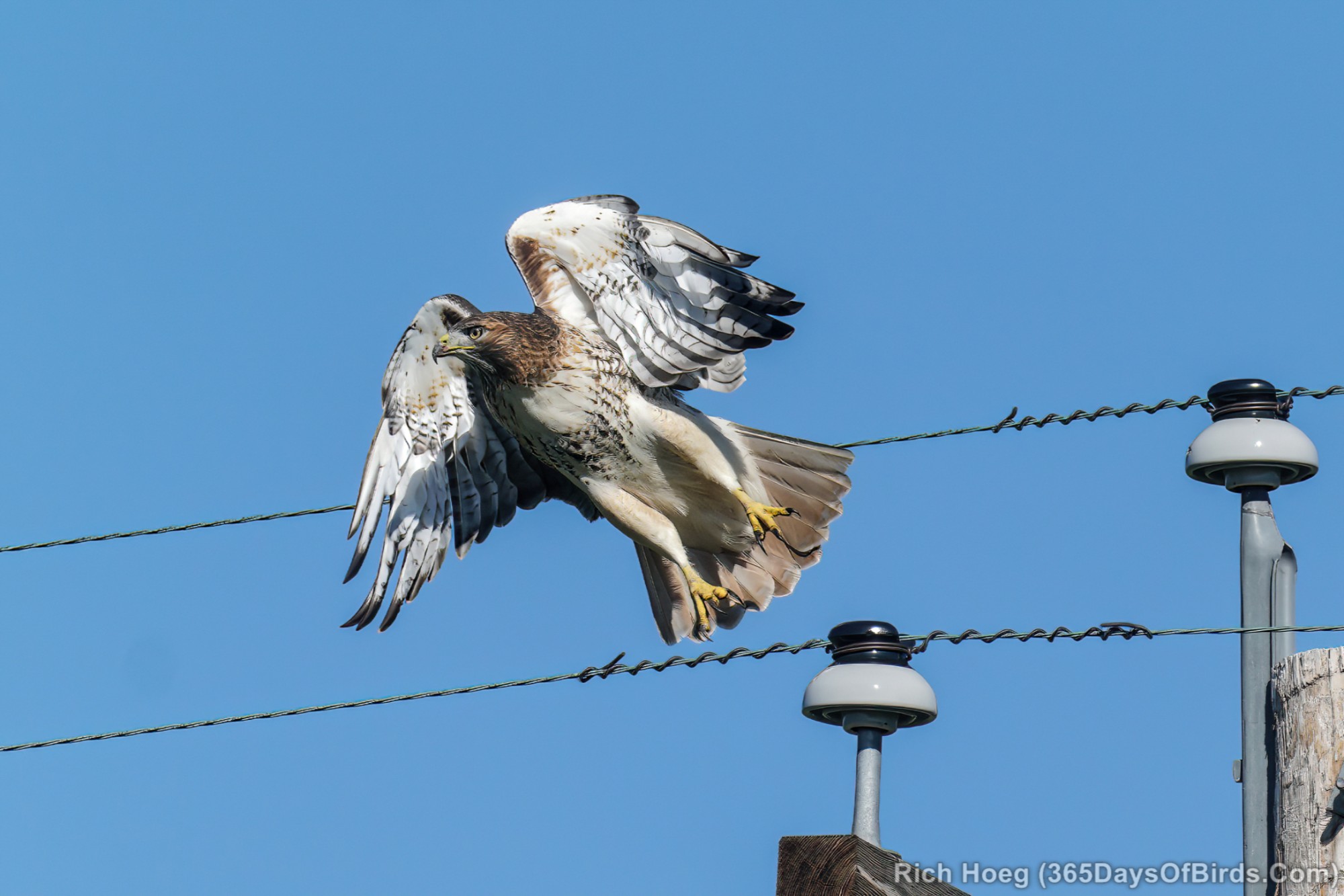
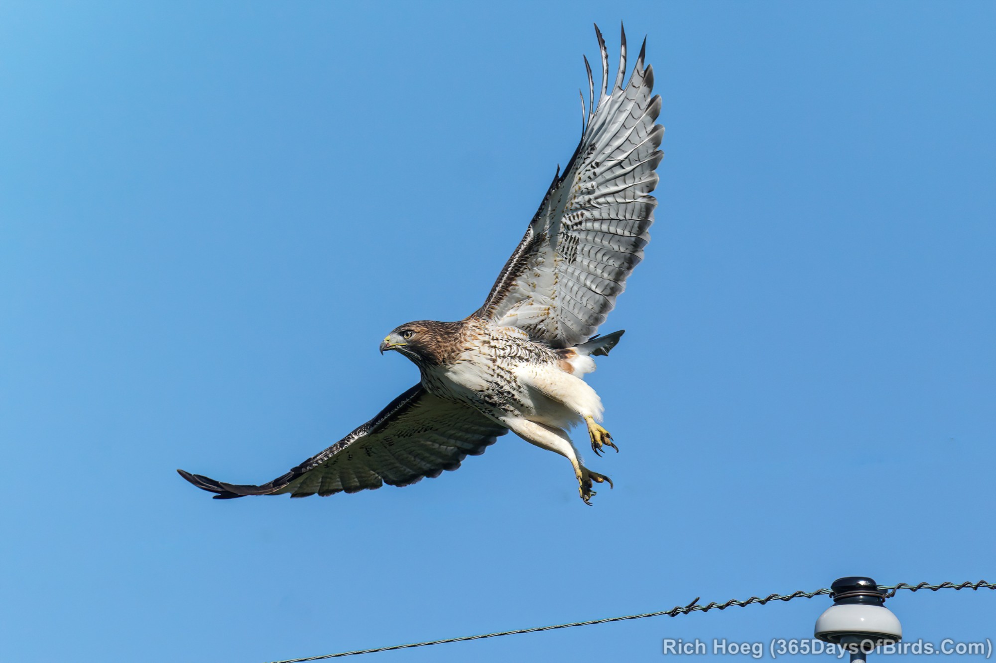
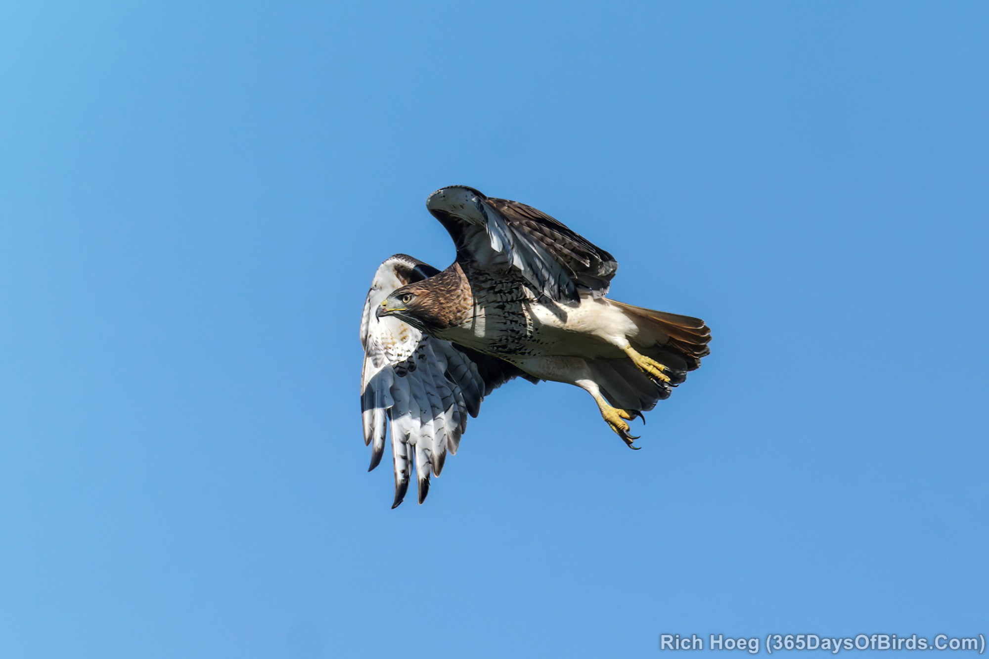
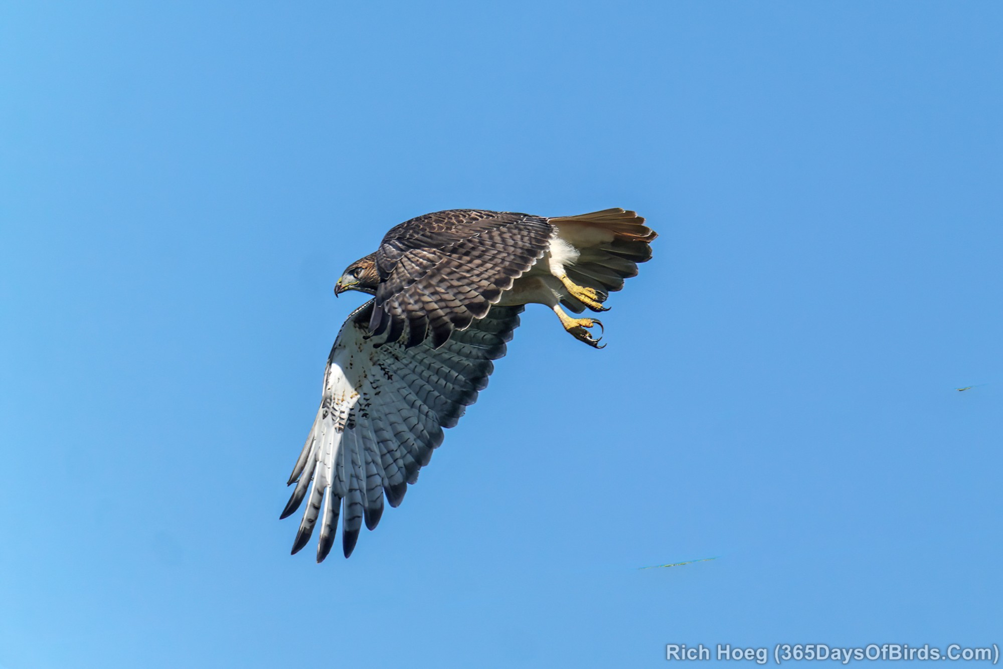
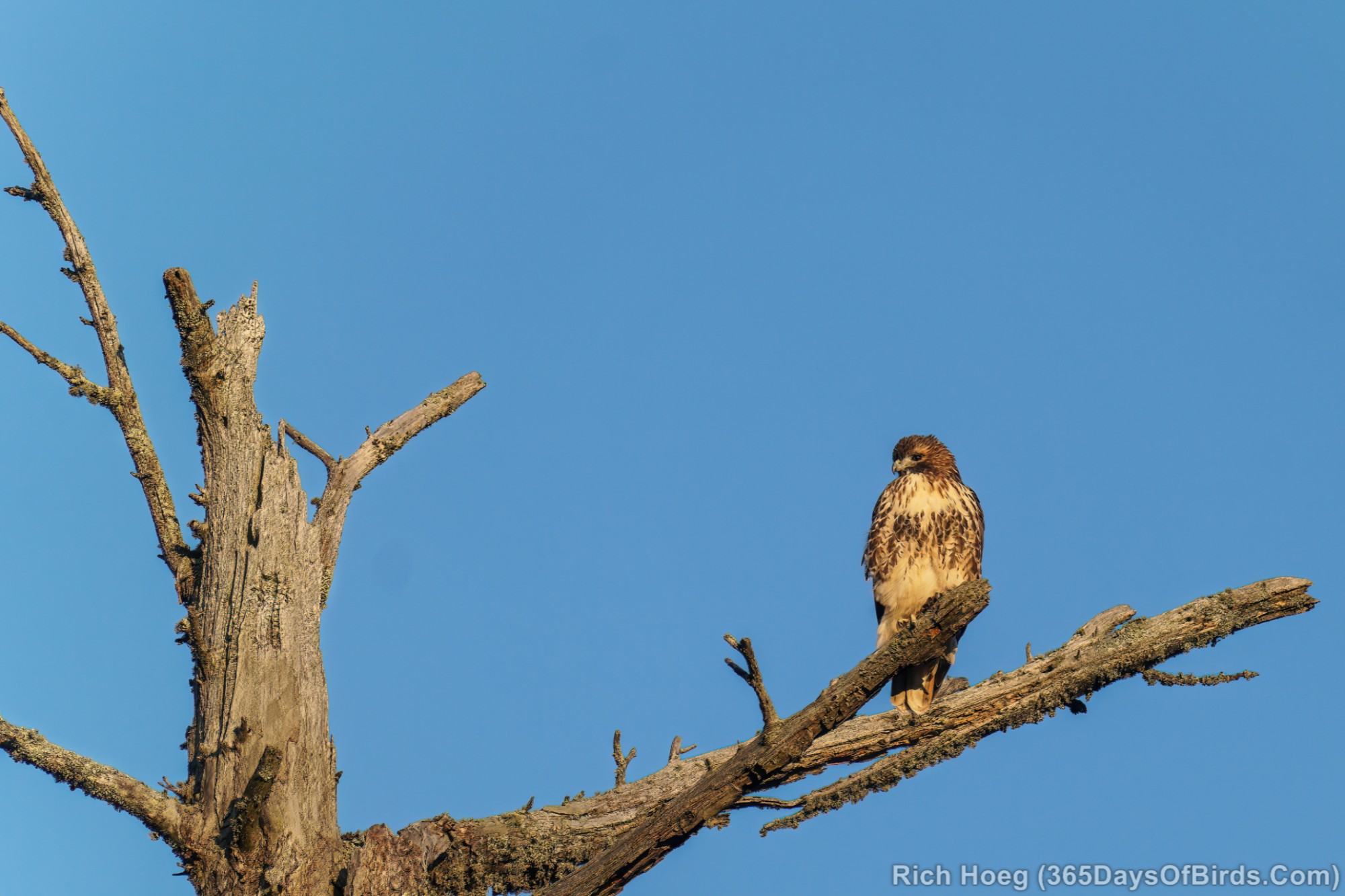
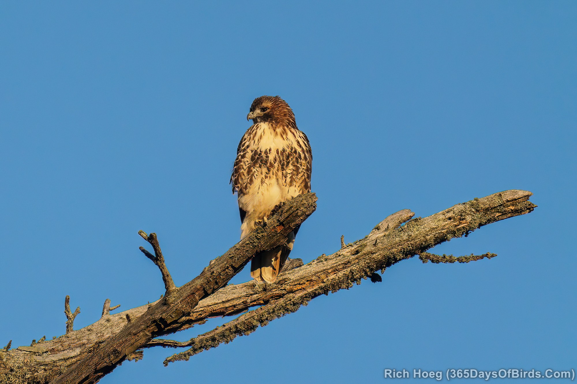
On my drive over to the cabin I also spied a Red-Tailed Hawk hunting the Wawina Bog along US Hwy 2. I have seen Red-Tails many times in the last seven days. Their migration is definitely in progress. November 1st is normally when I start seeing more big hawks and owls; thus I am enjoying this sneak preview!