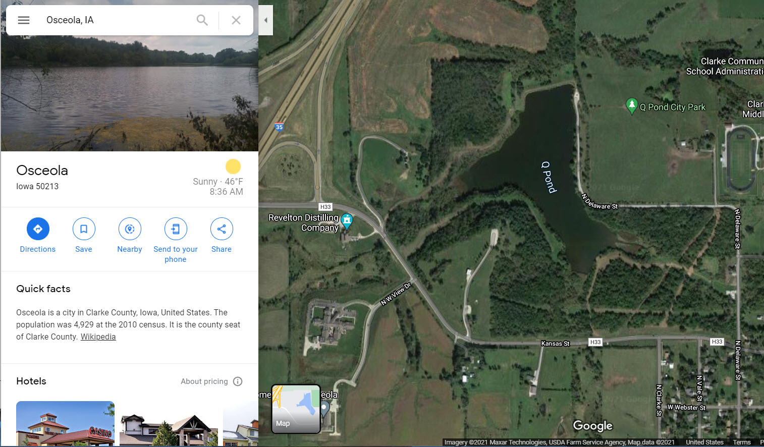
Molly and I have reached the Ozark Mountains. While I hate the concrete deserts of our highway system, with a little research after a long day in the car, birding is quite possible. We were spending our night in transit in Osceola, Iowa which is a location where I have never been. Upon checking in at the motel I quickly got on the internet and pulled up Google Maps. A review yielded a nearby town park with a pond. Zooming in using satellite view showed me hoped for wetlands. Here are screenshots from my research.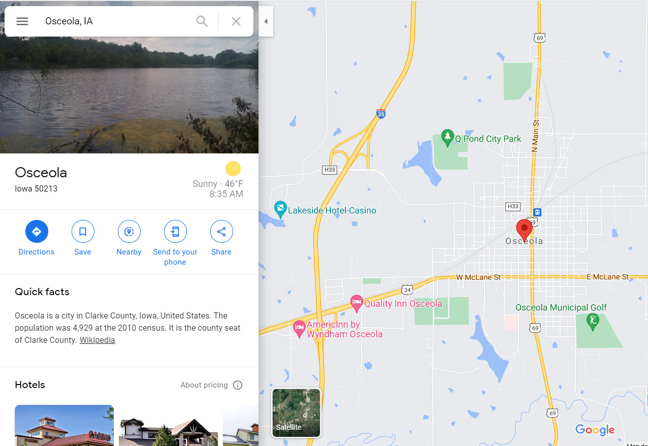
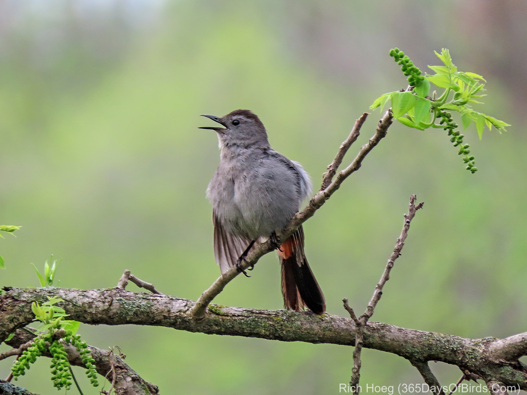
The pond was fantastic with a huge number of migrating Catbirds and Spotted Sandpipers. While these birds are not able to use Google Maps, they know the locations of the water and food sources on their migration routes.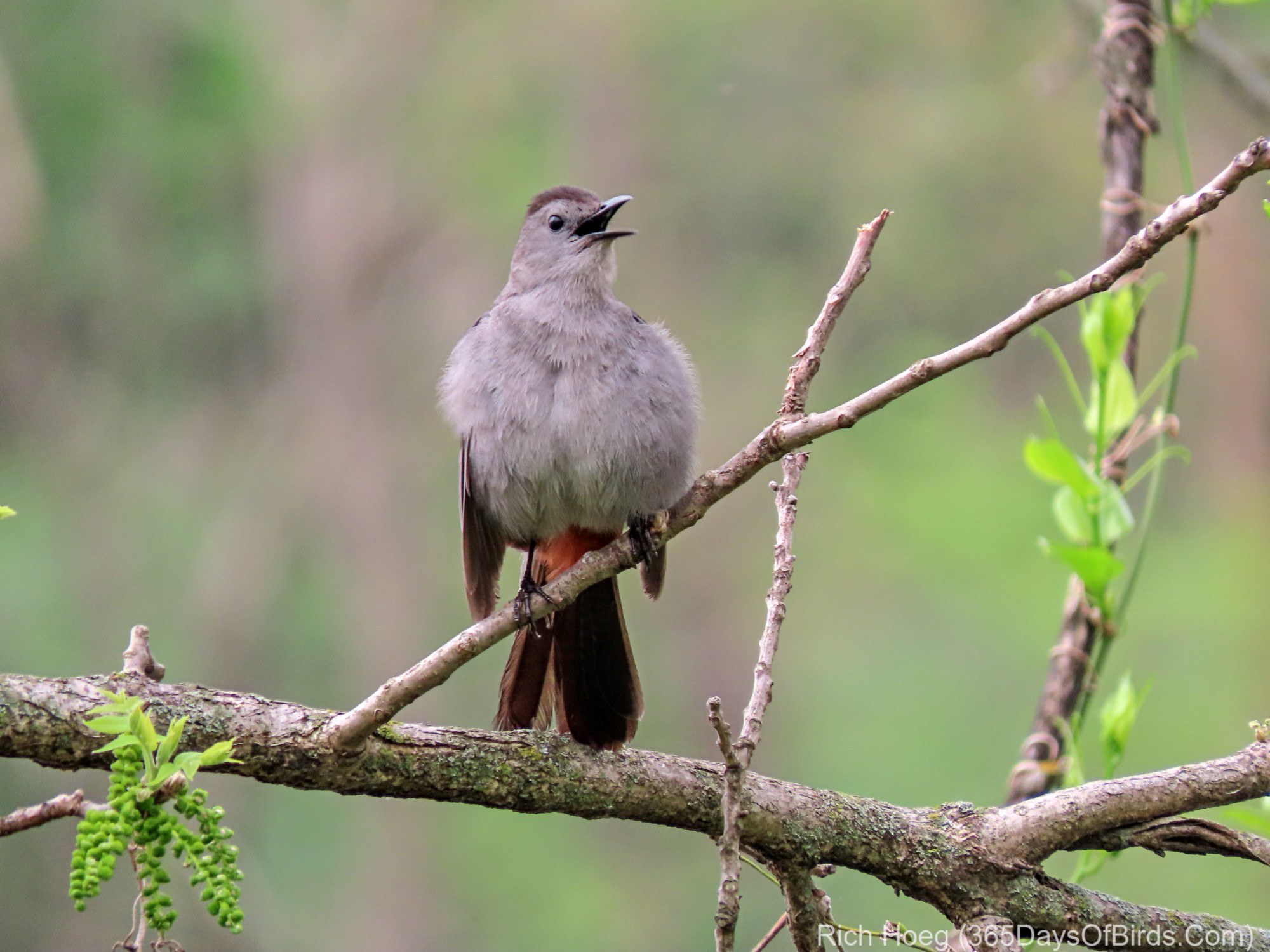

We did reach our small cabin on the top of a very large hill in the Ozarks. When a line of thunderstorms came through last night at midnight, I was ready!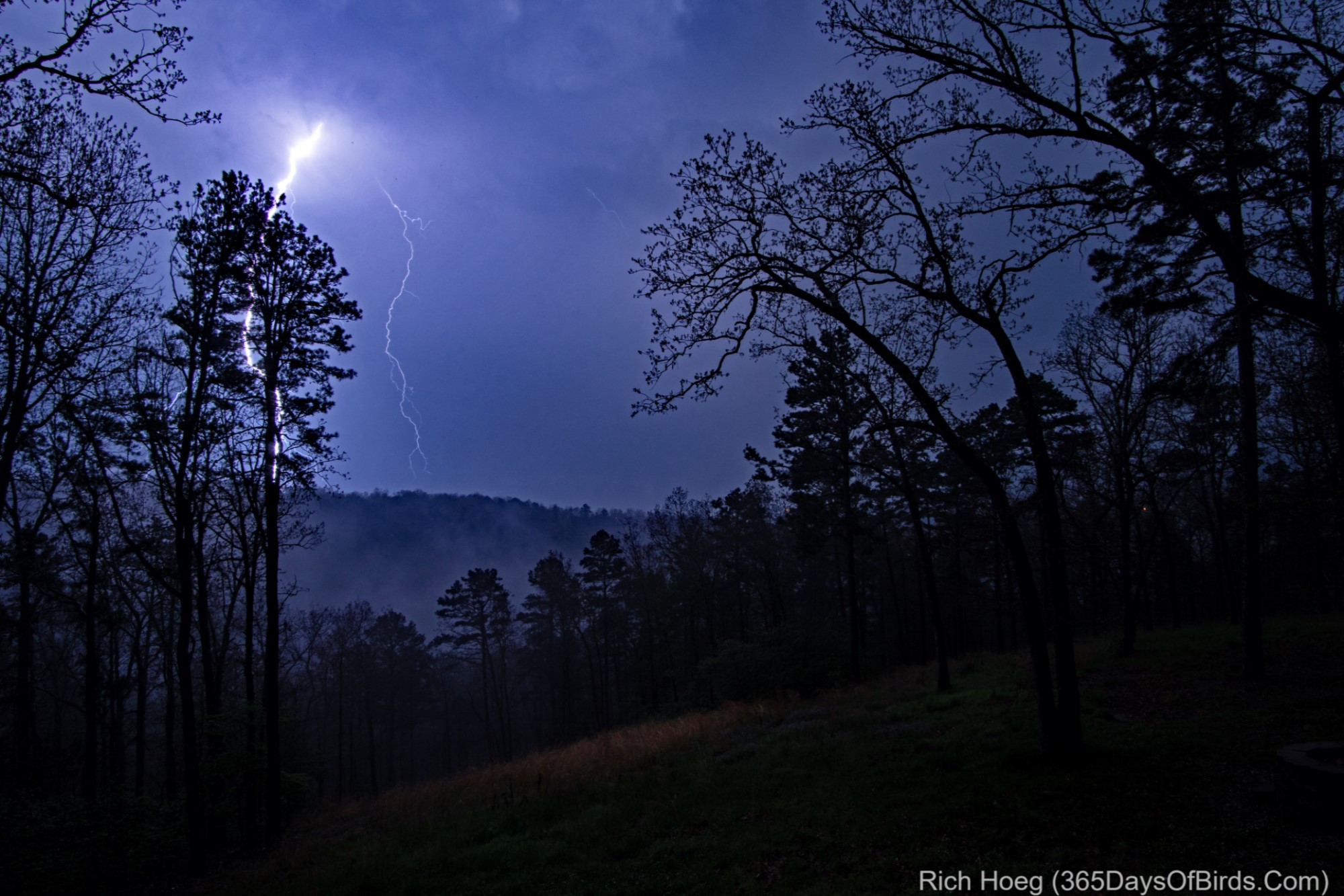

Discover more from 365 Days of Birds
Subscribe to get the latest posts sent to your email.
beautiful images. enjoy the ozarks!!!!!
When traveling I use eBird to check the surrounding hotspot reports. Let the locals turn you on to the best locations. Have a great trip.
I also use eBird, but Google Maps really helps in areas where there are not many eBird reports … like the remote, low population areas I tend to visit.