Folks who read my blog know I love the Sand Lake / 7 Beavers Nature Conservancy Preserve just a few miles distant from the Boundary Waters Canoe Area (BWCA). This special wilderness area is deep in the Superior National Forest. While almost 27,000 acres burned in the Greenwood Forest Fire, the wildlife including birds are charging back. I like to “hang out” in the Greenwood Creek region which is only 8 miles distant from the focus of today’s post, Sand River. To reach this area one drives inland from Two Harbors, Minnesota first via Lake County Highway #2 and then US Forest Road #15.
These images and video were taken shortly after sunrise on October 2, 2026.
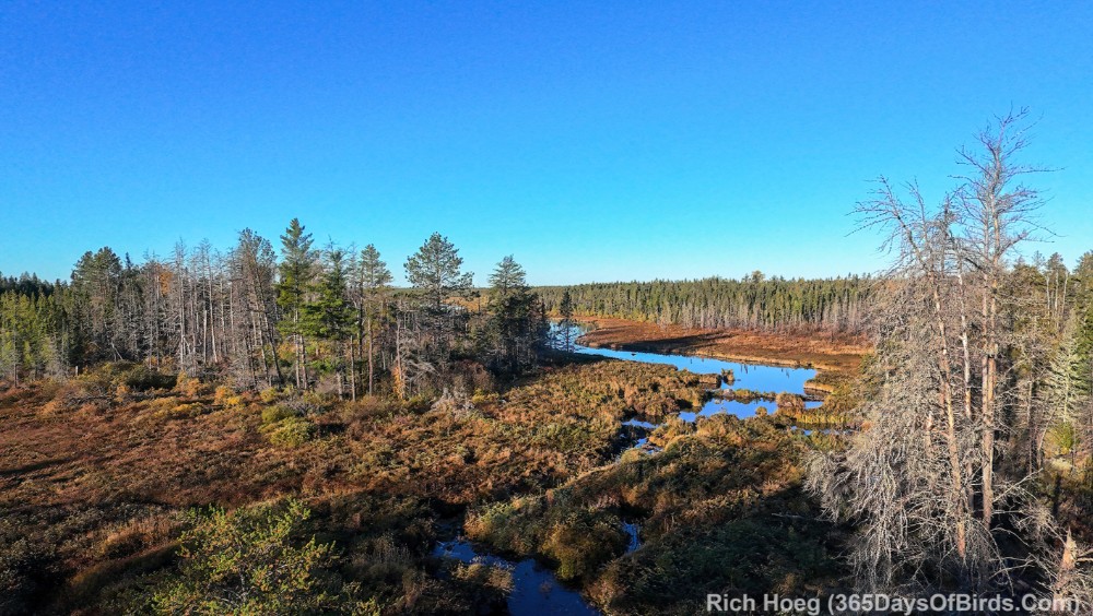
Sand River Stretching South from the Highway
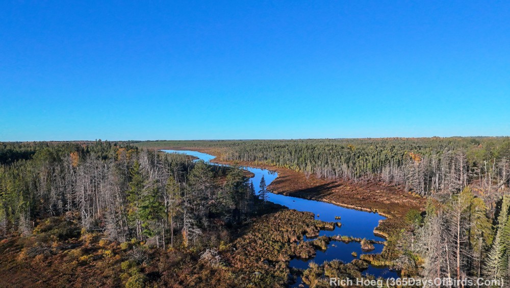
Sand River Stretching North from the Highway
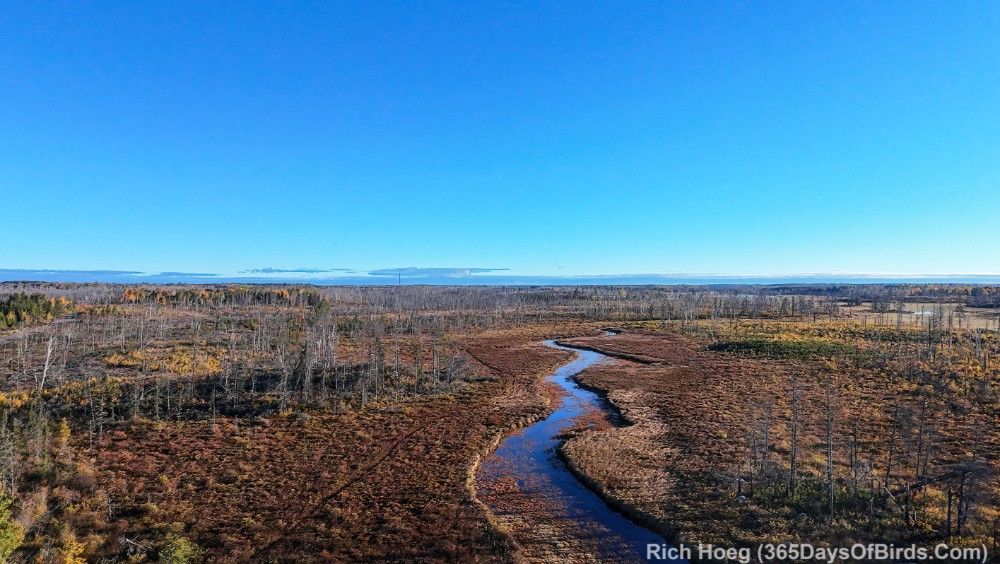
The Highway Stretches North
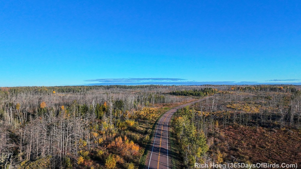
In total I was at the Sand River Wayside (this location) for almost 30 minutes. Nary a car drove by me while I used my drone. As a reminder I do NOT use my drone for wildlife photography.
A Drone Tour of Sand River (video link for blog subscribers)
Repeated from this spring … Greenwood Creek. (video link for subscribers)
You should have noticed a lot more “green” in this video. The Greenwood Creek area never burned and of course … it was Spring!
Discover more from 365 Days of Birds
Subscribe to get the latest posts sent to your email.