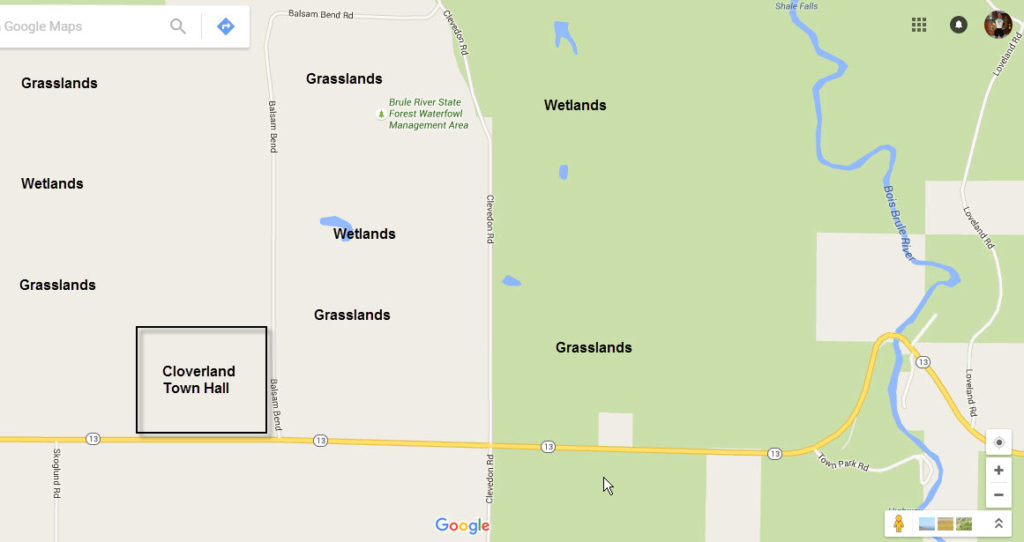
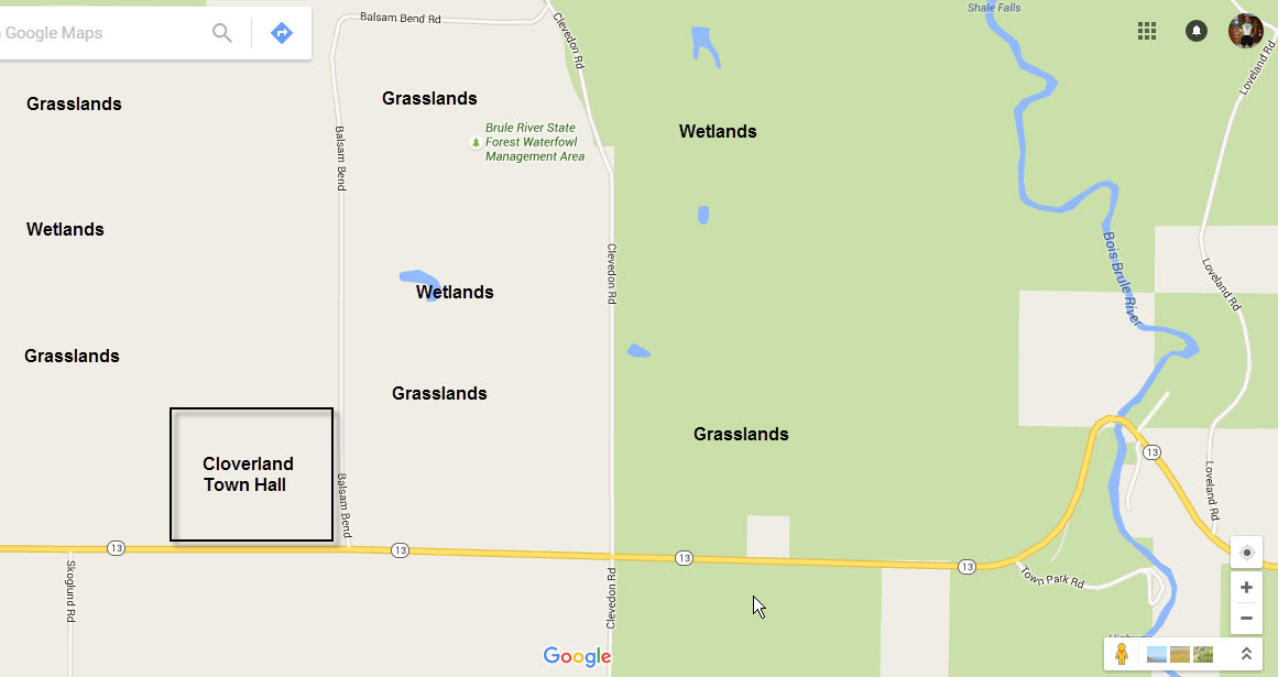
I am a Boreal Birder with a Minnesota frame of mind. Living on the northern edge of Duluth which is the southern fringe of the Boreal Forest which stretches up into Canada, I am used to birding pine forests. Yesterday I started to wonder whether a trip across the St. Louis River Bay (Duluth Harbor) to the South Shore of Lake Superior was the ticket. Normally I do not like to drive the 30 minutes it takes to travel through Duluth, and Superior … and then on to the South Shore. However, research seemed to indicate neat Grasslands in proximity to some wetlands near the Brule River.
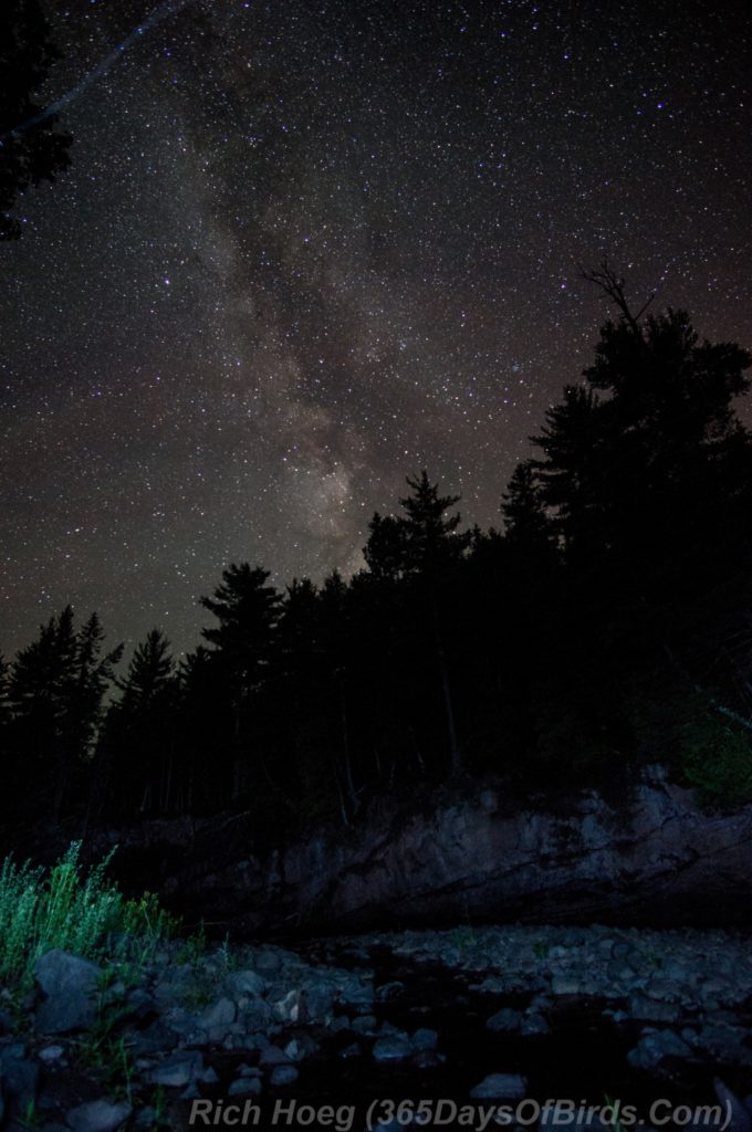
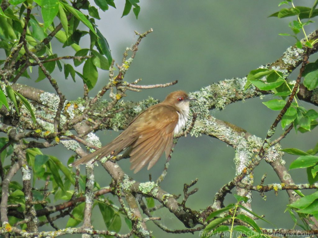
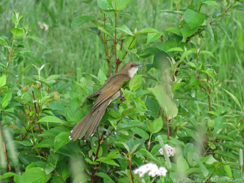
Thus, even though I had spent 2 hours photographing the Milky Way last night, this morning I took off at 6 am and drove the 45 miles to Cloverland, Wisconsin. I discovered the wetlands I had been researching on Google Satellite View were actually a wildlife preserve named the Roy Johnson Wetlands … with a huge amount of grasslands abutting the wetlands. Jackpot! I was in birding heaven, finding “groovy grasslands” like I might see in western Minnesota, or much further to my south. There were all kinds of birds I normally never see, and I even captured my 200th specie, The Black Billed Cuckoo! I don’t tend to focus on numbers, but 200 is still cool. Given my love of photography, I often skip looking for birds which would pad my count.
Upon crossing the High Bridge to Superior, I thought I had made a major mistake by driving the 60 minutes over to Cloverland. While the weather was crystal clear in northeastern Minnesota, the northwest wind had the South Shore socked in with pea soup thick fog. Patience is a virtue when birding, and after 60 minutes of exploring in the fog, blue skies started to make an appearance as the sun burned off the mist.
In addition to “normal birds”, I saw these fine feathered friends which I would never see in the Boreal Forest of Northeastern Minnesota. I really hit the jackpot when I birded the Cloverland Town Hall. The mowed grass with fence posts separating it from the grasslands was a favorite ambush hunting spot for many, many kinds of birds. My next most favorite spot the the first mile of Balsam Bend Road.
- Black Billed Cuckoos
- Bobolinks
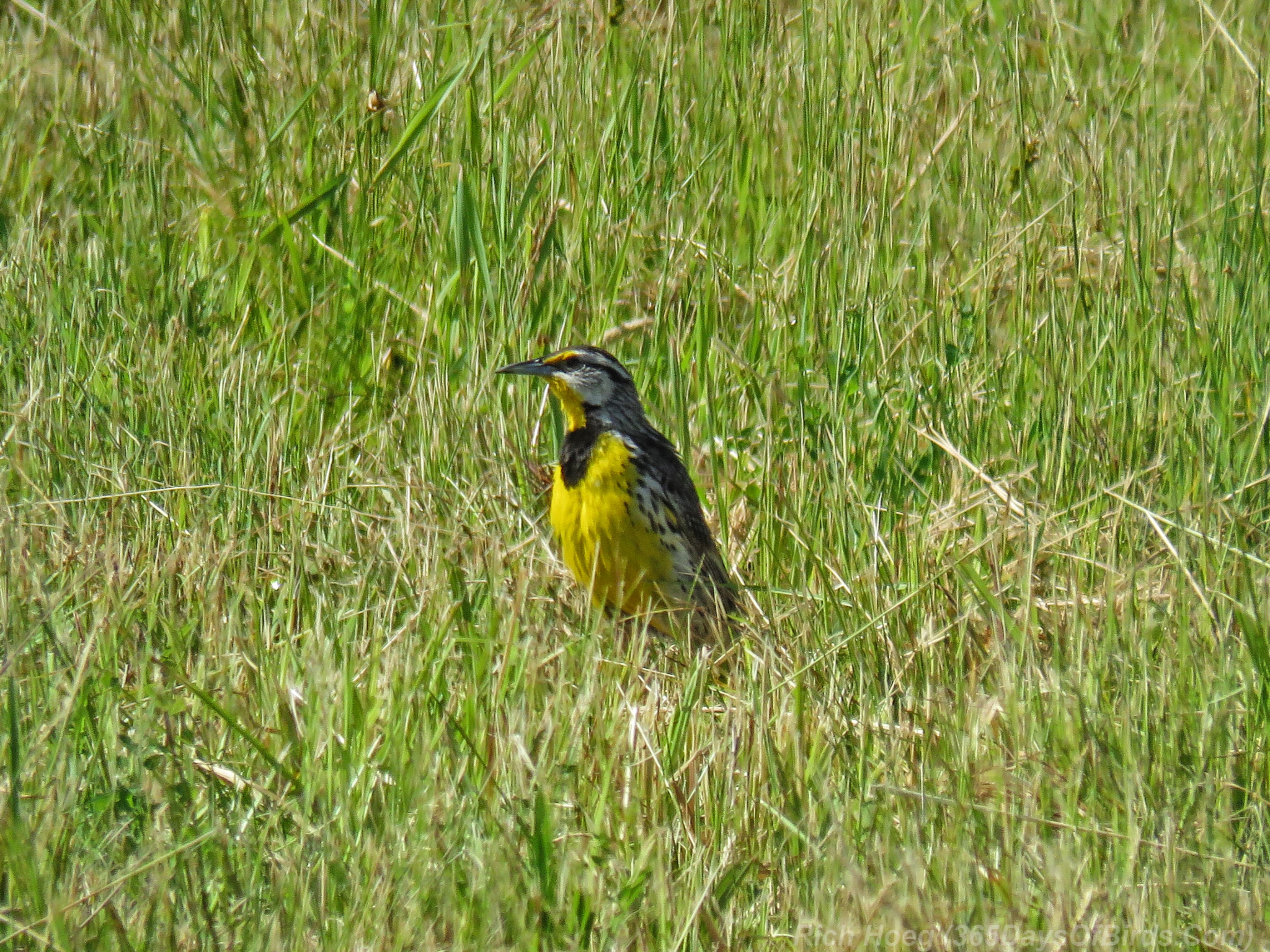
- Eastern Meadowlarks
- Red-Headed Woodpeckers (a breeding pair!)
- Wilson Snipes
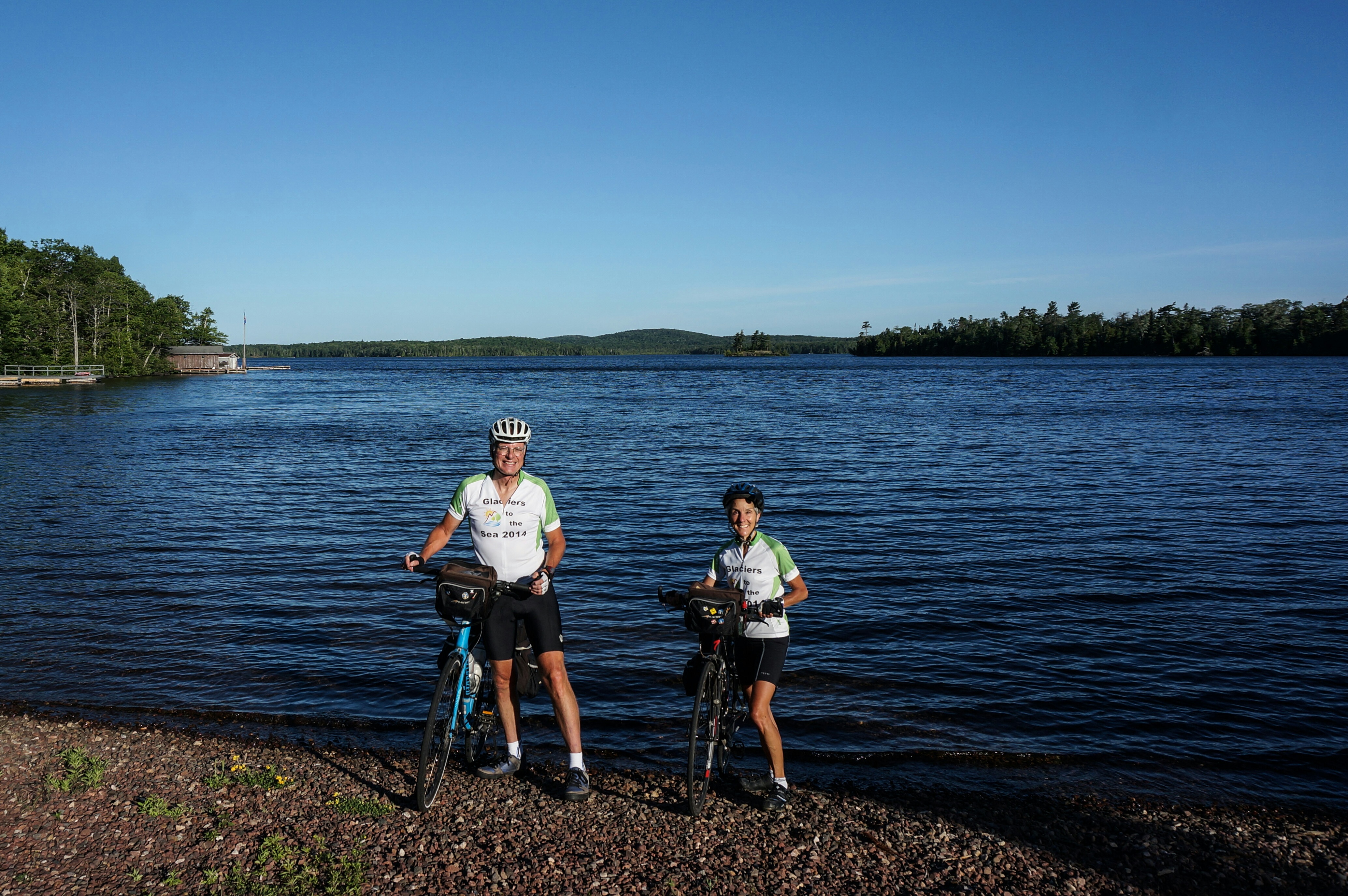
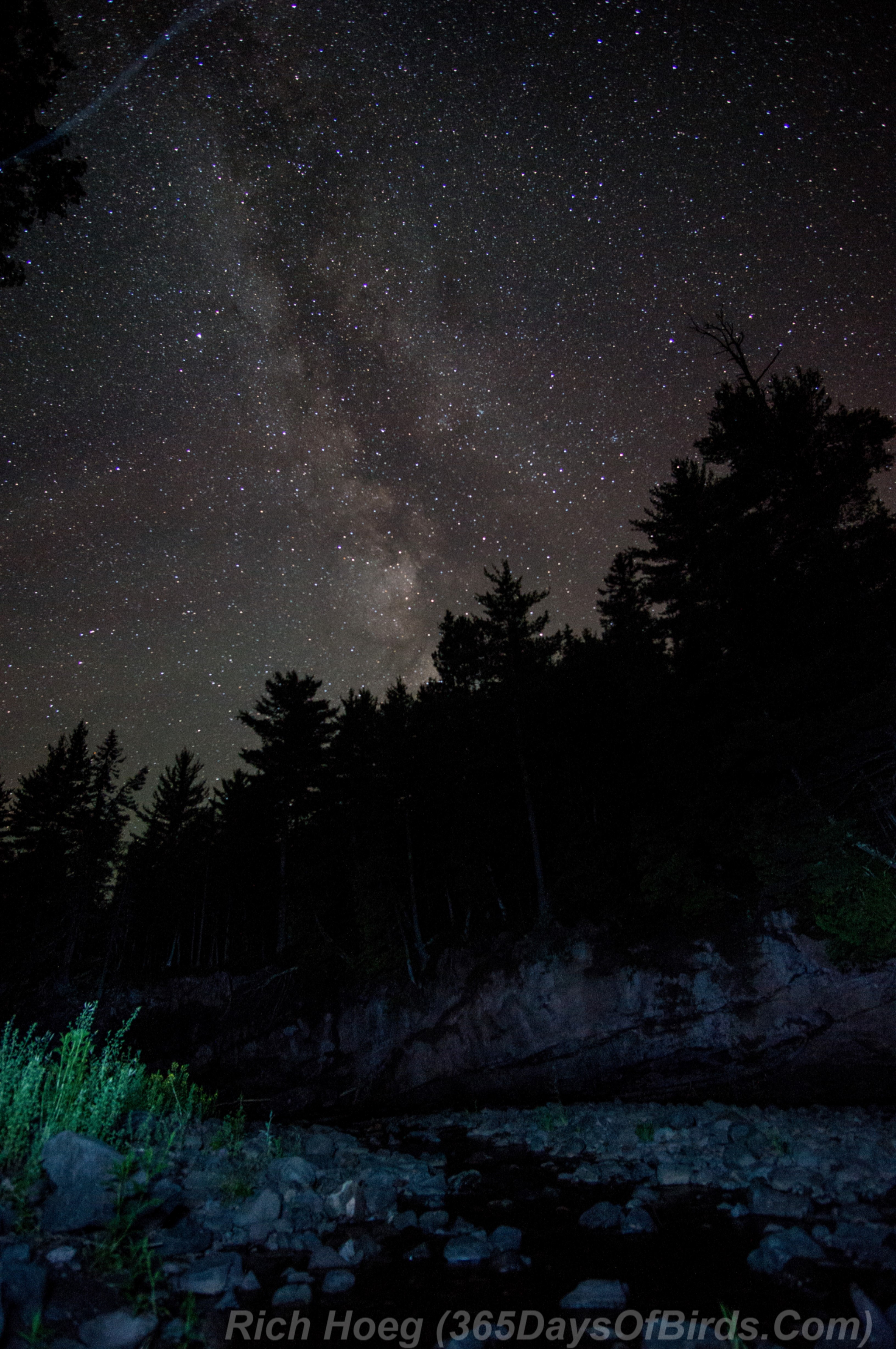
Here are some photos from my excursion, starting with my 1 am jaunt / hike down into the Knife River Ravine to photograph the Milky Way.
———-
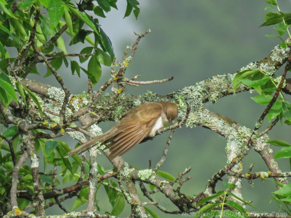
Black-Billed Cuckoo

———-
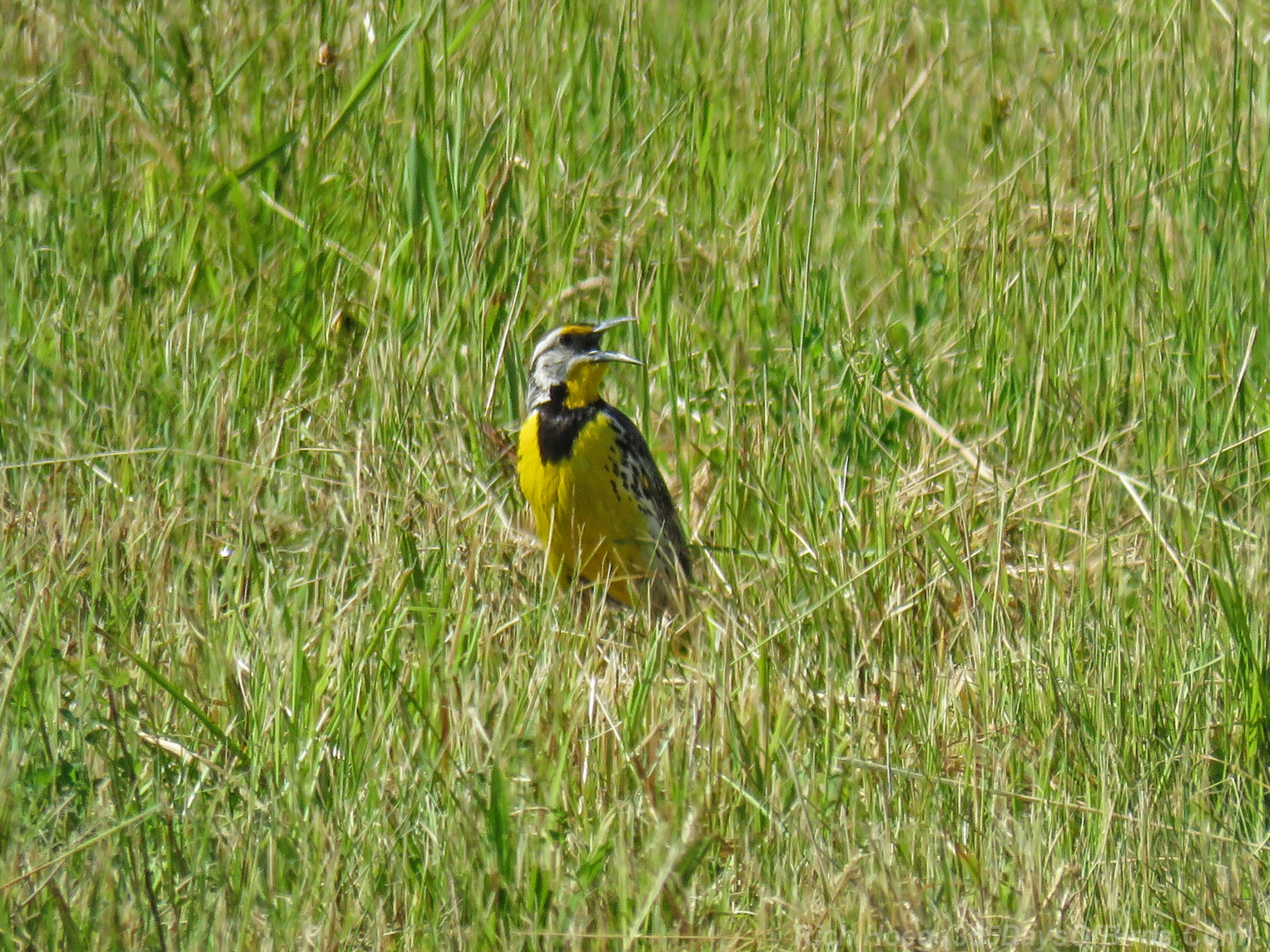
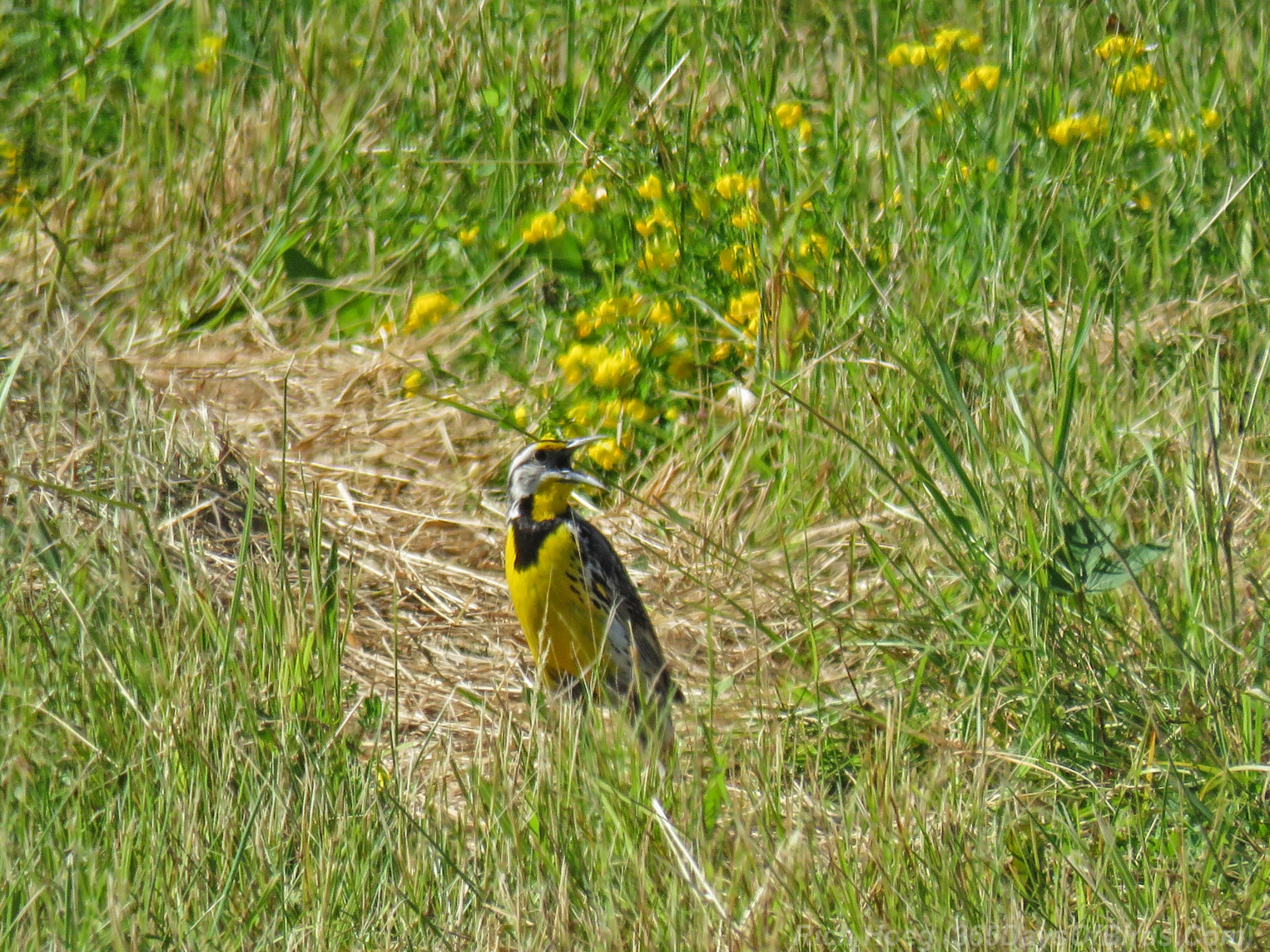
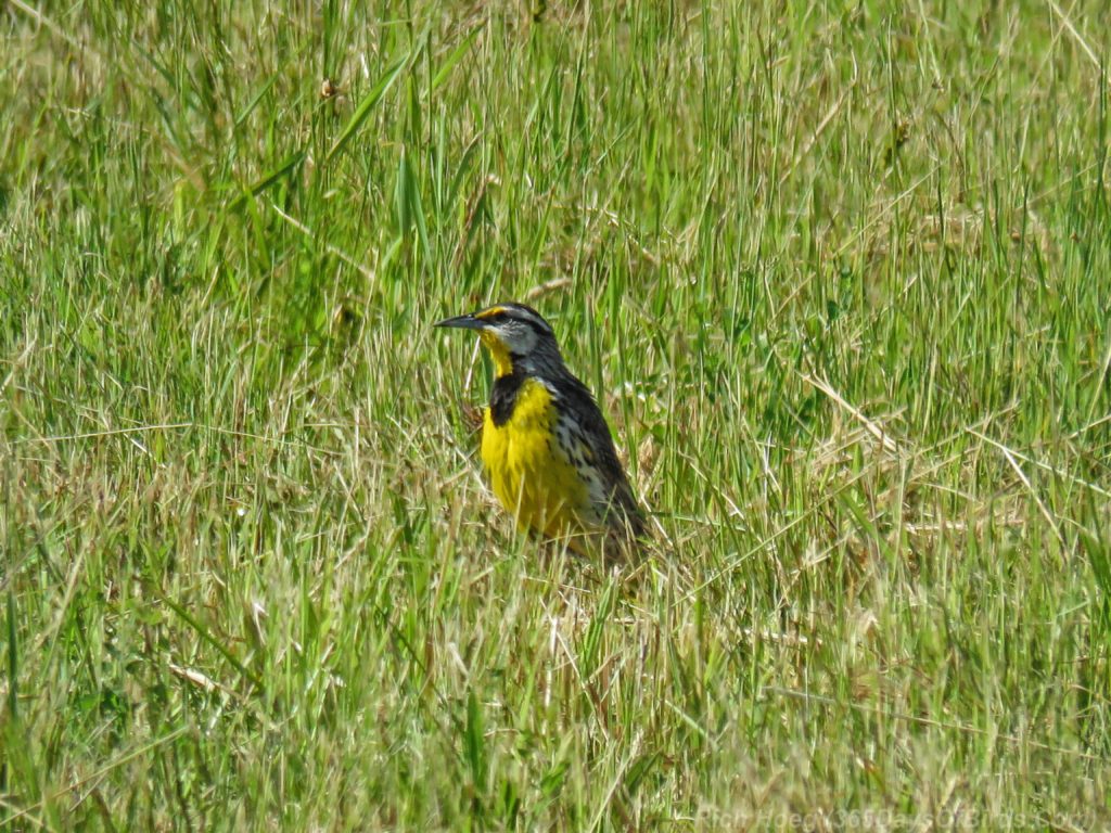
Eastern Meadowlark


———-
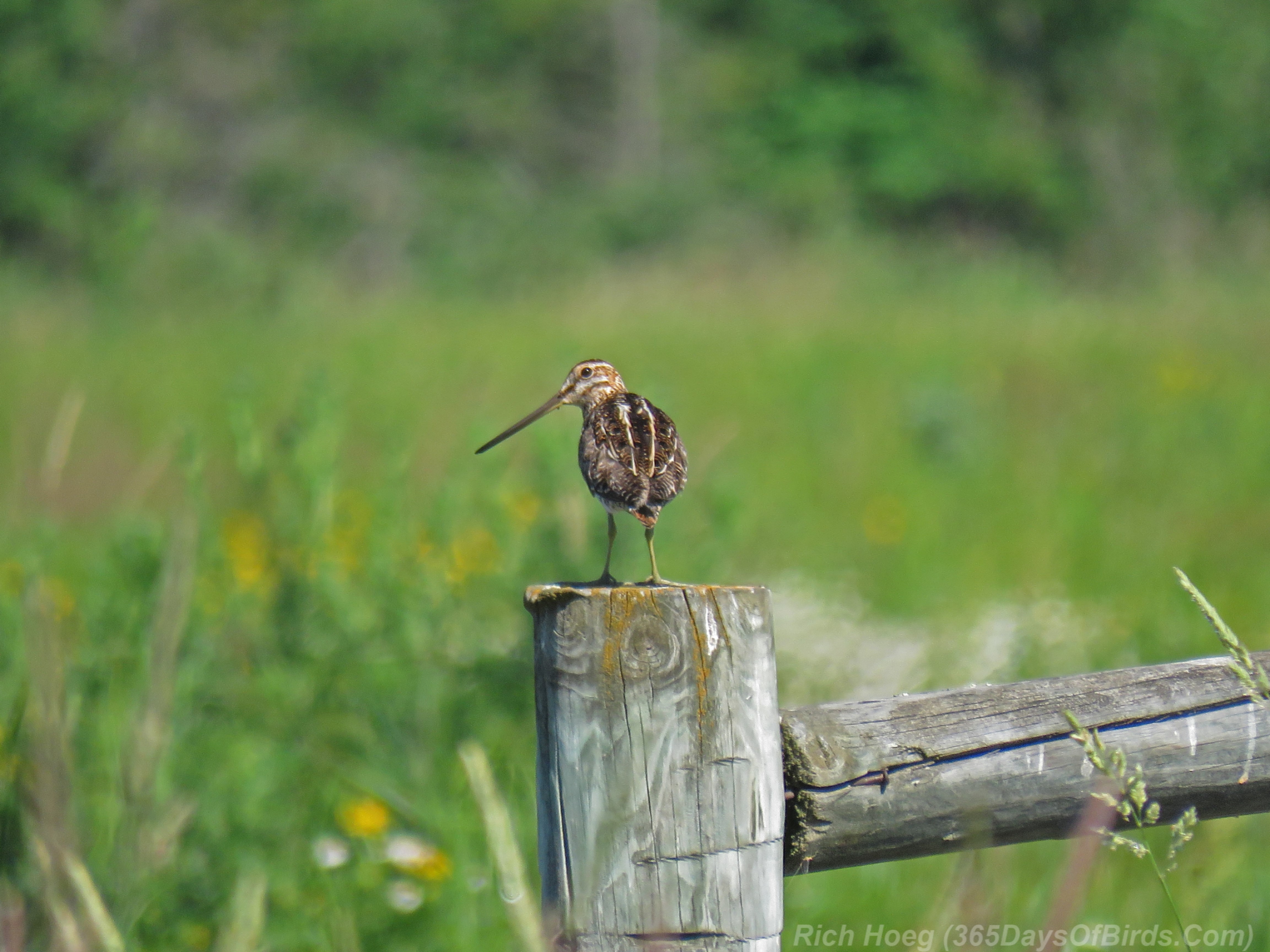
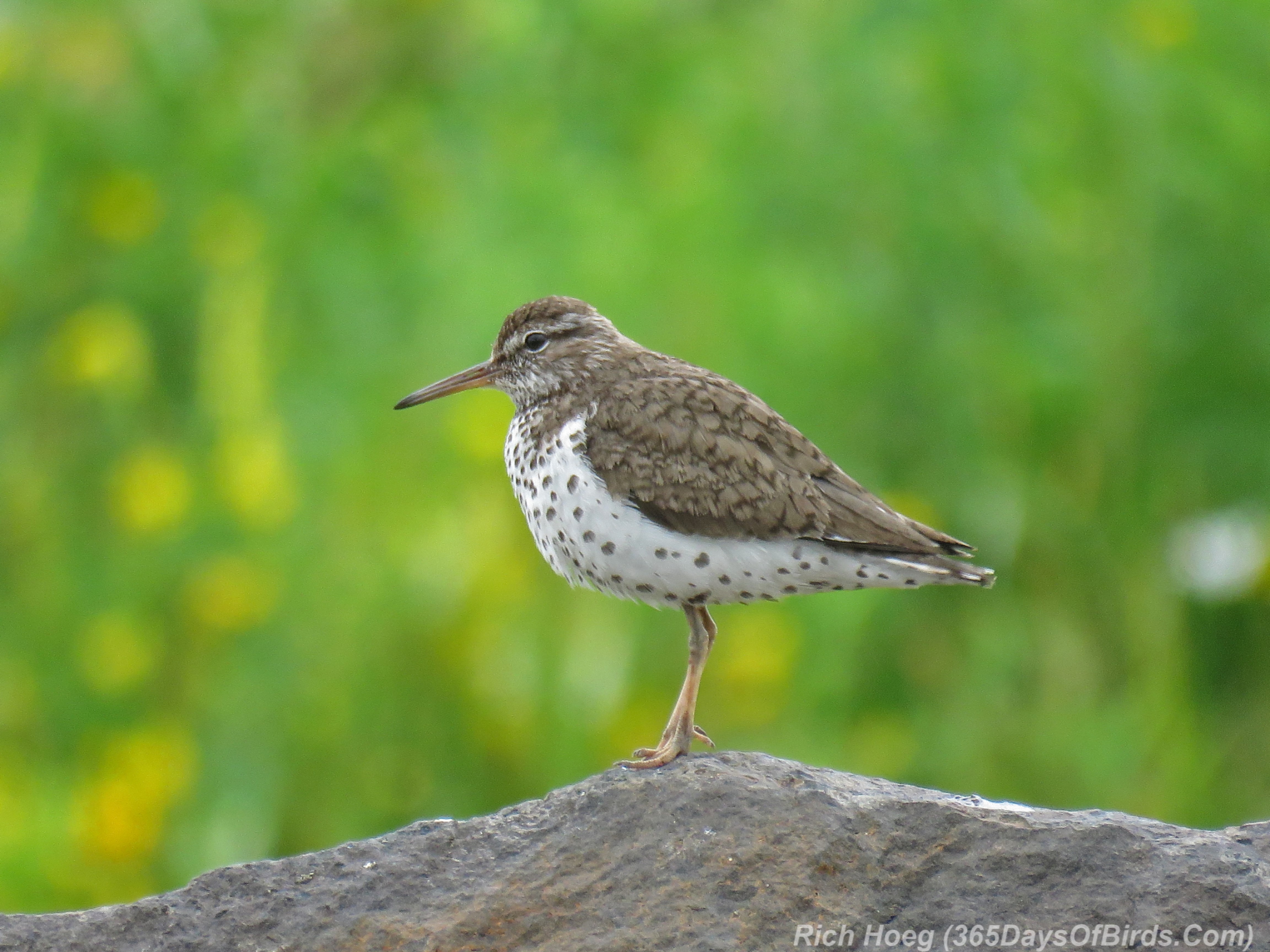
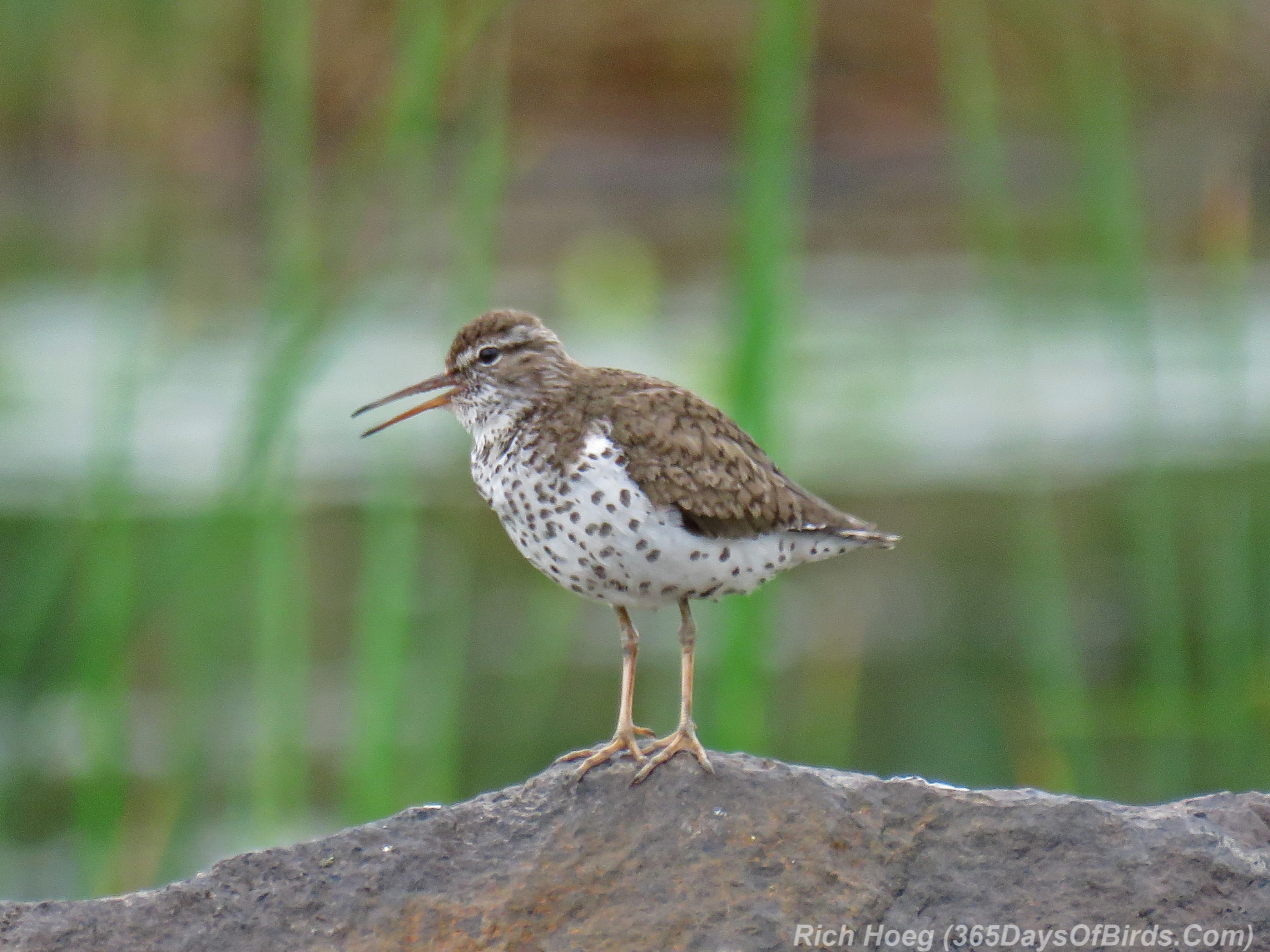
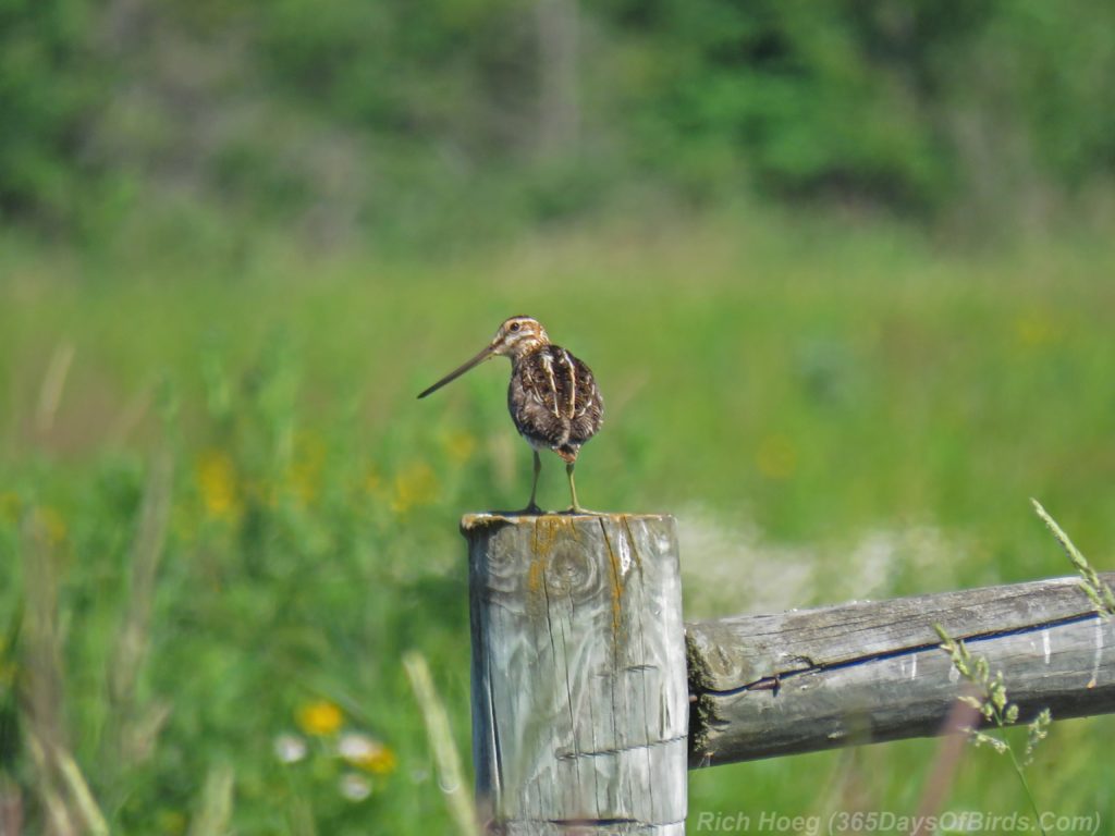
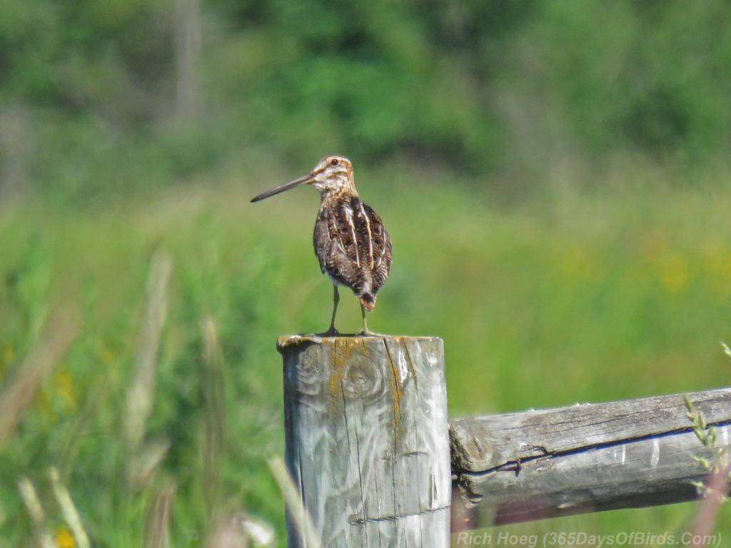
Wilsons Snipe
———-
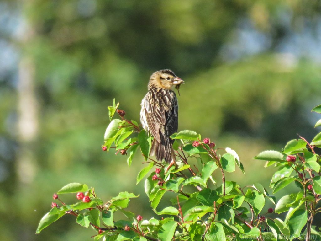
Bobolink (female)
———-
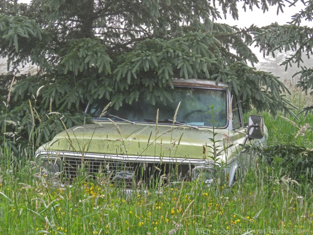
Truck (old)
———-
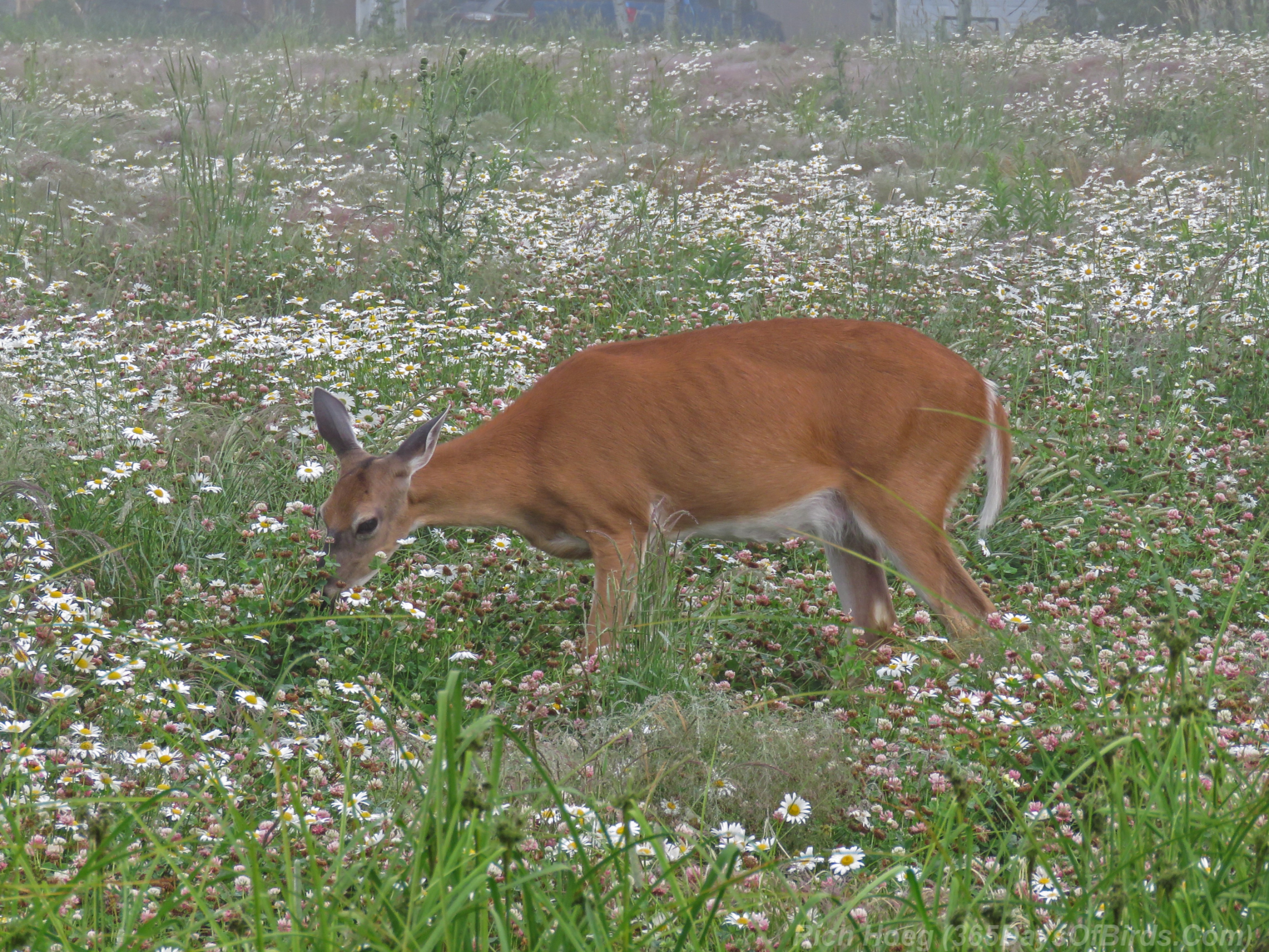
White-Tailed Deer

———-
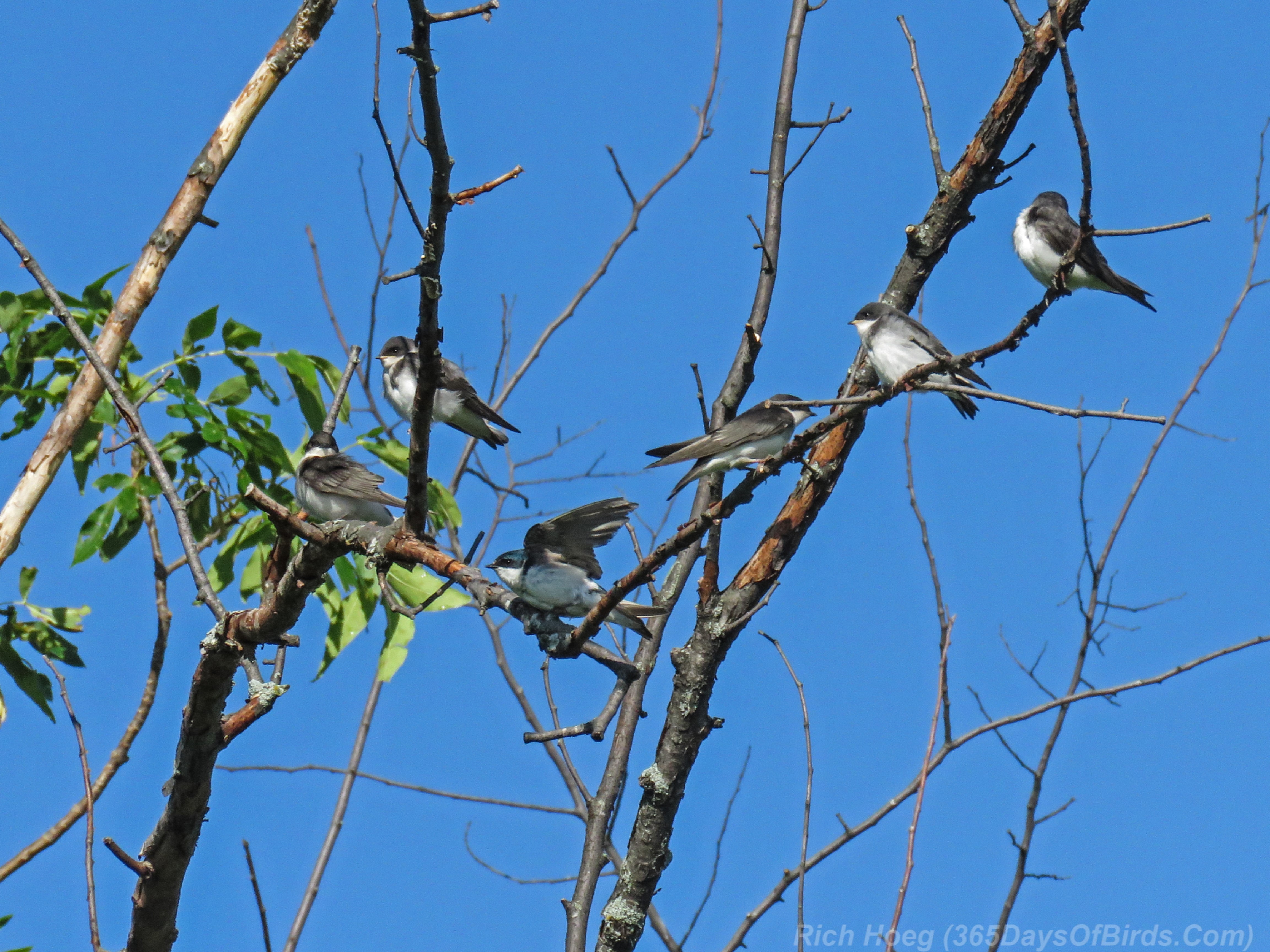
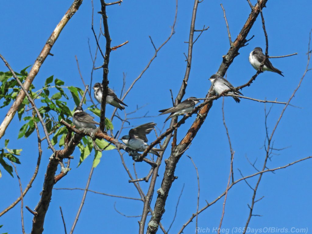
Tree Swallows
———-
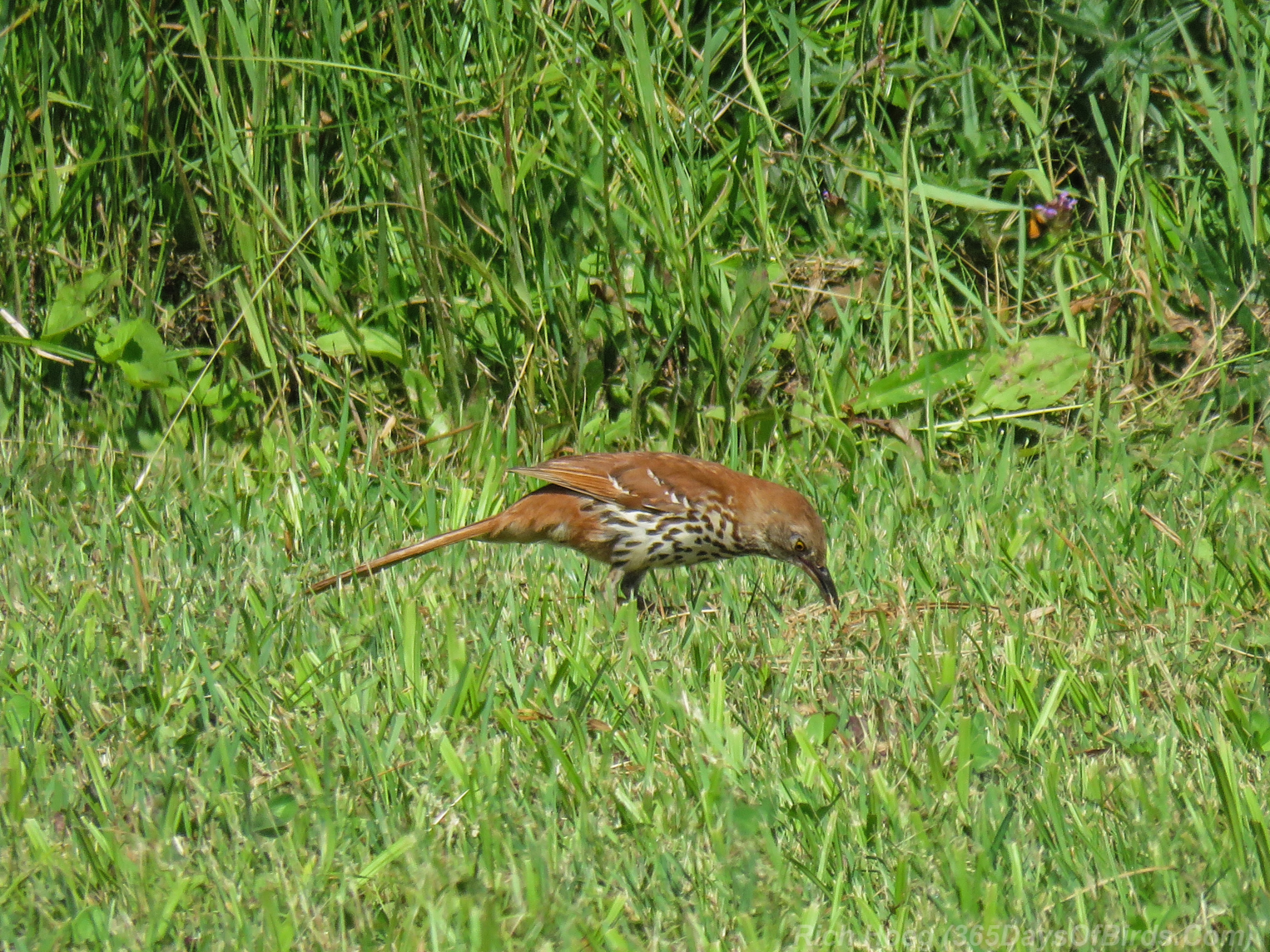
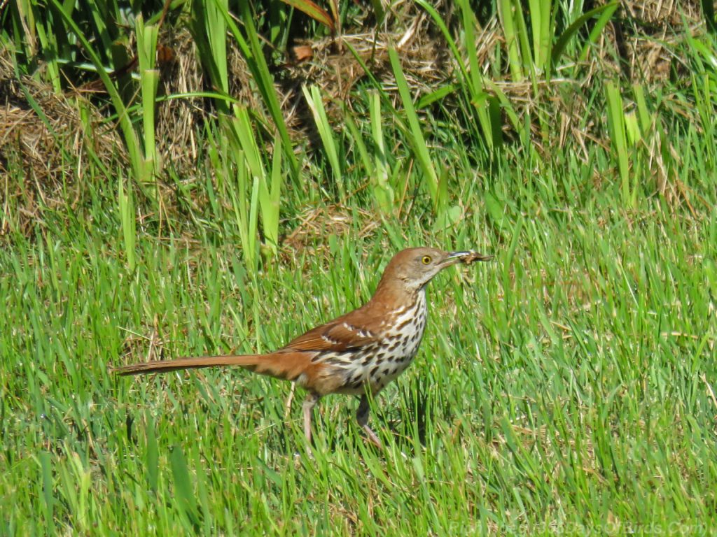
Brown Thrasher

———-
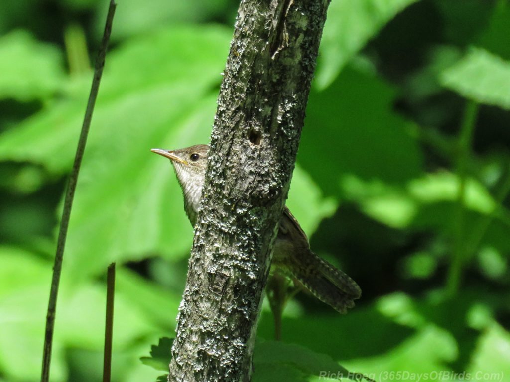
Peak-a-Boo House Wren (when I got home walking up the steps)
———-
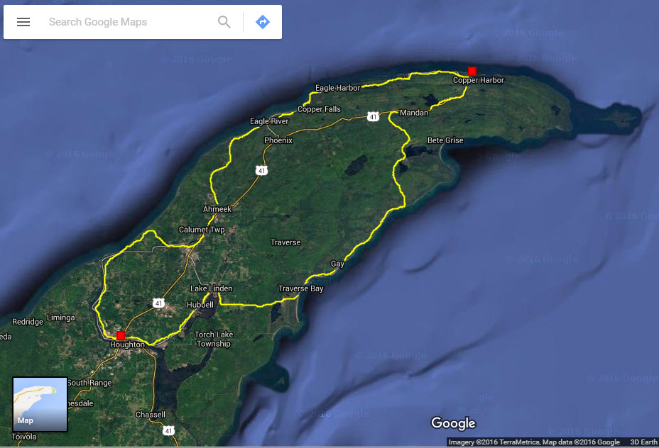
Cloverland / Wetlands Maps