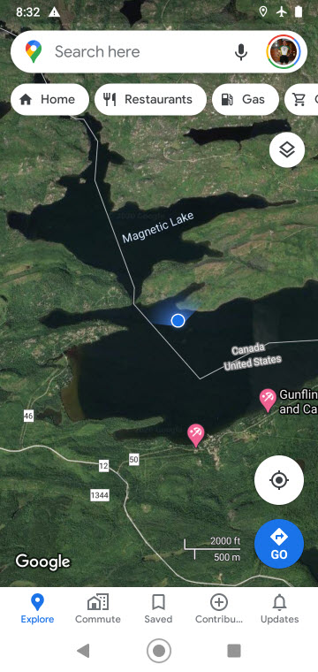
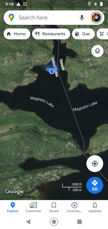
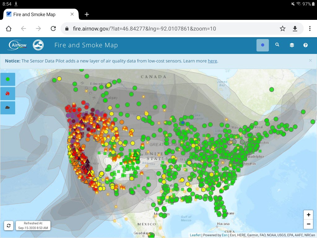
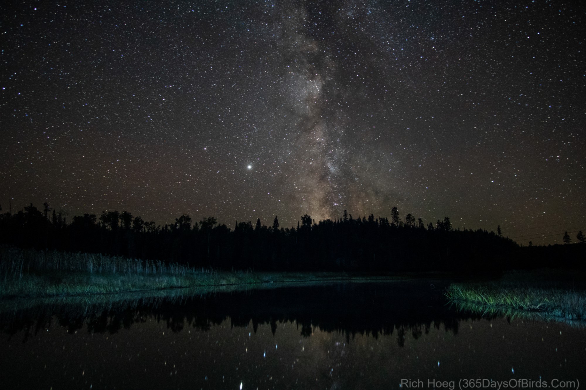
Last night the smoke from western wildfires cleared out of the area. I took this image of the Milky Way where the Cross River flows into Gunflint Lake. The reeds were illuminated by about 1/2 second of light painting (i.e. I shined my flashlight on the scene so very quickly). Camera settings were: Sony A6300, Rokinon wide angle manual lens, ISO = 3,200, Aperture = 2.0, Exposure = 25 seconds.
This photograph demonstrates why last week the International Dark Sky Association named the BWCA the 13th dark sky gem in North America. The night sky where I took this photograph is rated a “one”, the best score possible in terms of darkness.
While I was on location last night for 45 minutes, the temperature fell from 42F to 37F. By 7 am this morning the temperature was 26F near Seagull Lake (low boggy area).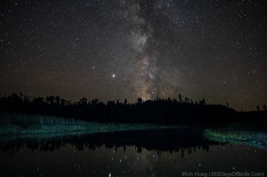
This image is so much better than the photograph I took a few nights ago. I finally had the clear skies I wanted … no moisture or forest fire smoke. Learn how I planned the shot.