Today will end my Covid quarantine, and tomorrow assuming I mask up, I will be able to reengage with the world. It will be fantastic to spend time with my wife. We have gotten behind in watching “The Crown”!!
As I have noted in prior posts this week, I am hard at work completing the second edition of Snowy’s Search for Color, and have pushed along on my new book … about Smokey the Great Gray Owl! Thus, it should be apparent that my case of Covid is somewhat mild!
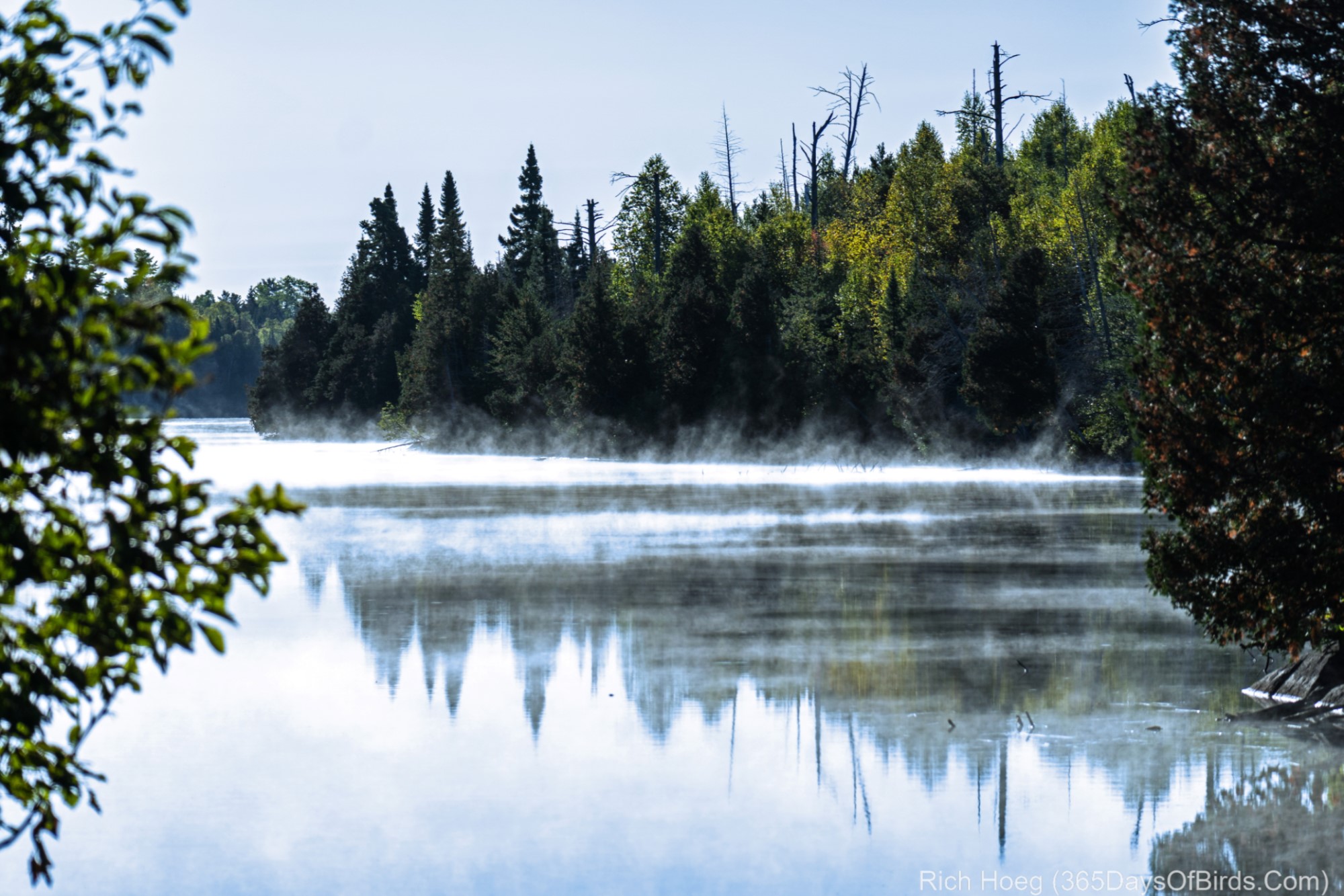
Both of my two books on occasion involve using images of the night sky. Thus, after the hard process of making selections and processing edits, there two scenes will be used in the new book.
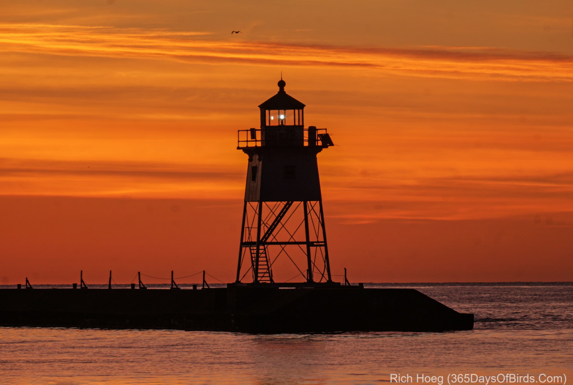
Milky Way deep in off the Gunflint Trail (It was so dark this night, that when I walked 25 yards away from my car, it was impossible to see my Subaru Outback! The BWCA is rated as having perfectly dark skies by the International Dark Sky Association)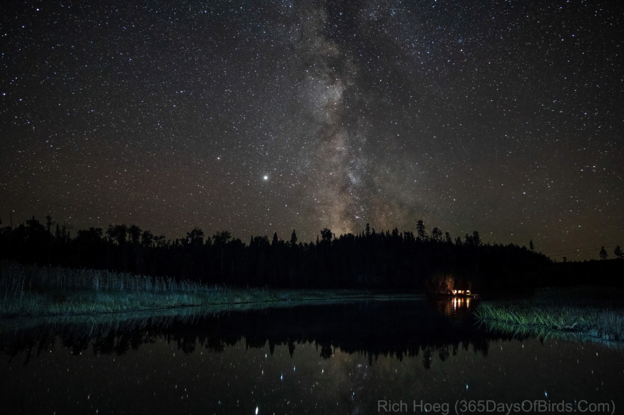
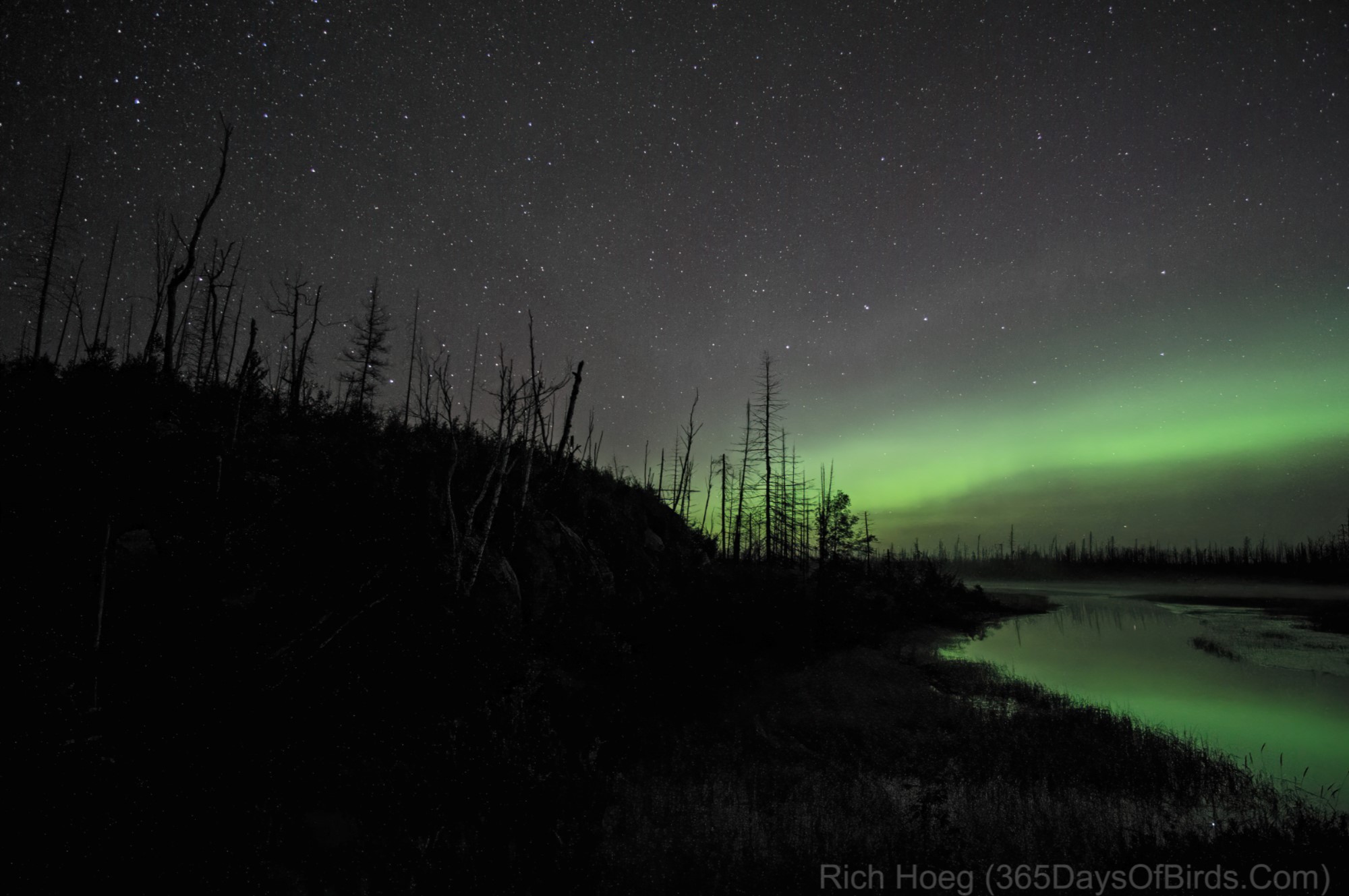
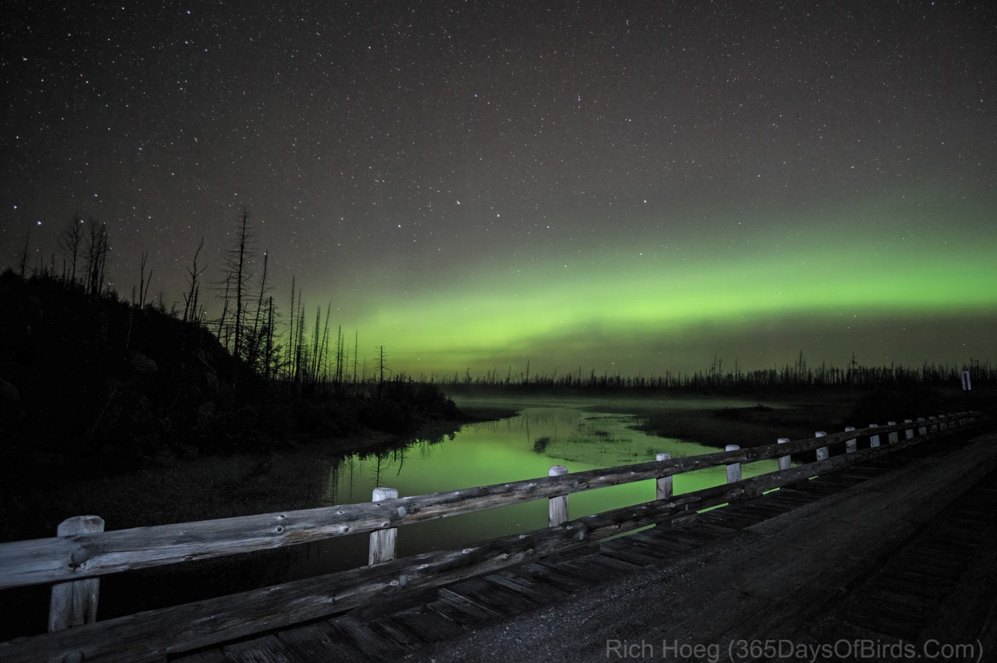
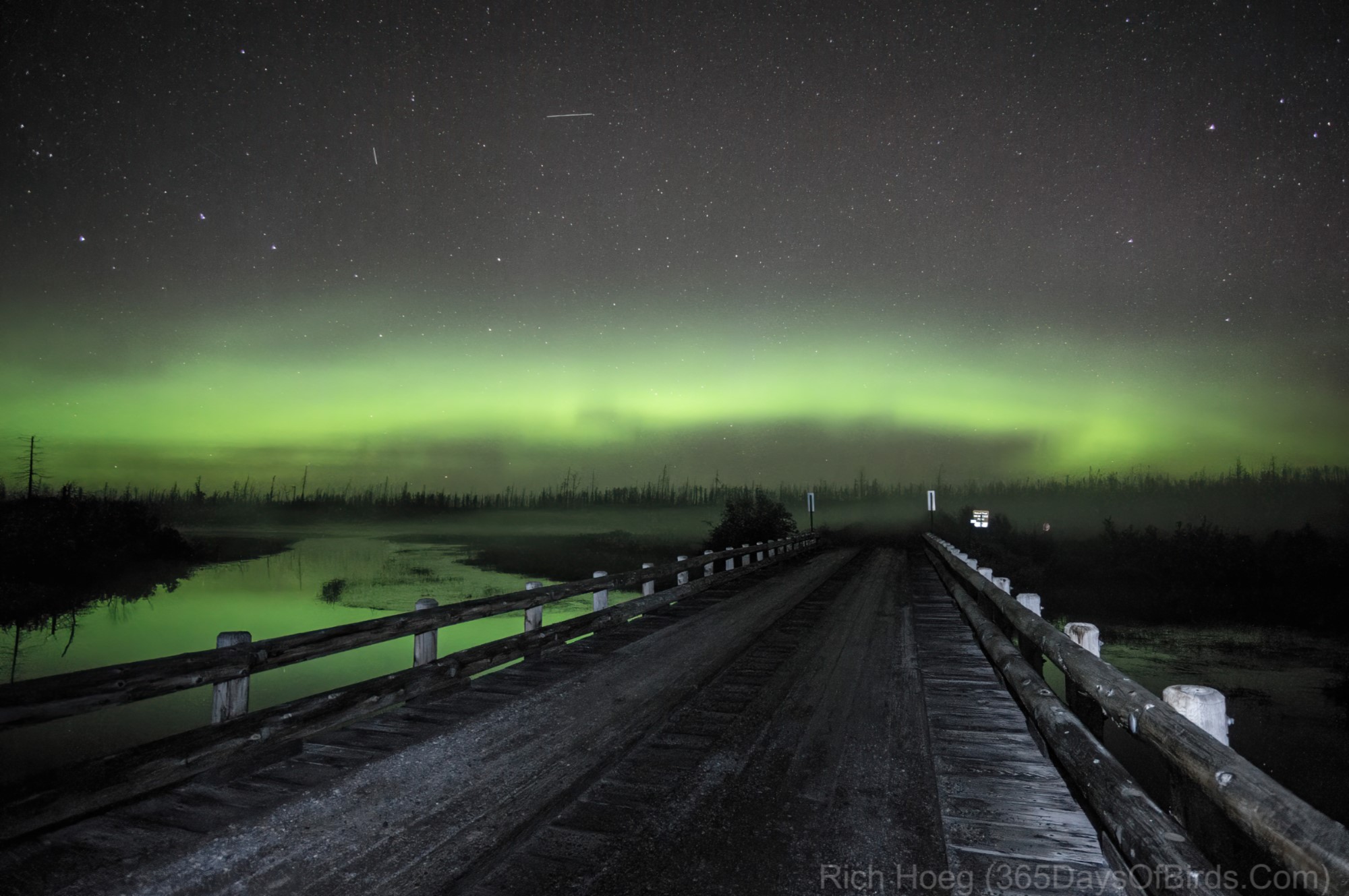
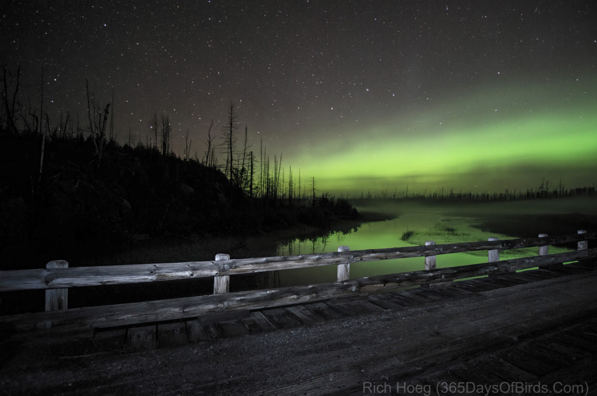
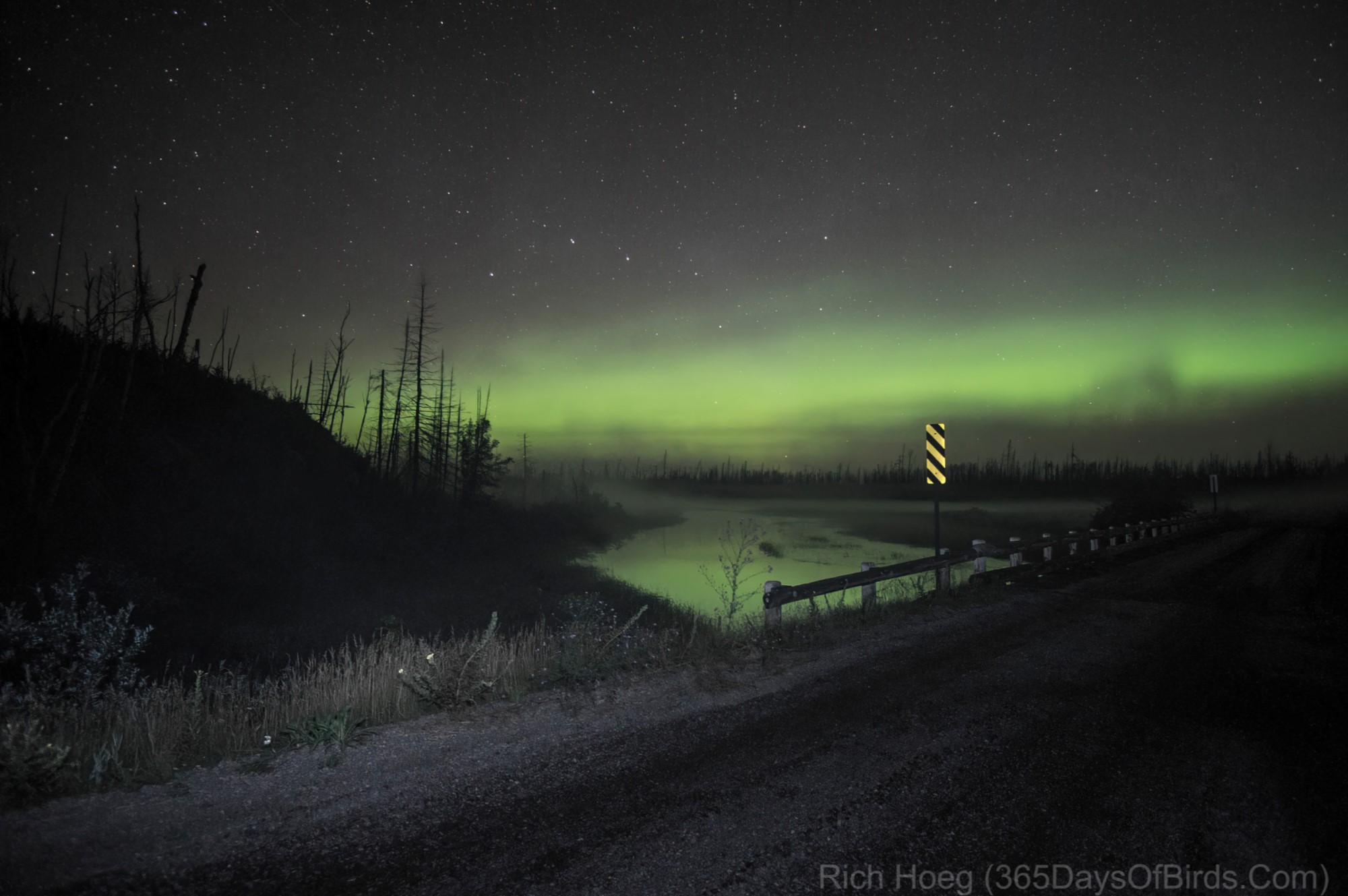
Northern Lights over the Pagami Creek Wildfire Burn Area (I was 18+ miles from the nearest paved road and within yards of the BWCA. During this entire night of Aurora chasing I never saw another person or vehicle … only heard wolves and owls! The Northern Lights had been much more dramatic earlier in the night, but the contrast between the burn area and the Aurora was awe inspiring). The light painting of the wooden bridge in these images was done with the ever so brief use of a tiny flashlight (about 1 second).