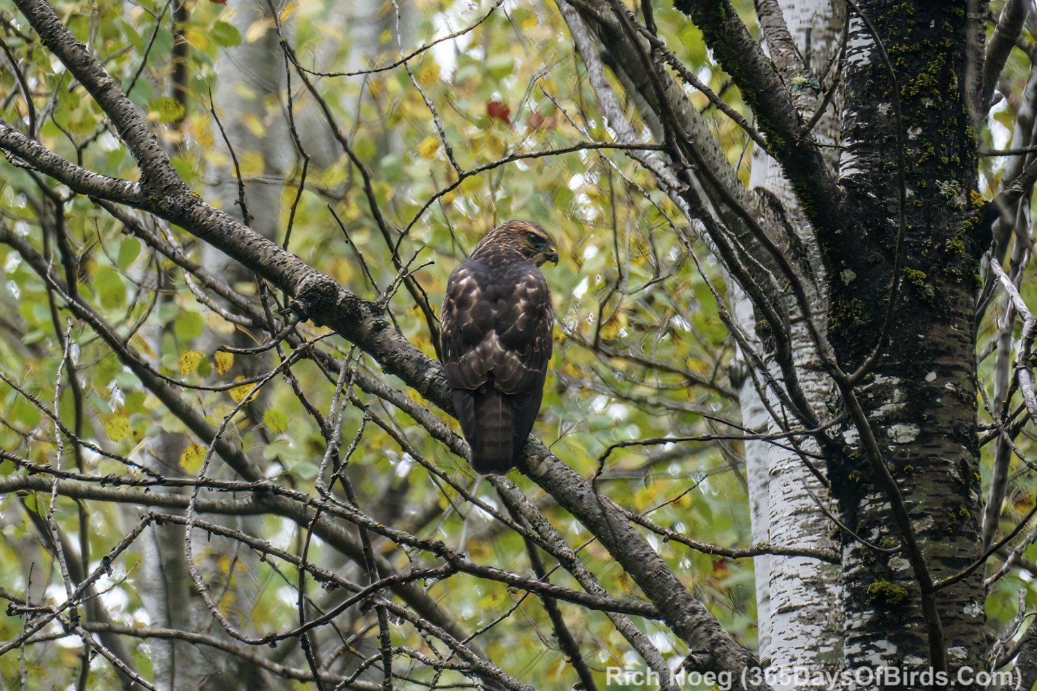
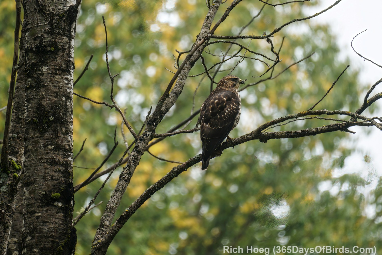
By the 1st of December I will likely know whether a smaller owl irruption will follow last winter’s great event. Bird statistics show that it is not unusual for a smaller irruption to follow a big event (like last winter).
Last November, I was actually one of the first individuals who realized that a magical winter of owls was in the offing. Given all the hikes that I take up in the Greenwood Boreal Forest Bog Region, I knew the number of owls I was seeing was most unusual. I kept my mouth shut about sightings with the exception of a few very trusted friends. Eventually the owls would move down to more populated and birded areas near Lake Superior, and we wanted to enjoy the experience before the word got out across America’s birding community (and it did).
Yes, last winter was special. For the first time ever I had a “Great Gray Owl” yard bird, and the owls were easily found within ten minutes to twenty minutes of my house from the latter part of December through mid February. I have a HUGE number of images of last year’s irruption. This is a small subset of photos which I am thinking of entering in a contest.
Great Gray Owl Irruption … The Hunt
I learned from a friend who is a scientist with the Superior National Forest, that during the owl irruption almost nary a bird was a first year owl, a juvenile. Apparently Great Gray Owl reproduction had been good over the past few years, but now their primary prey, the forest vole, was in short supply. Although Great Gray Owls are not a bird which normally migrates, the lack of food forced the owls to move south. We also have native Great Gray Owls which live year round in northern Minnesota, including Greenwood.
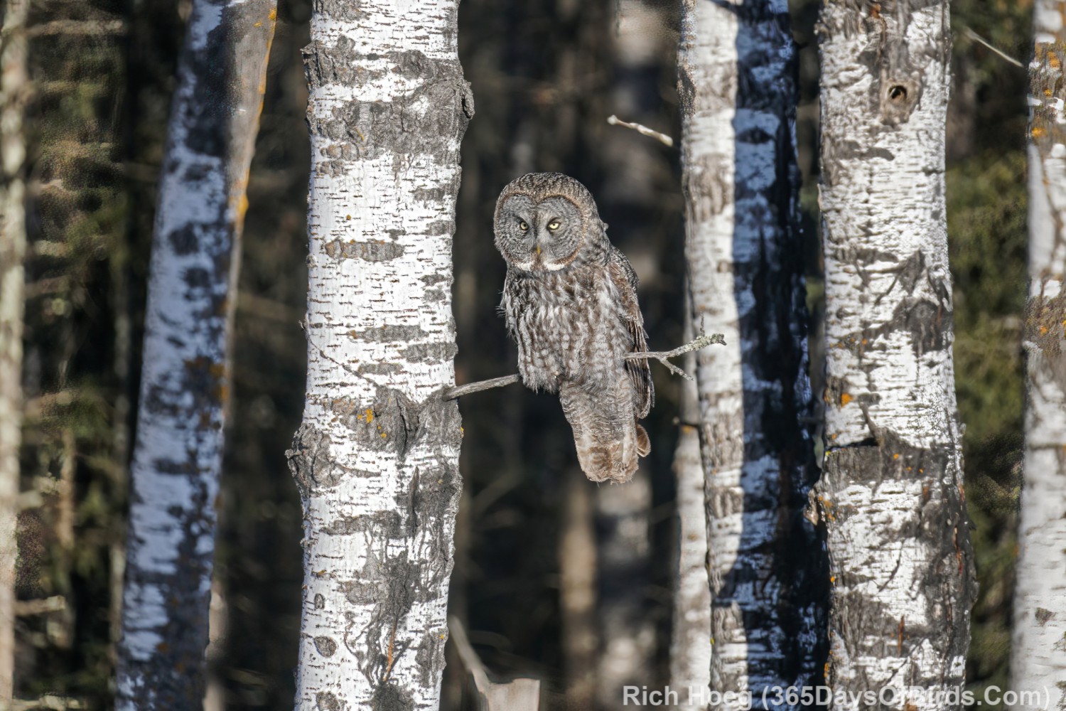
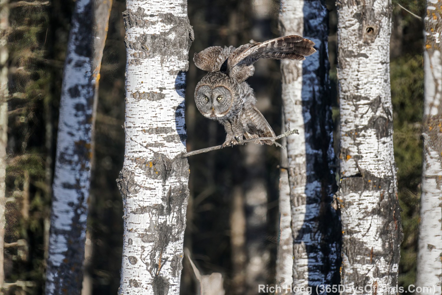
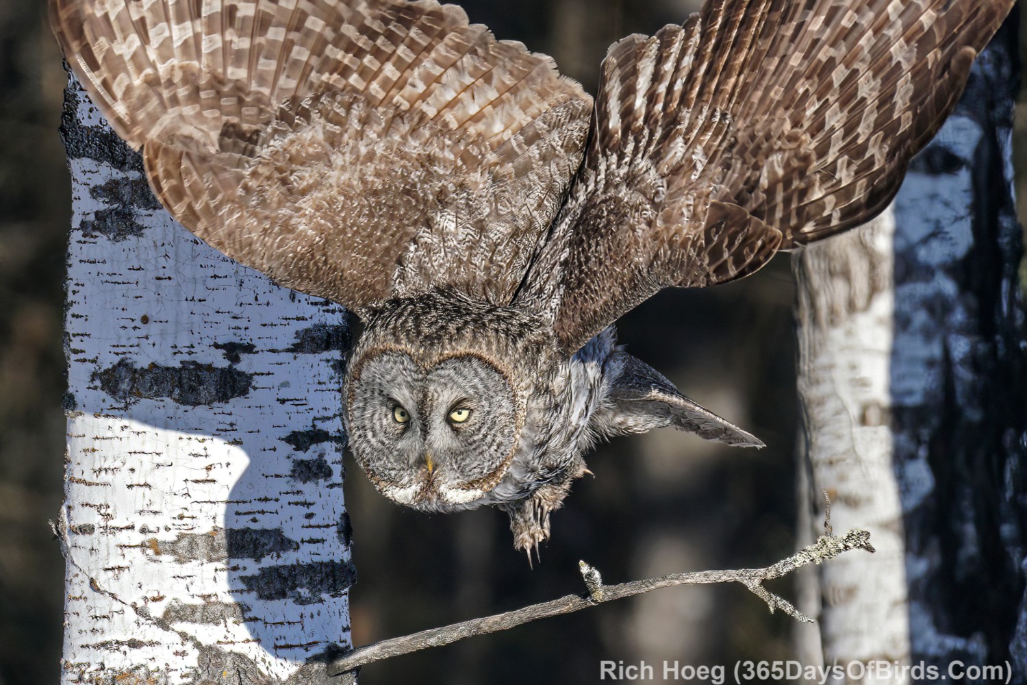
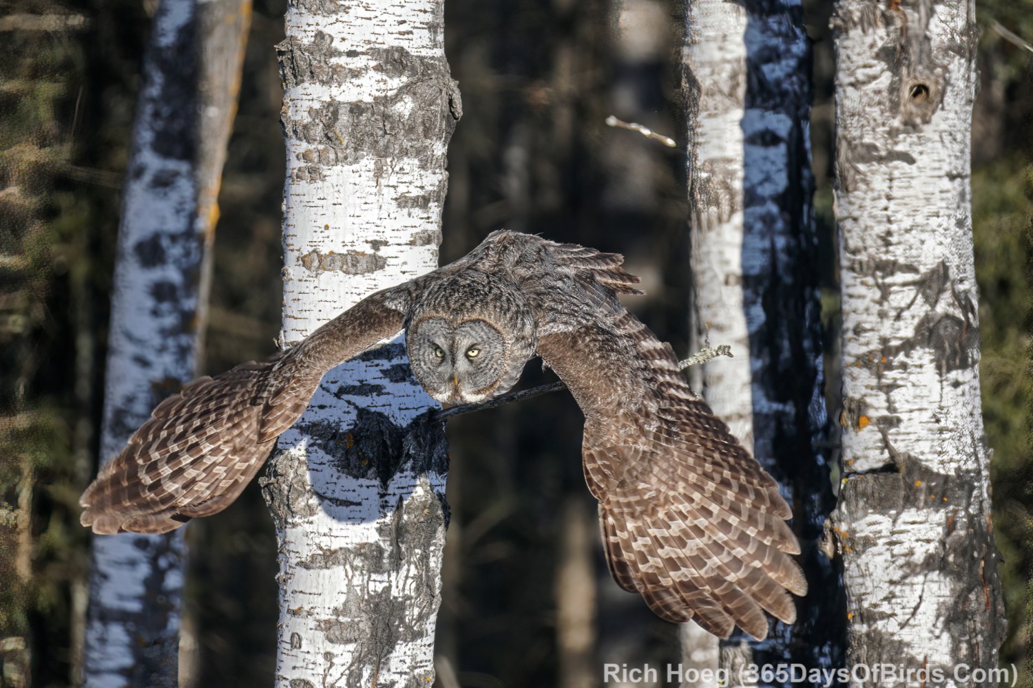
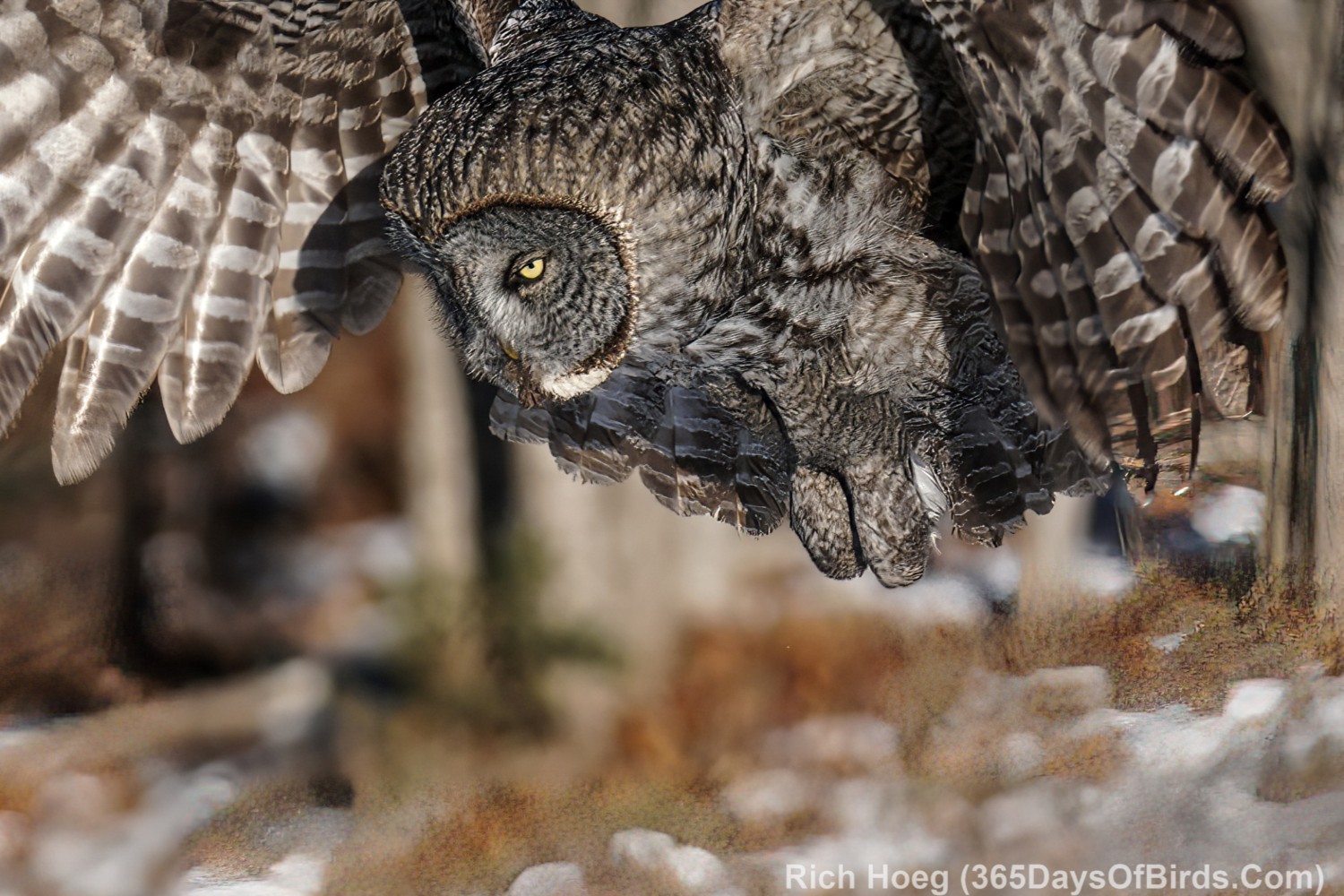
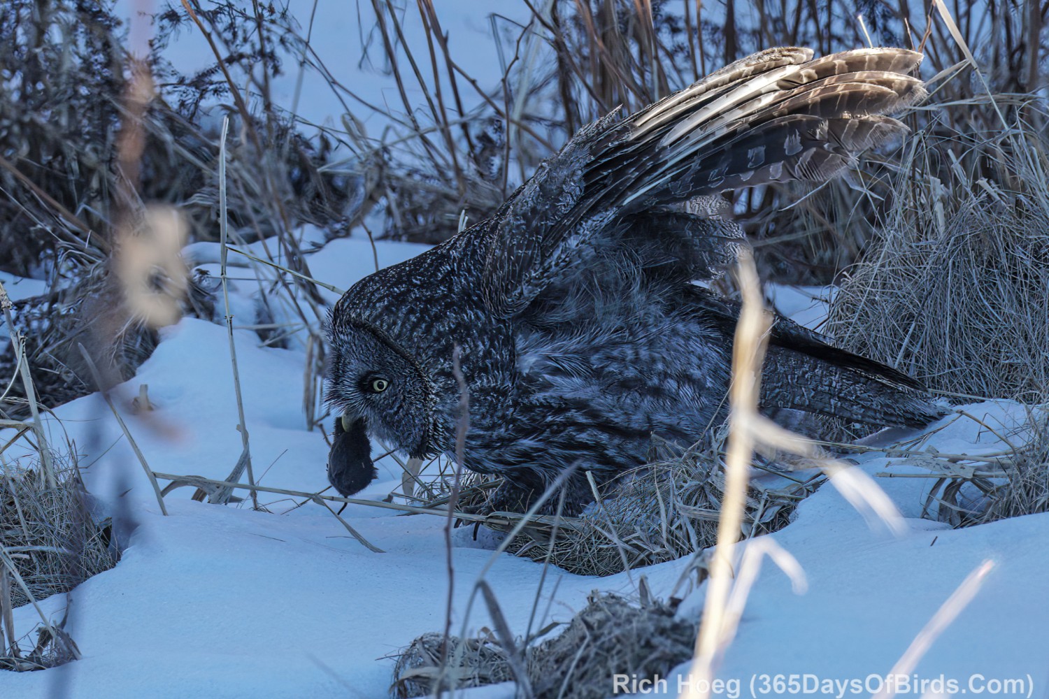
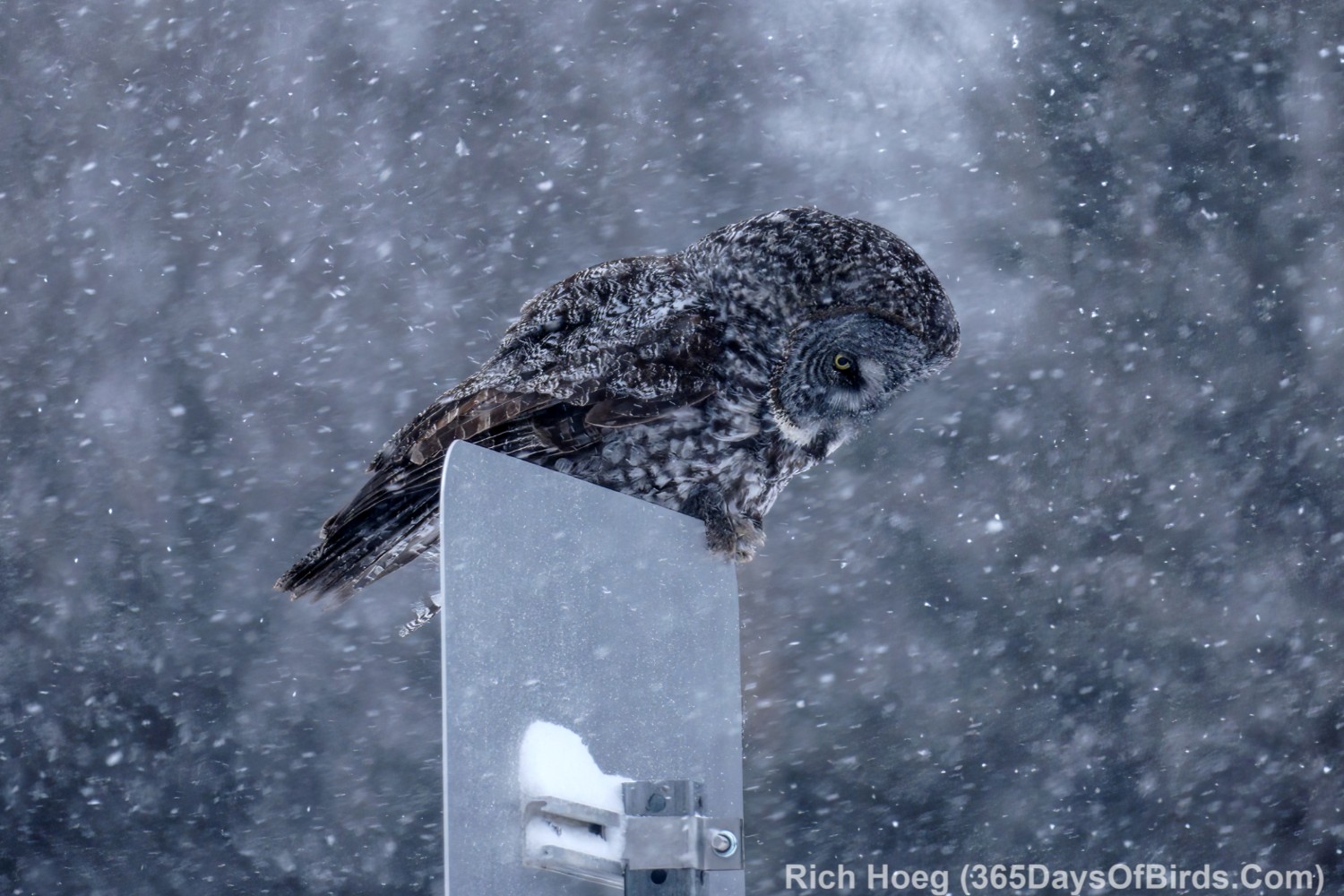
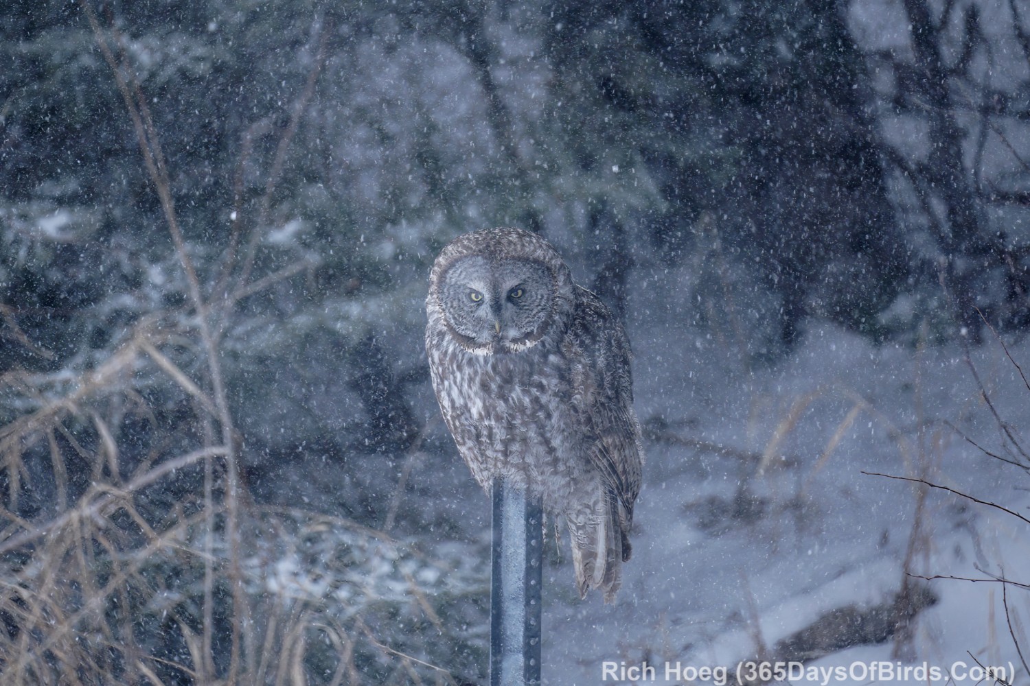
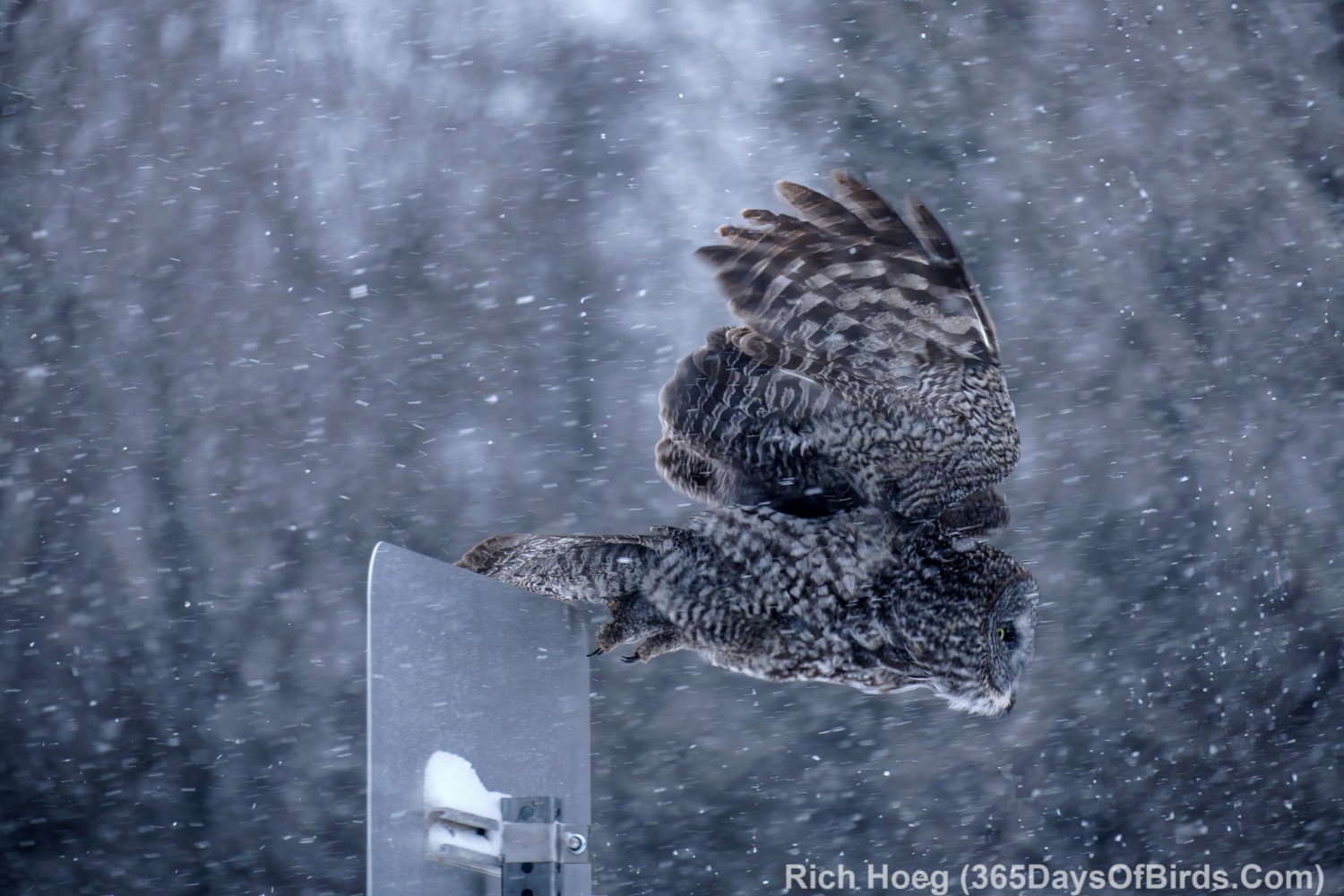
Gray Gray Owl Irruption … Hunting During an Intense Snowstorm
This was one of the more crazy birding adventures I ever took. I was sitting at home on Groundhog’s Day, and Punxsutawney Phil definitely was NOT seeing its shadow in northeastern Minnesota. Instead we had almost blizzard like conditions with HUGE winds off Lake Superior. Who would go birding during such kind of weather? Me! Only 8 miles from my house on the Two Harbors Expressway, during the middle of the storm, I found many owls hunting from sign posts. Only starvation would make an owl hunt during the day AND a horrible snow storm.
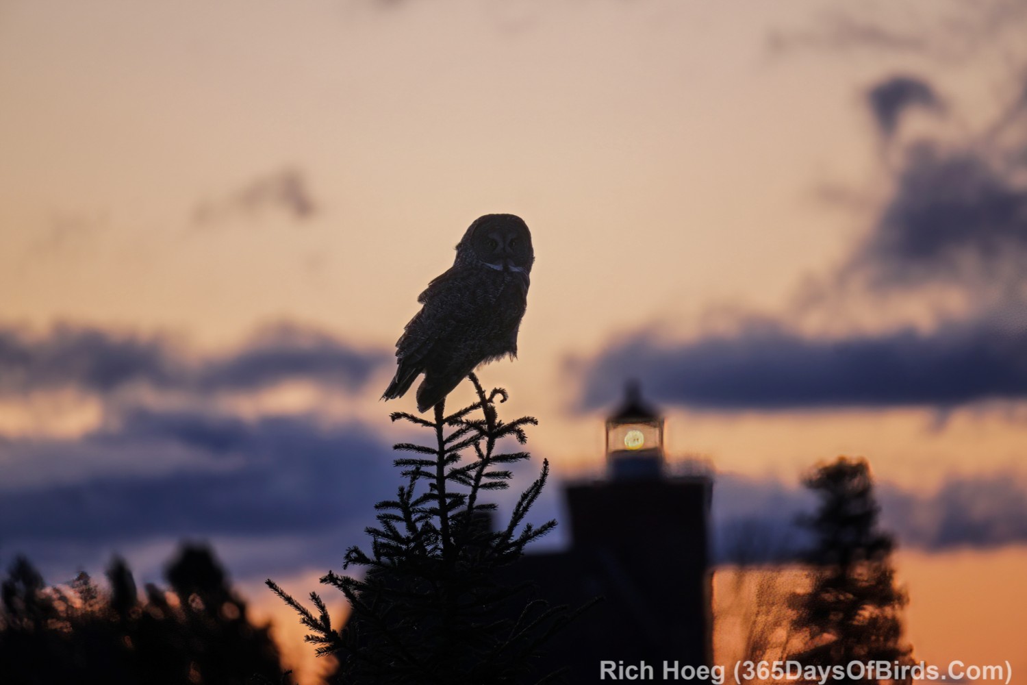
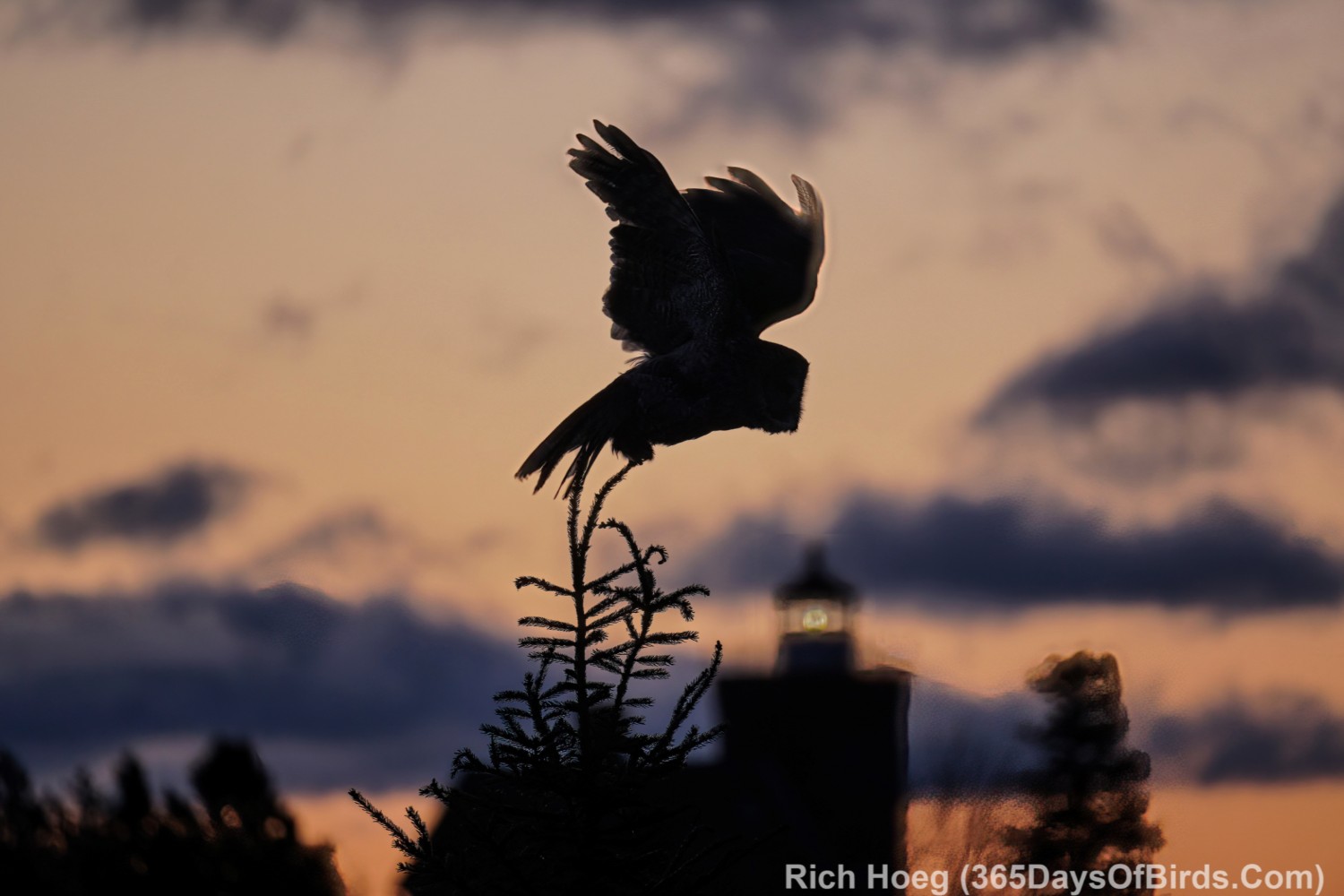
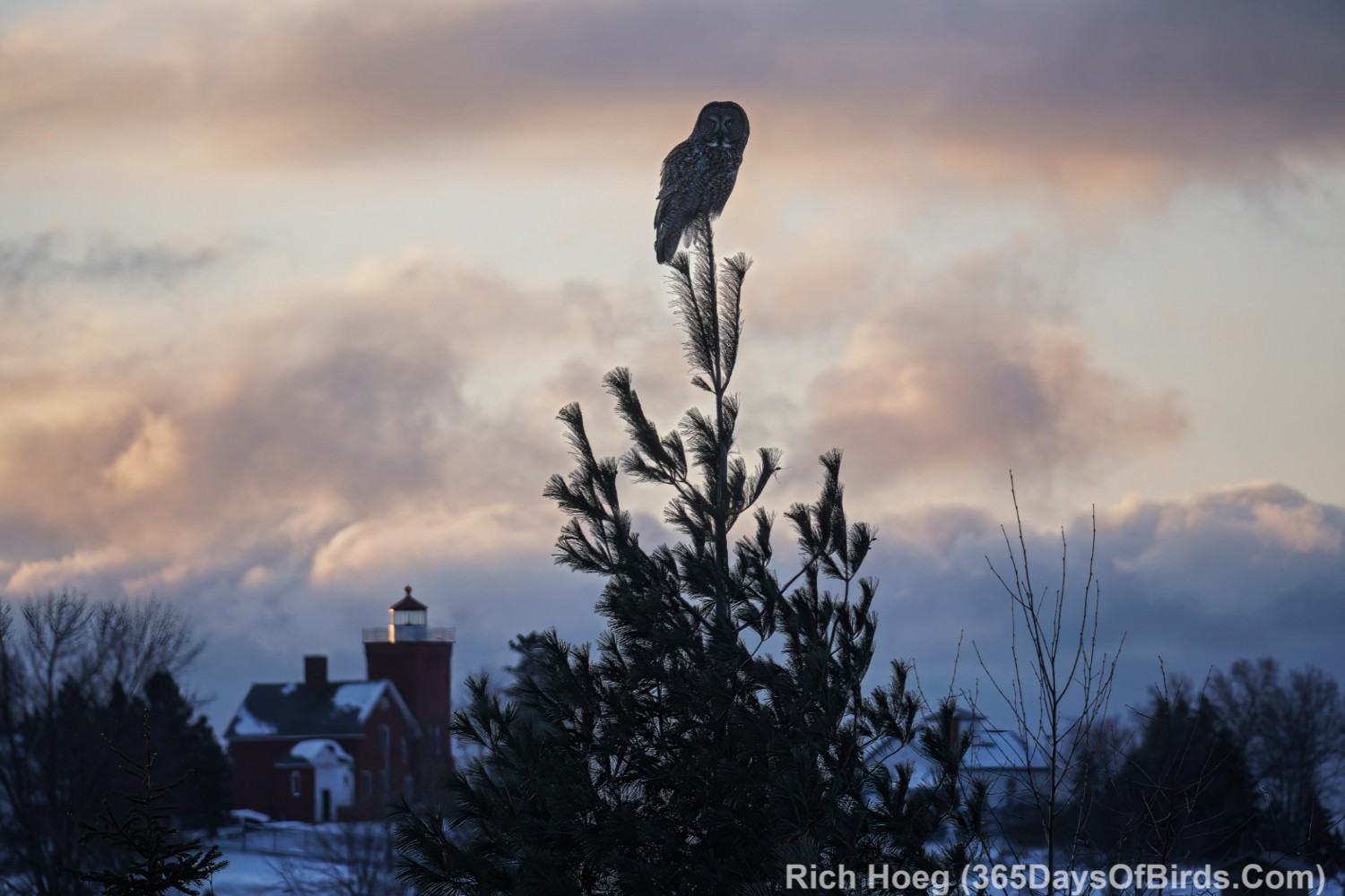
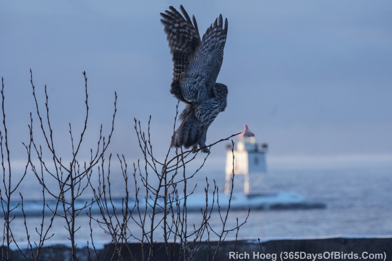
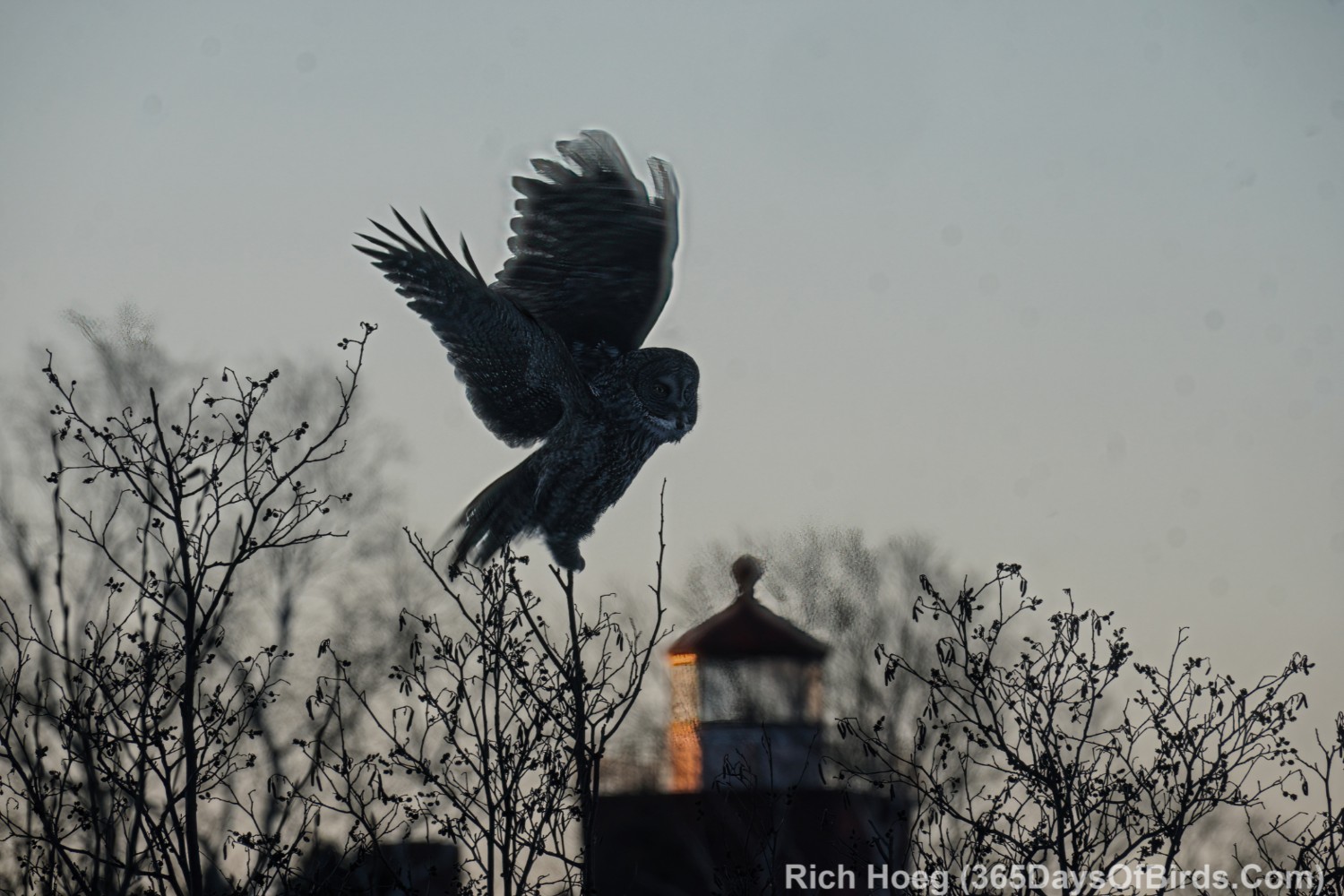
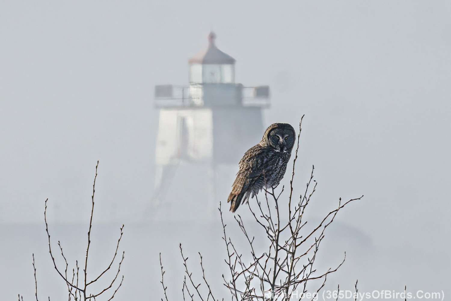
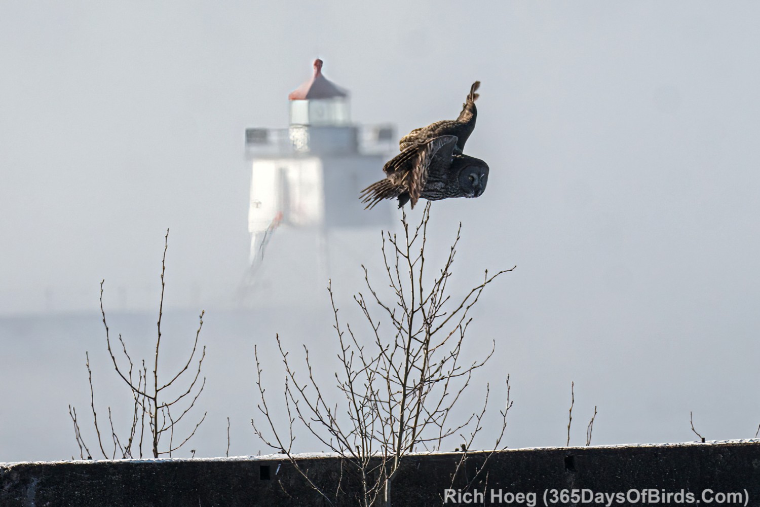
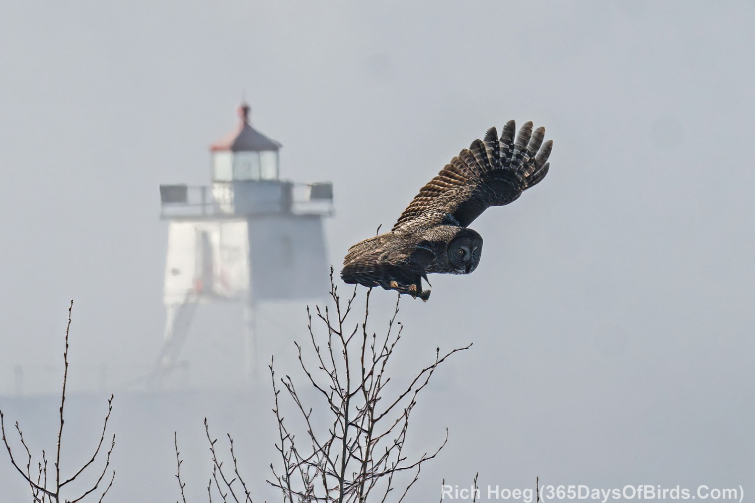
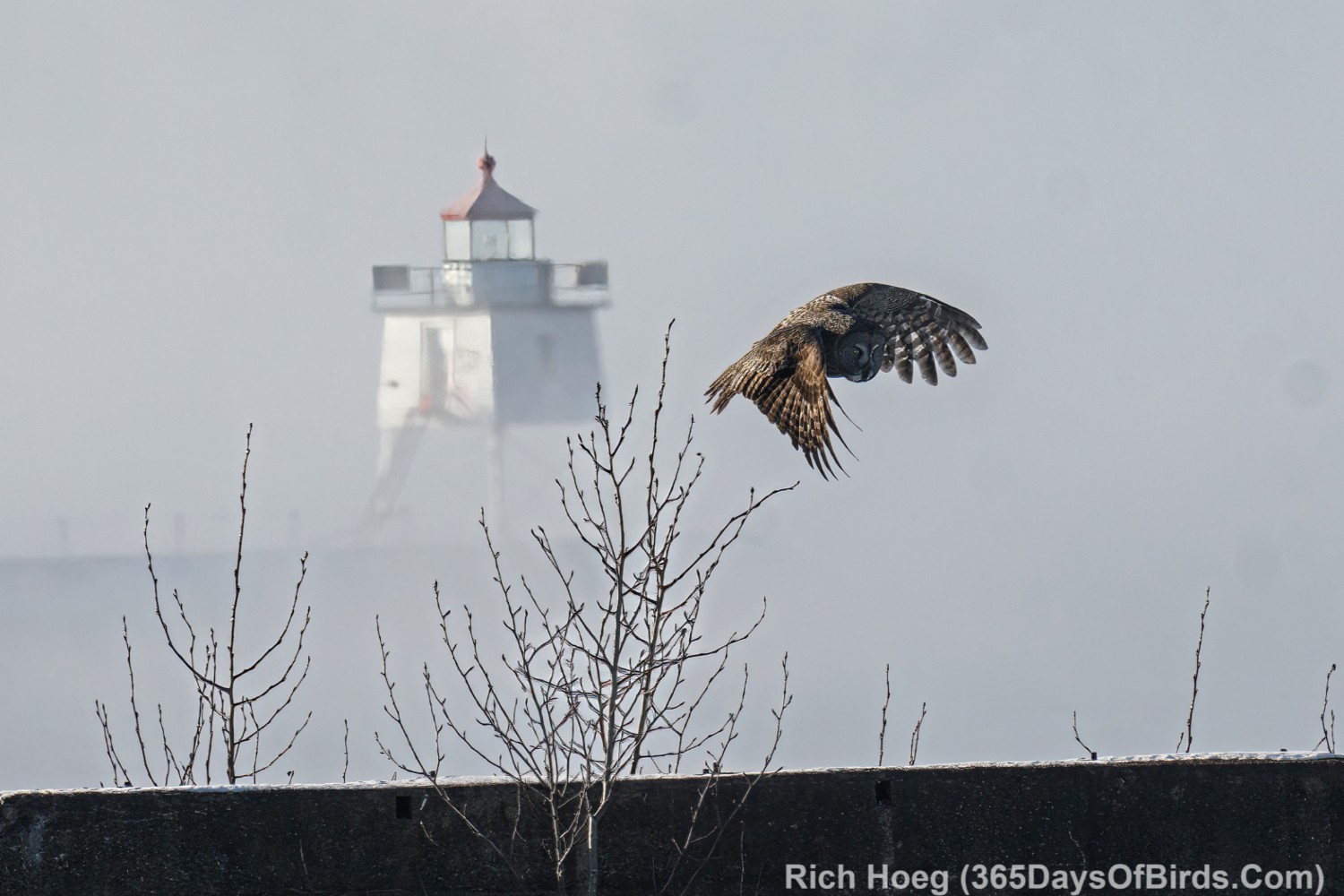
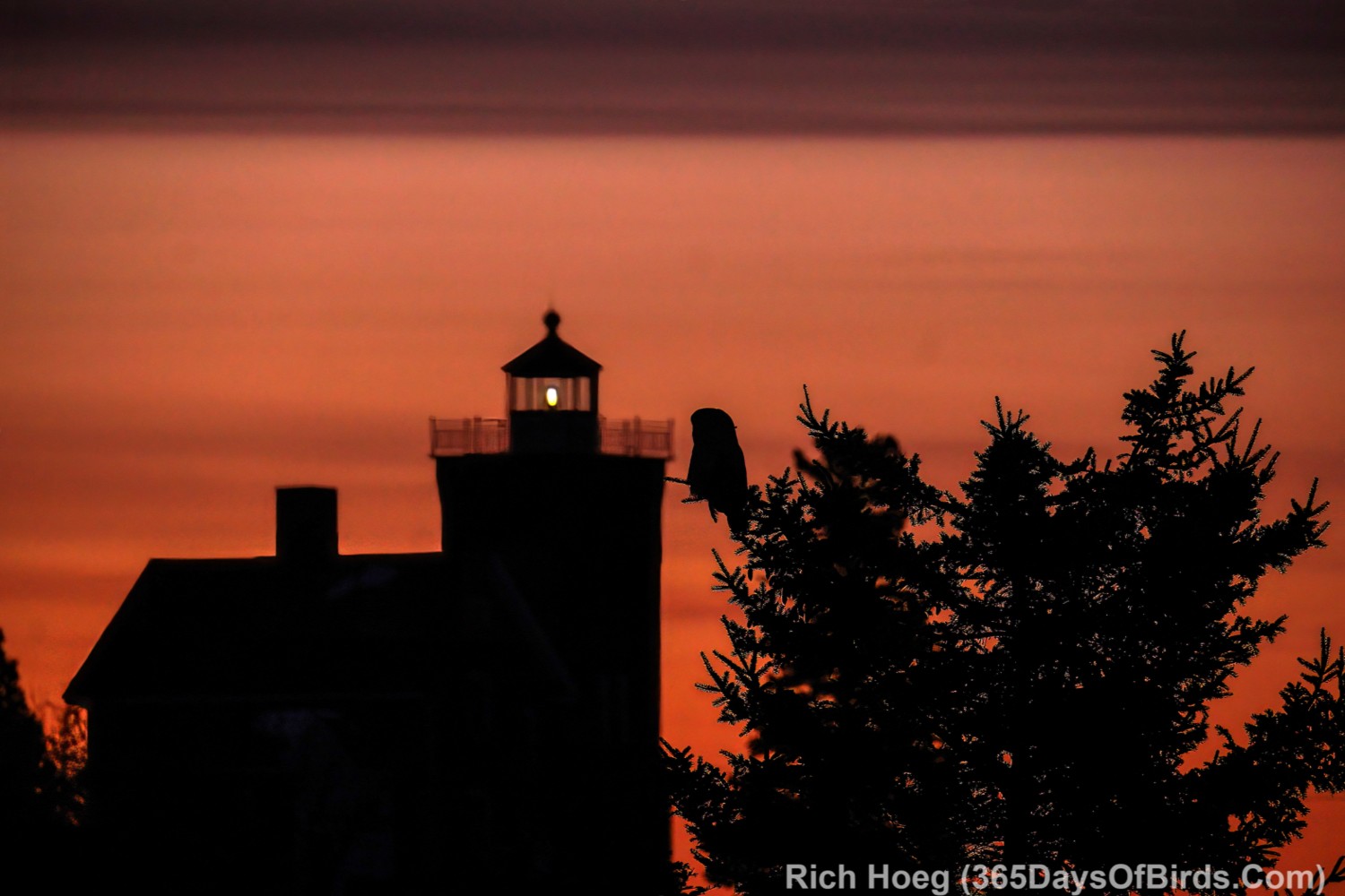
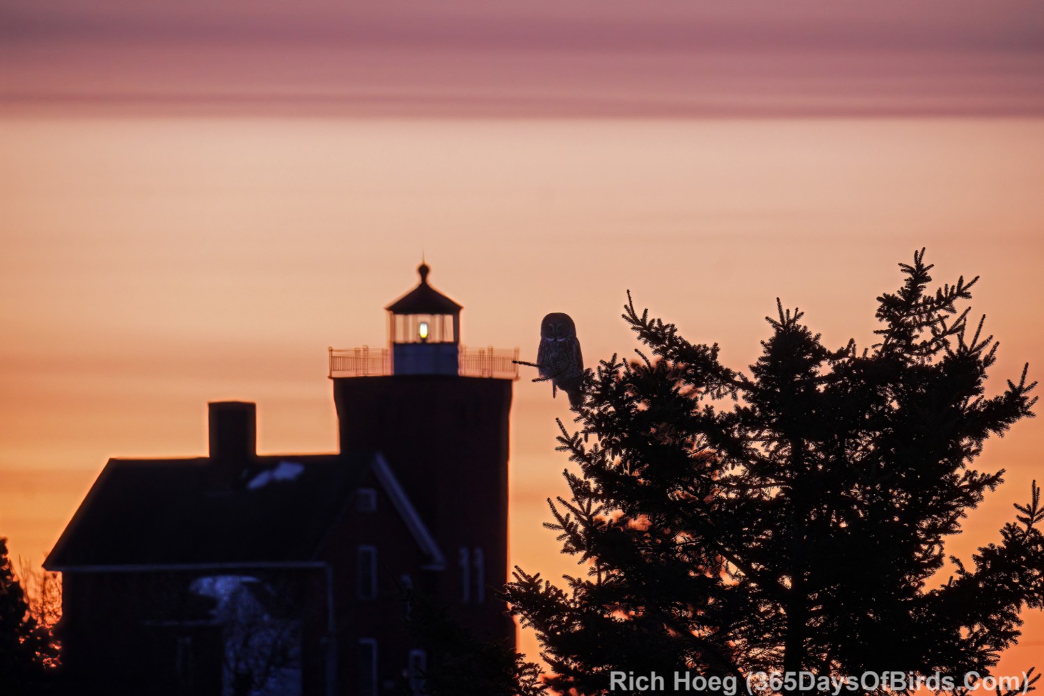
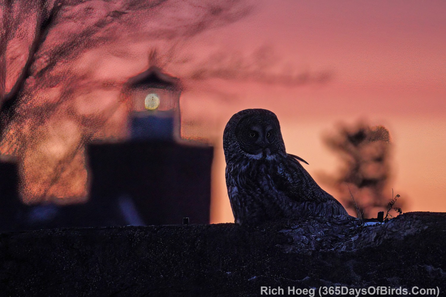
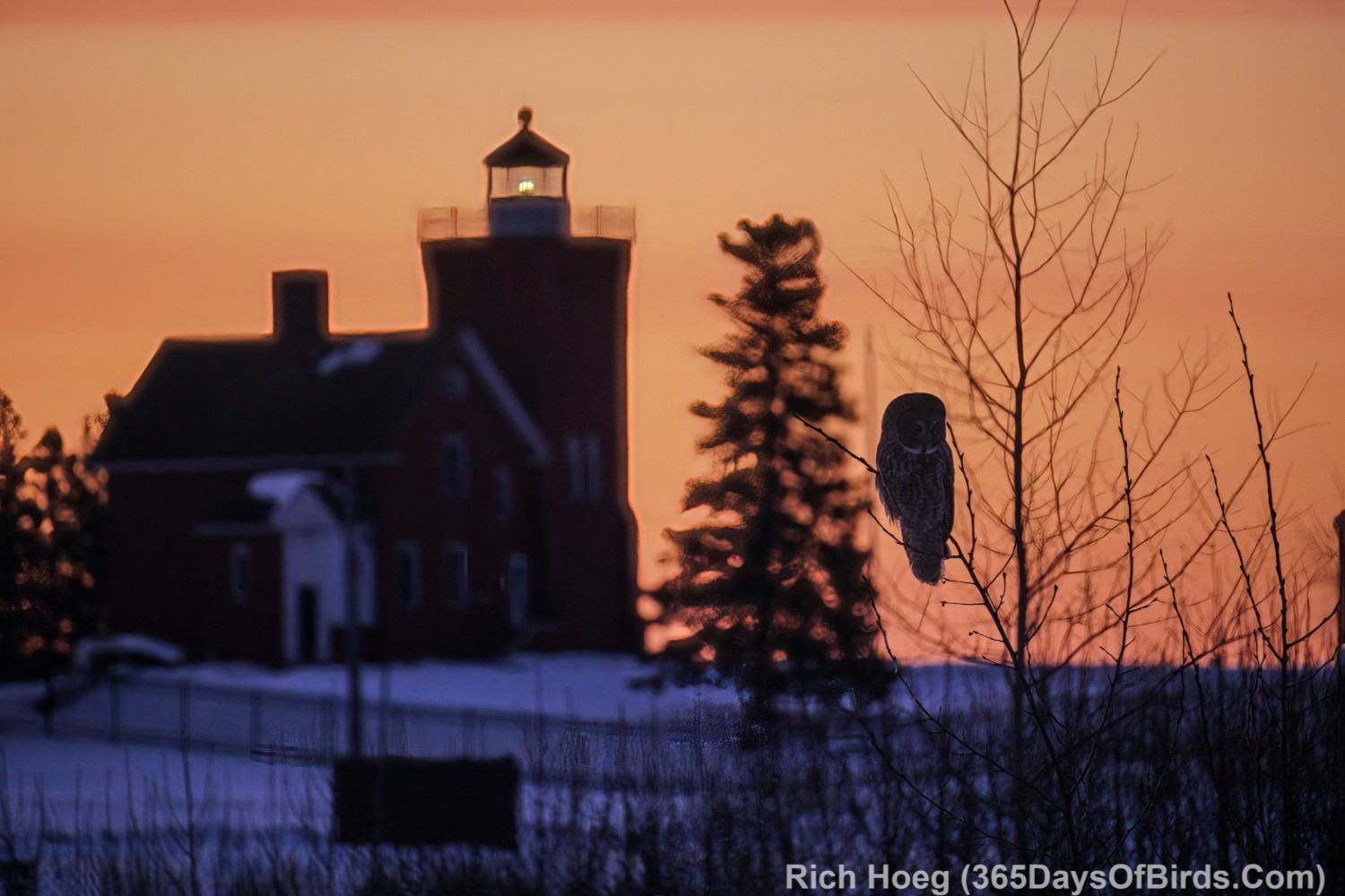
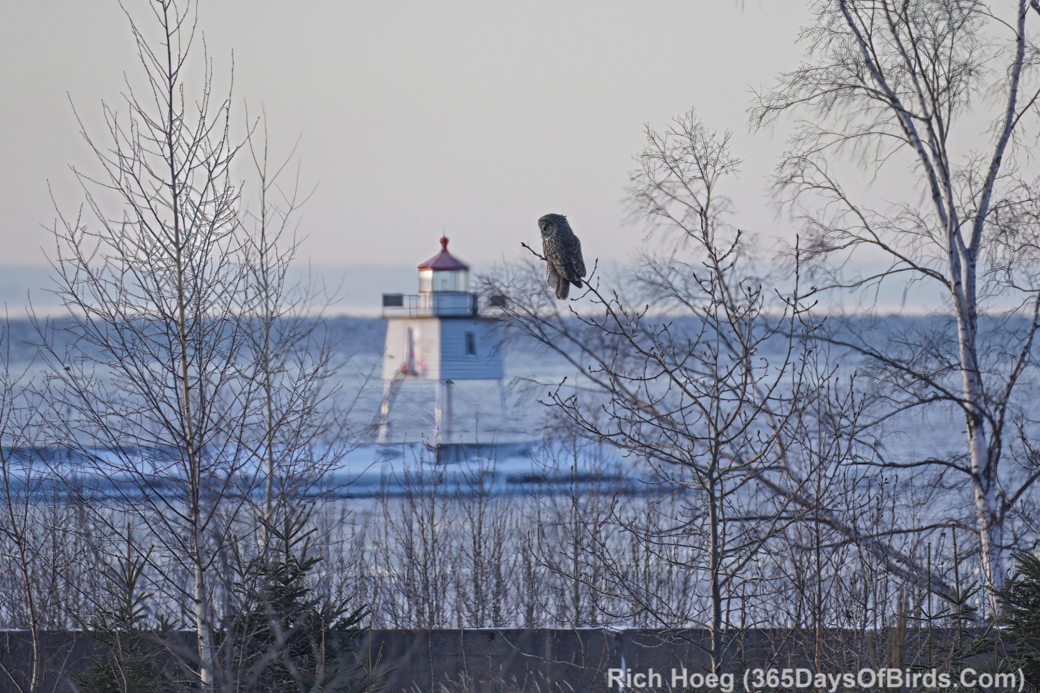
Great Gray Owl Irruption … Two Harbors Lighthouse Scenes
For almost one month up to four Great Gray Owls would hunt at the Two Harbors waterfront. Eventually the word got out, and later in the day the crowds would get crazy. If I decided to visit Two Harbors (20 minutes from my home), I would normally arrive about 40 minutes before sunrise, and leave shortly after sunup. In this way I felt I captured the most dramatic light from pre-dawn to the 20 minutes post sunrise. Most people arrived a bit after sunrise or later. Thus, my experiences were mainly crowd free!