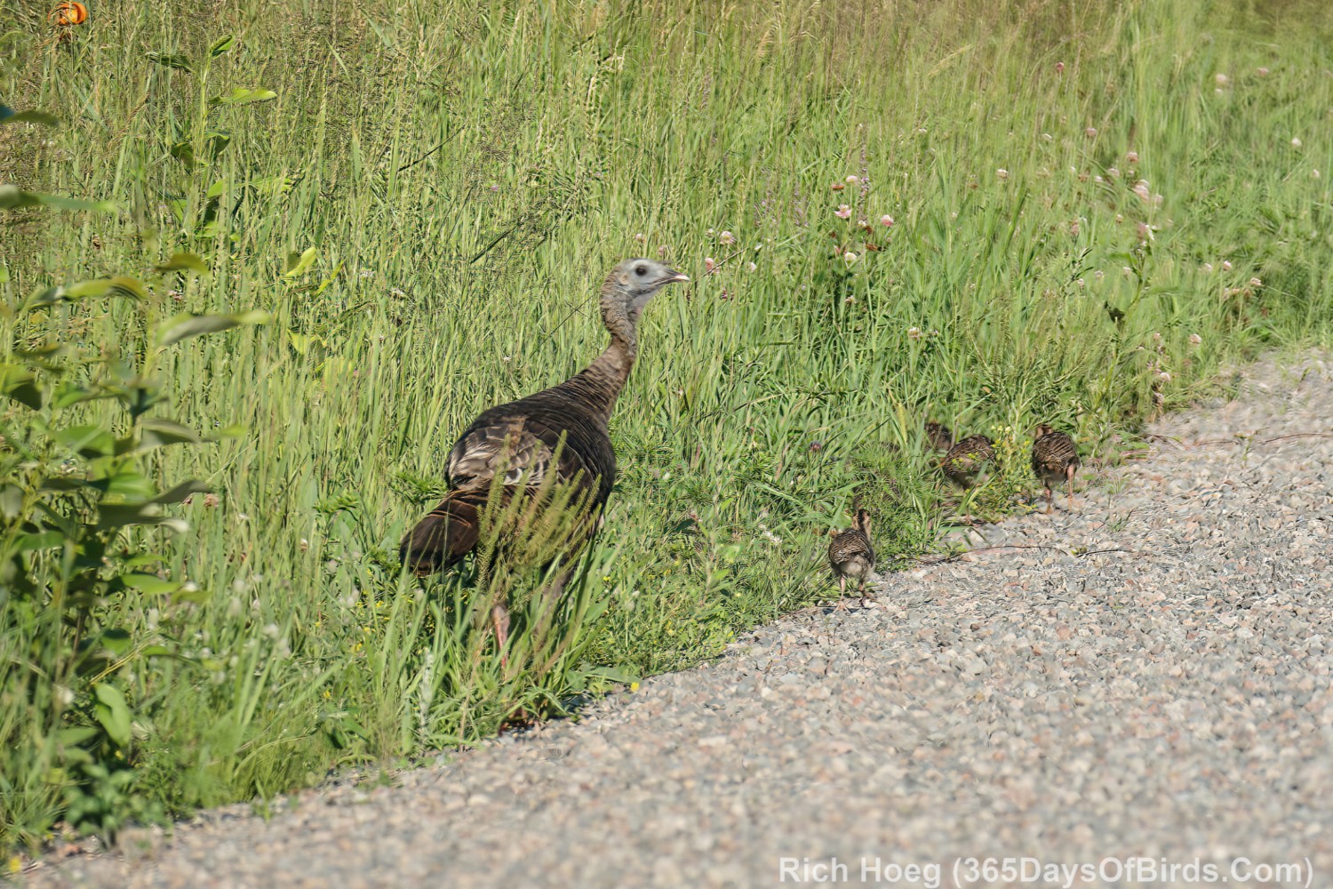
I have been birding the Canosia Wildlife Preserve and South Bog over the past few days. While I had hoped to find just fledged Northern Harriers, the birds that have appeared have been the “Tall Ones”! This Great Blue Heron likes to hang out on the beaver mound in the small lake on West Lizmore near the rookery. I have seen it two days in a row, and watched it for almost an hour each day.


Another fun haunt of mine is the Culver, Minnesota area, which I call the “south bog”. There is a nice mix of bog, boreal forest and farms, and it is closer to my home in Duluth than Sax-Zim. Here are three GSP Google Maps links:
- Where I turn off Highway #7 (Burnett Road intersection)
- The Culver Volunteer Volunteer Fire Department (in the middle of my birding drive)
- Where I turn around (Brookston Way / Eklund Way intersection)
Map of Birding Area (press or click upon to maximize)

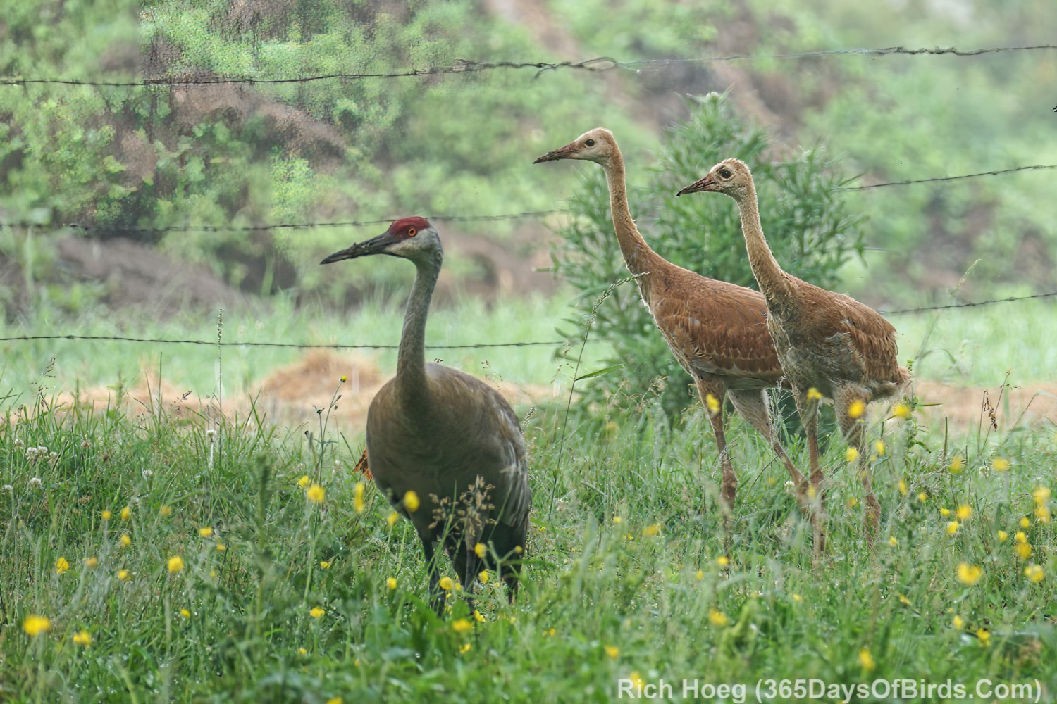
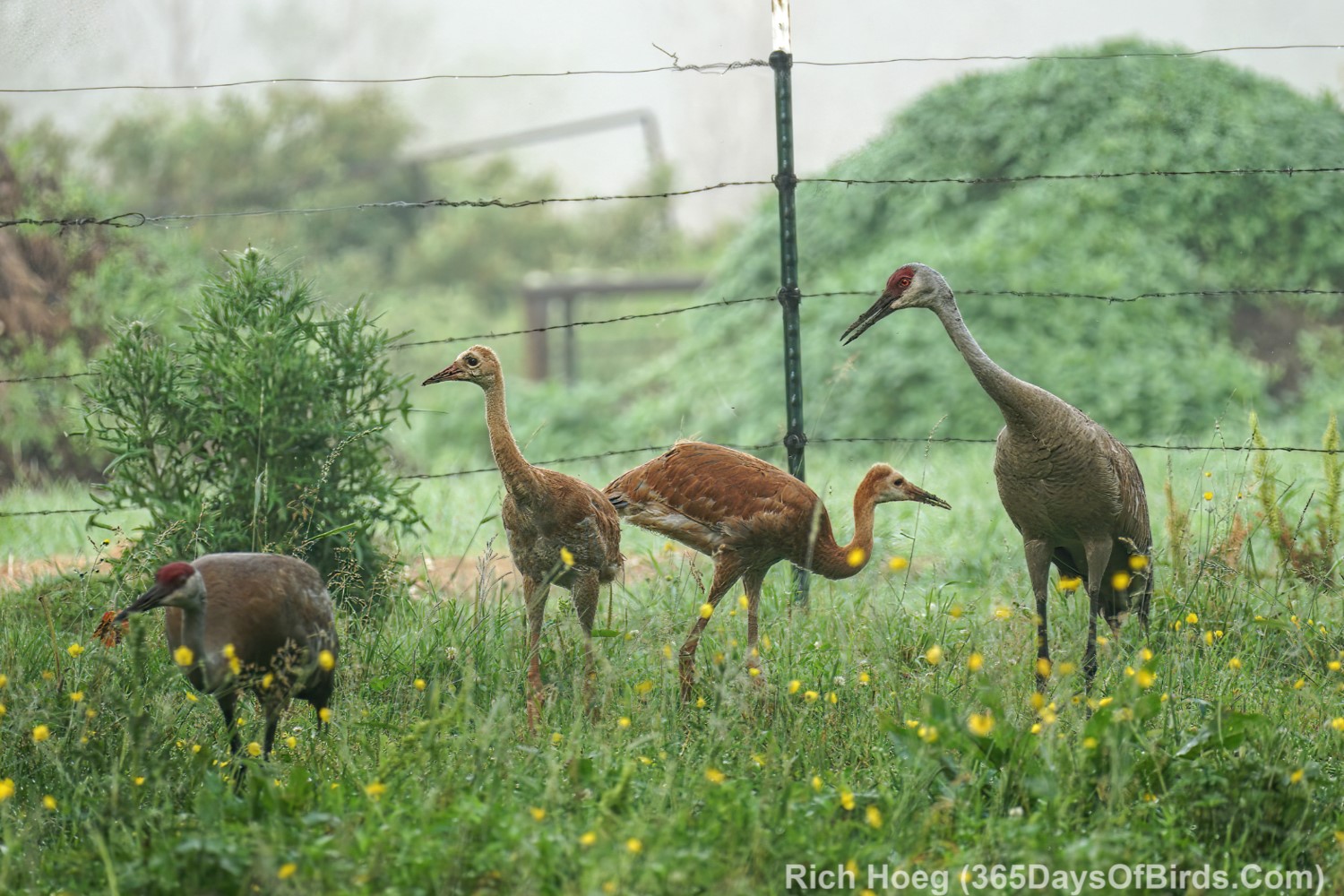
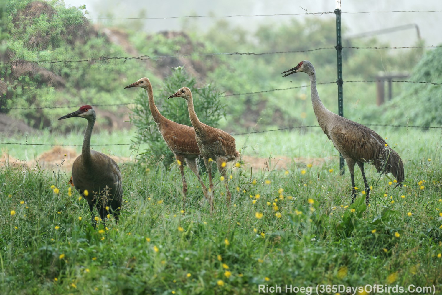
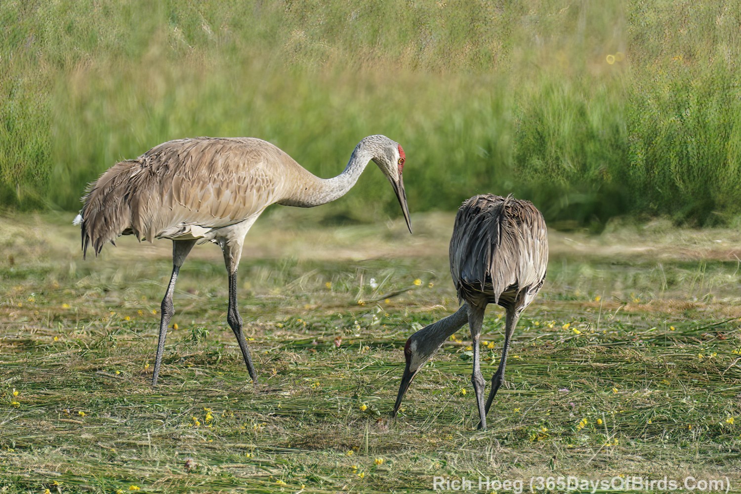
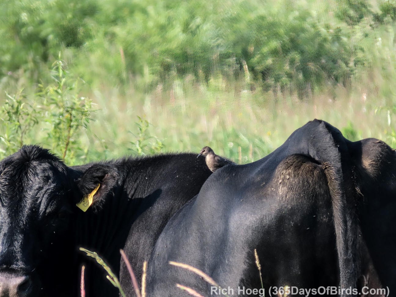
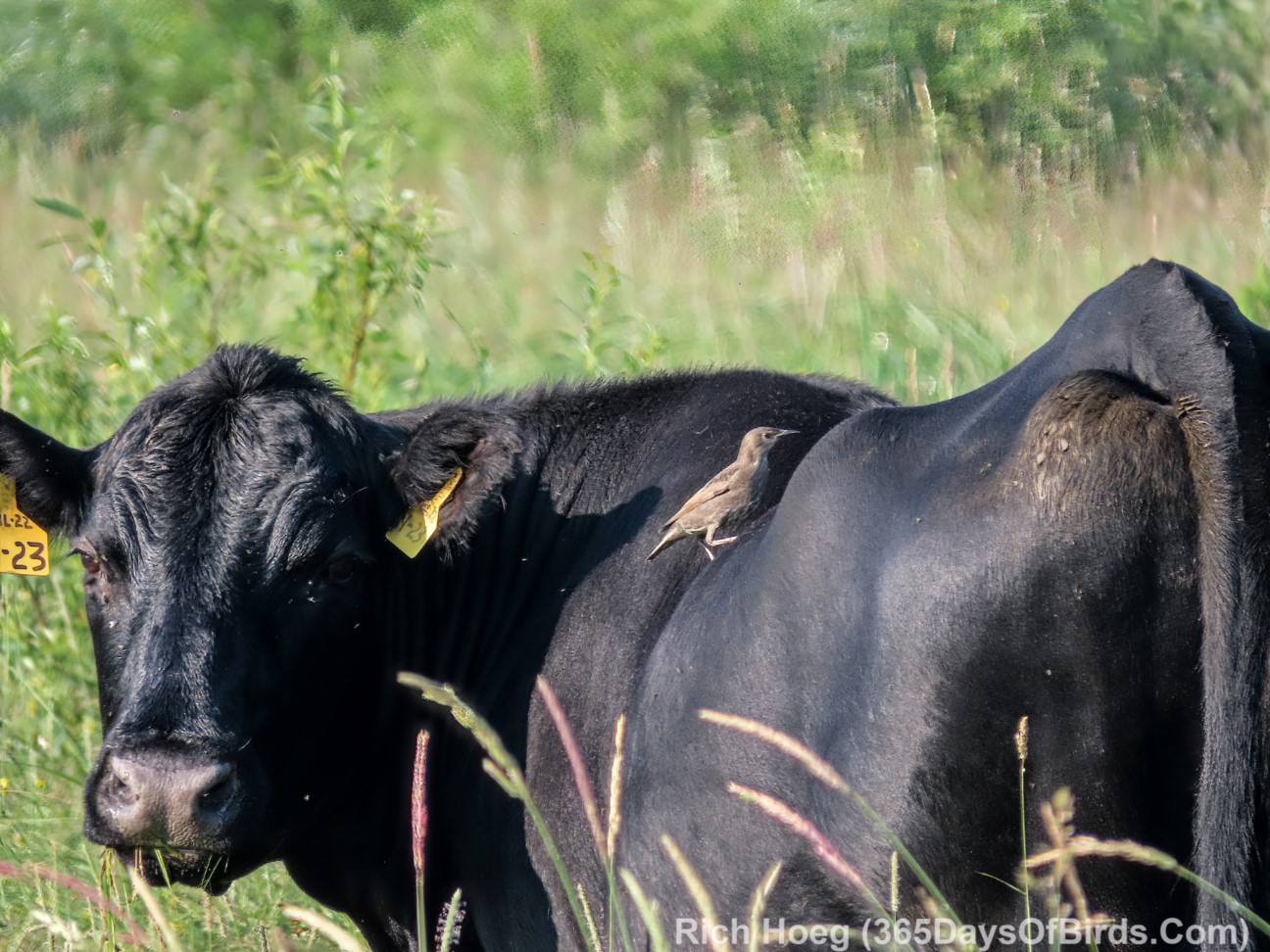
Most of this birding drive is along dirt roads. I LOVE the farm at the end of my drive (where I turn around. This Sandhill Crane was standing on a hay mound at the farm. I also saw a Broad-Winged Hawk catch a snake at the Artichoke River (GPS Link).