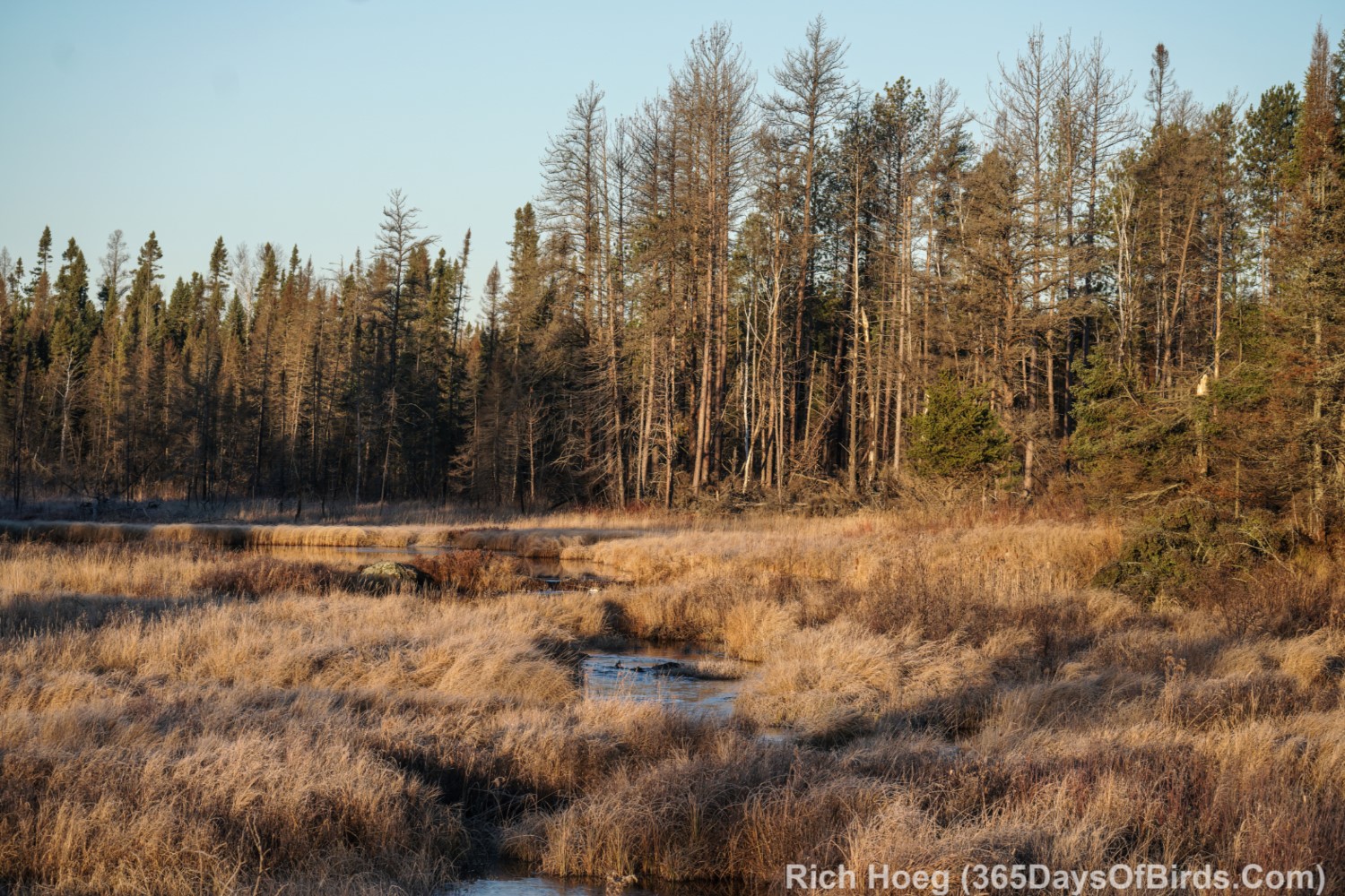
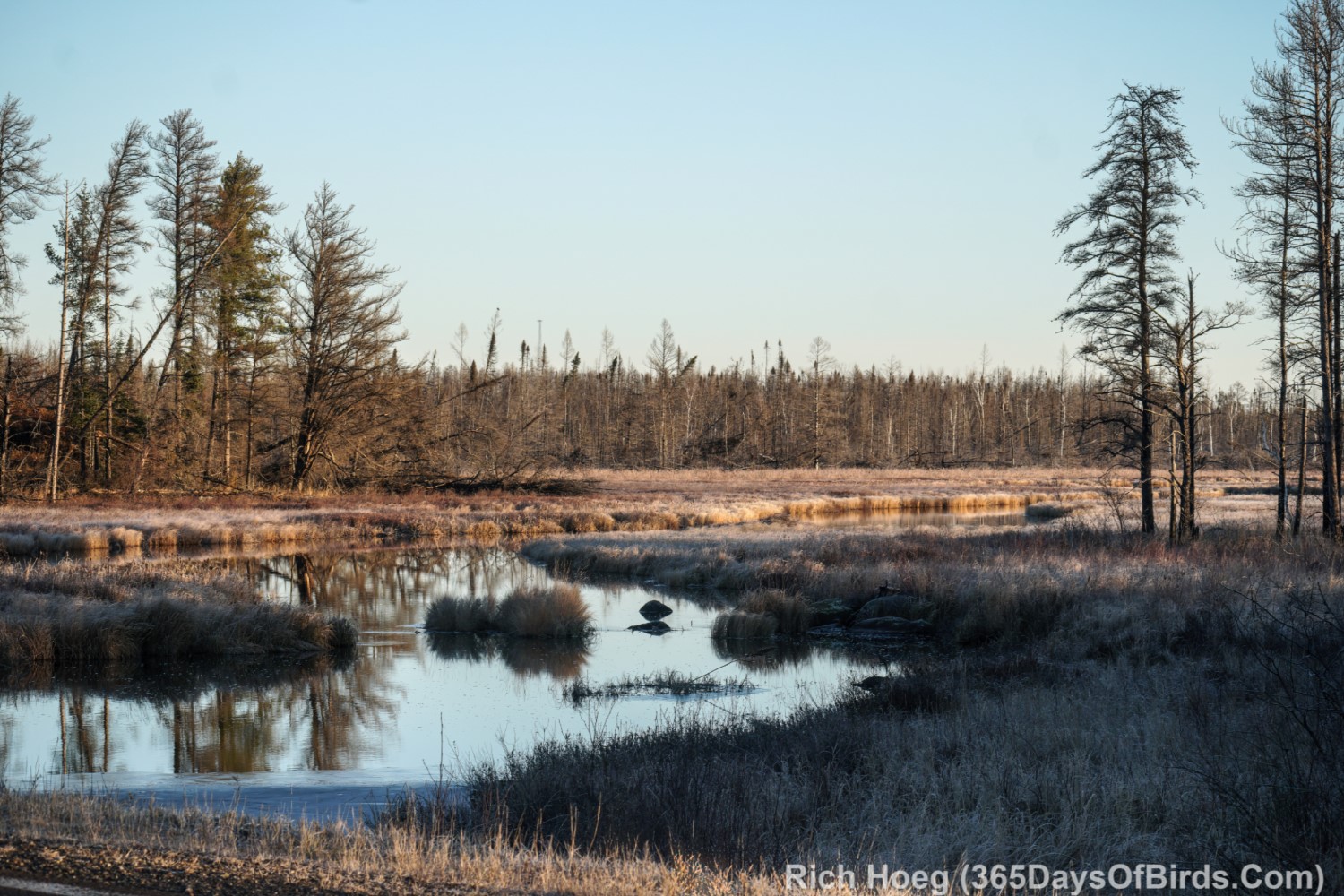
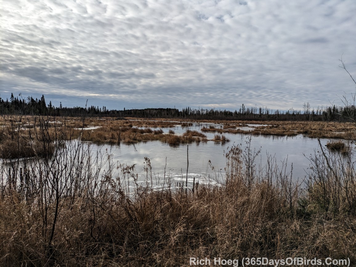
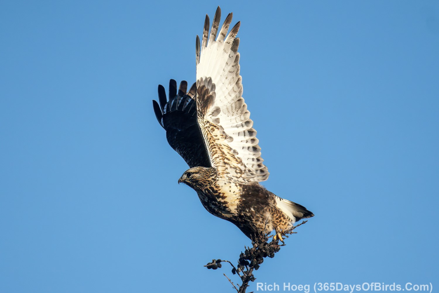
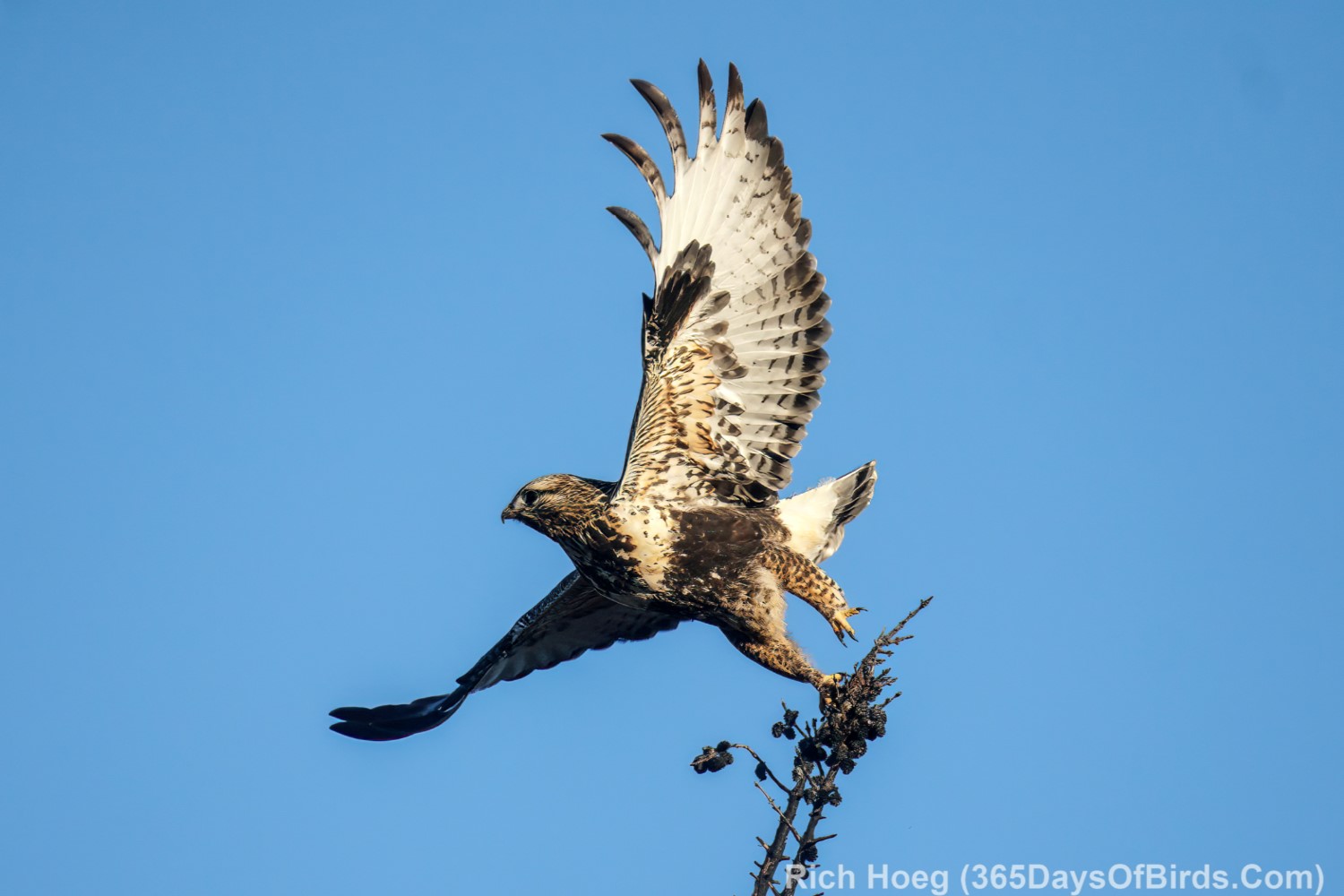
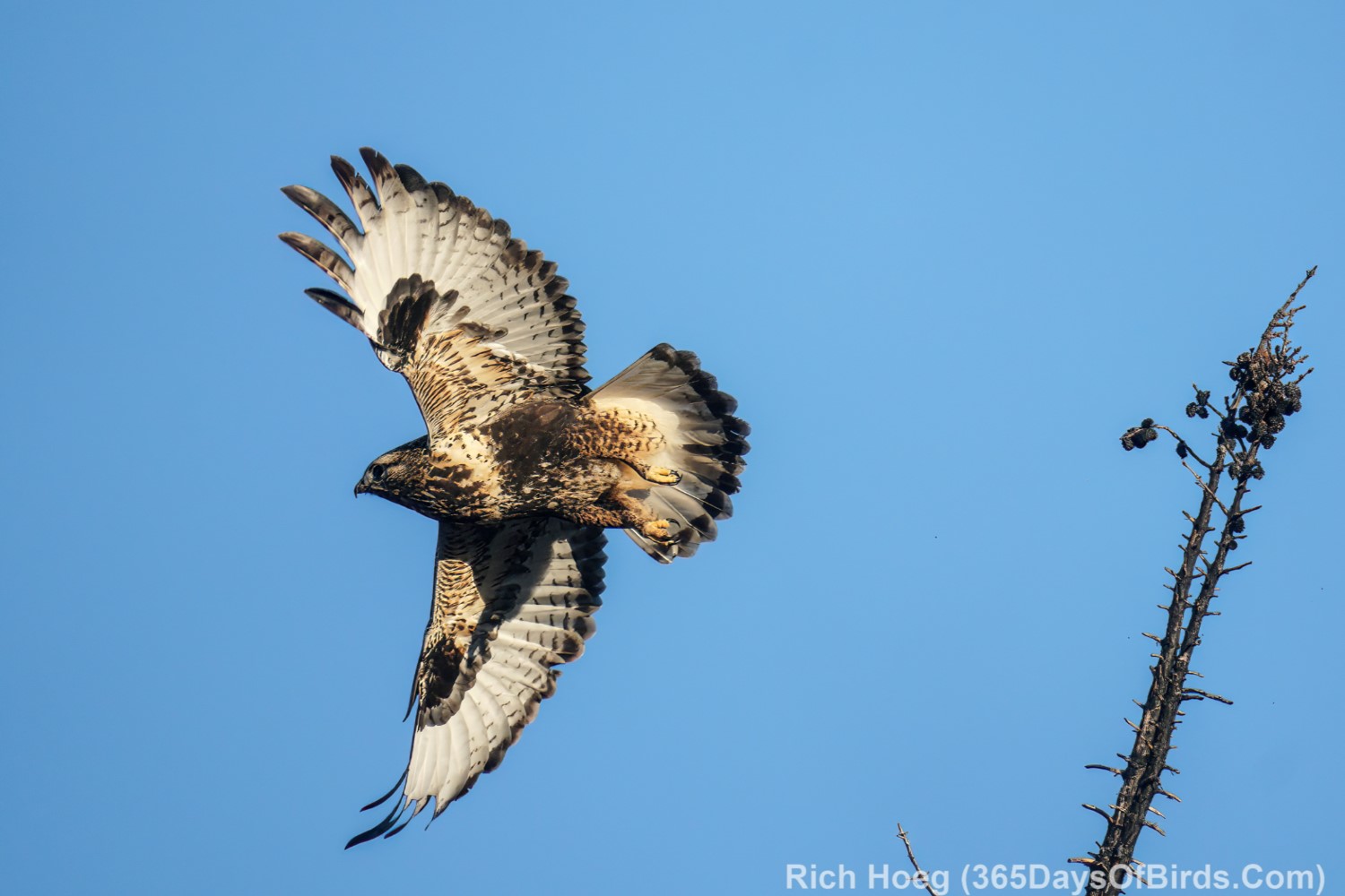
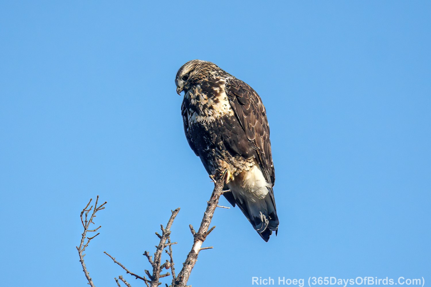
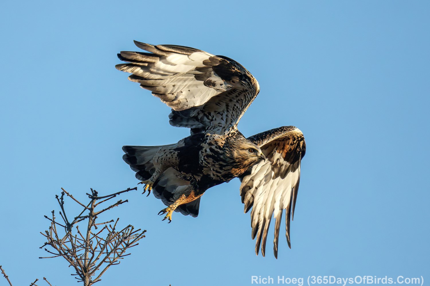
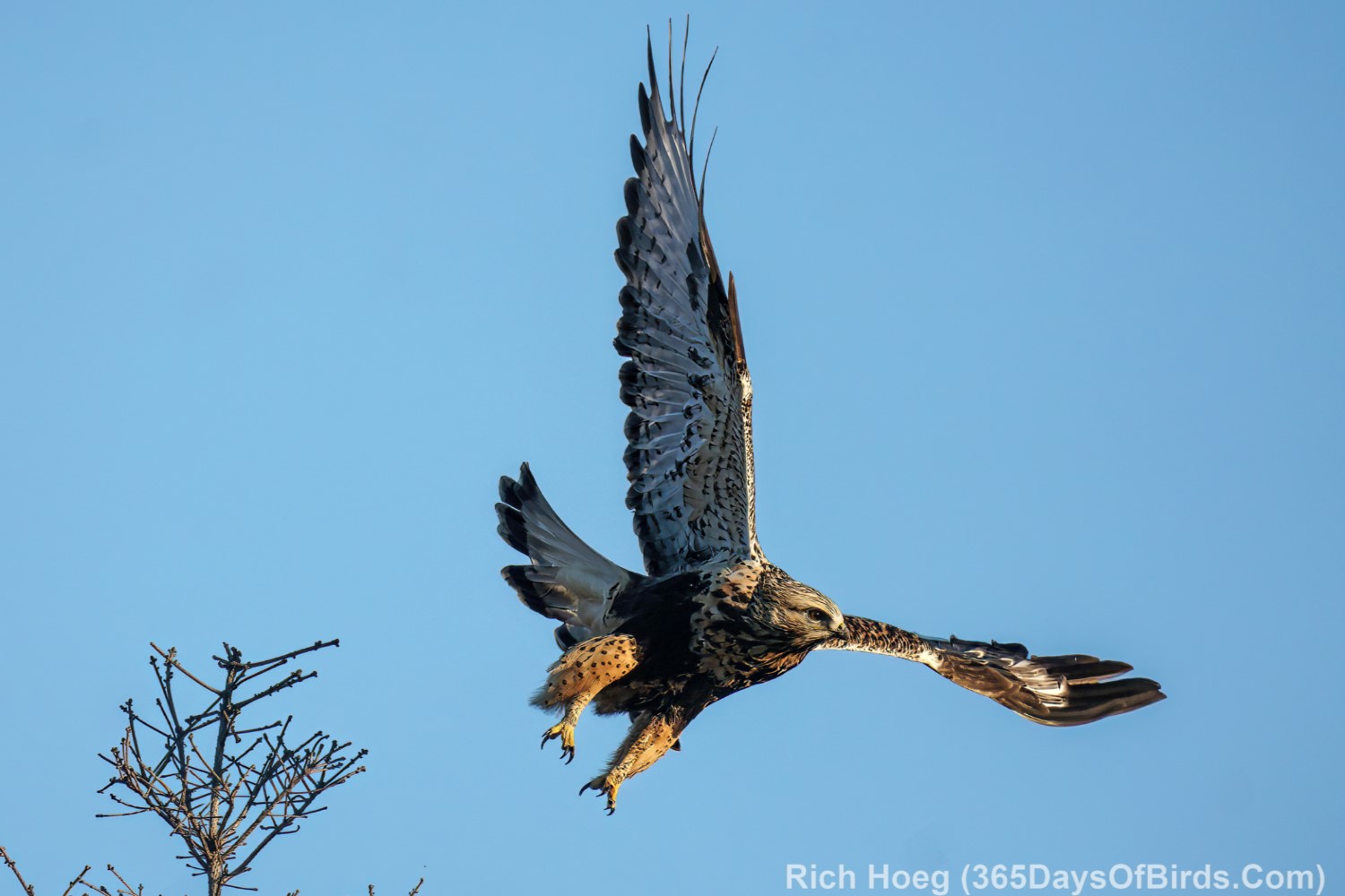
Over the past week I have been having a great time birding the Greenwood Forest Fire Burn Area. Although it has only been two years since the wildfire, nature is already recovering. While beautiful pine covered vistas are a long way in the future, a wildfire gives rebirth to the forest, and the local wildlife understands this fact. Fire is necessary for a healthy boreal forest ecosystem. The burn area is 42 miles north via Lake County Hwy #2 of Two Harbors, Minnesota. The road has very little traffic, but MAKE certain you pull way off the highway when stopping to bird (onto the grassy area). Logging trucks drive this route regularly. I personally never stop near highway curves or bends in the road. As always I like to bird right at sunrise. Most logging trucks are heading south as I drive north with the sun behind me.
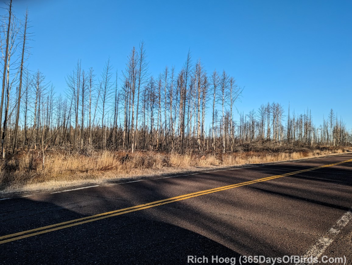
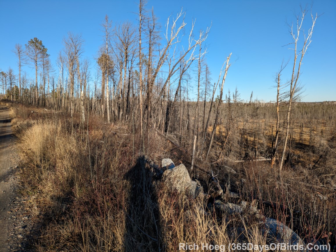
A typical roadside view from the Burn Area 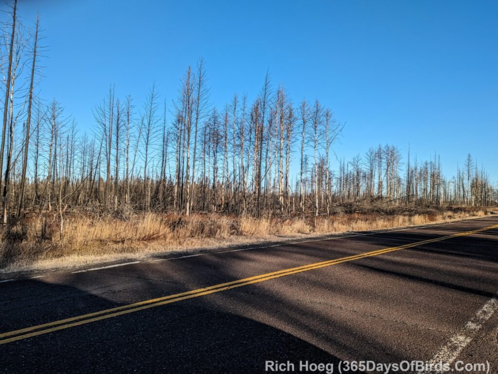
My favorite area for birding starts at the Sand River highway pullout (a great spot at any time of year to enjoy the Northern Lights) north to the intersection with Minnesota State Highway 1. However, I really become attentive to birds once I reach Greenwood Creek which is a few miles south of Sand River. Use the Google Maps links provided to better understand the locations of reviewed areas, but please realize any of the forest bogs as you drive north from Forest Highway 11 (where Lake Cty. 2 “jogs” and crosses over a RR Bridge) could hold a Great Gray Owl, or other cool Boreal birds.
Before the fire this used to be the prime area to see Spruce Grouse in the winter, but the burn has changed everything. A quick glance almost anywhere along this section of road proves there are lots of Black Backed Woodpeckers stripping bark off the burned trees in search of food, but no grouse. Blackbacks love burn areas, and hopefully Northern Hawk Owls will become a resident (these owls also love burn areas). Spruce grouse are still around, but a bit south of this burned out area (see later in the post).
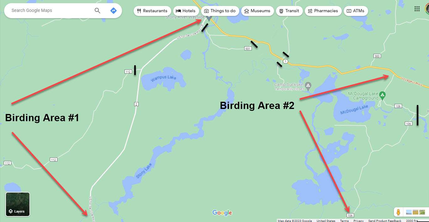
Greenwood Forest Fire Birding Area Overview: An annotated map I made of the area is provided below. The map on its southern edge starts at the Sand River Highway Pullout.
- Birding Area #1 is my favorite and covers Lake County #2 from Sand River to Mn. Highway #1.
- Birding Area #2 covers the McDougal Lake region (more burned out land) which is only 4 miles along Minnesota State Highway 1 from where Lake County 2 ends. Although Area #2 has not been as successful for me, it has some nice back roads for birding.
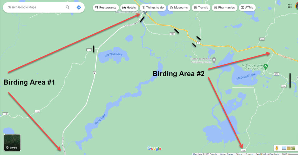
Google Maps Links to Birding Areas & Descriptions (south to north)
- Upland Trail Forest Road: A nice forest road that is on the west side of Lake Cty. 2 across from Whyte Road. 1.7 miles in from Lake County 2 is a very nice, large, beaver pond. Worth birding. Driving beyond this point may be “iffy” during wet conditions.
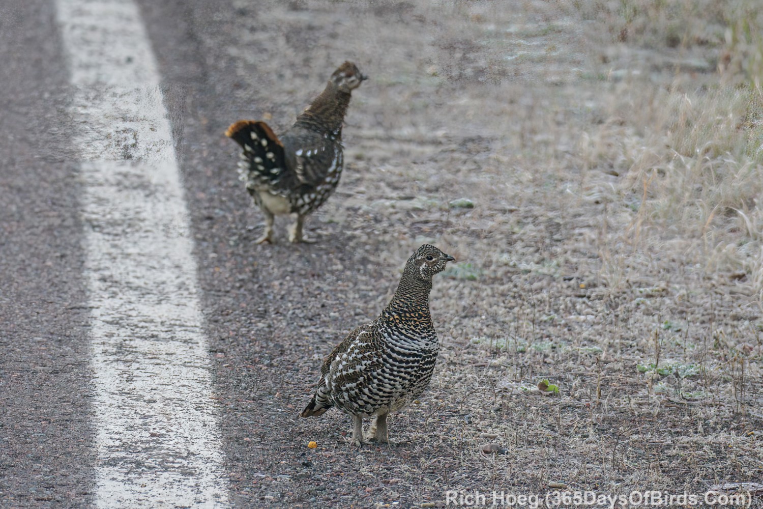
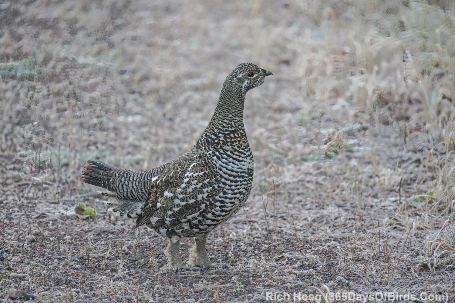
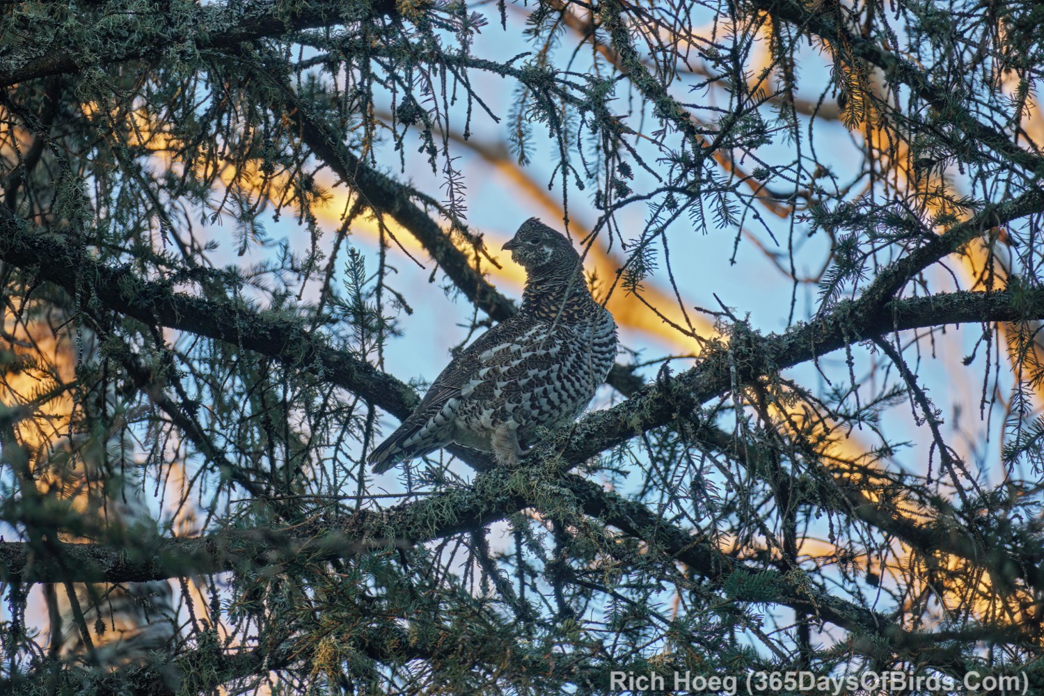
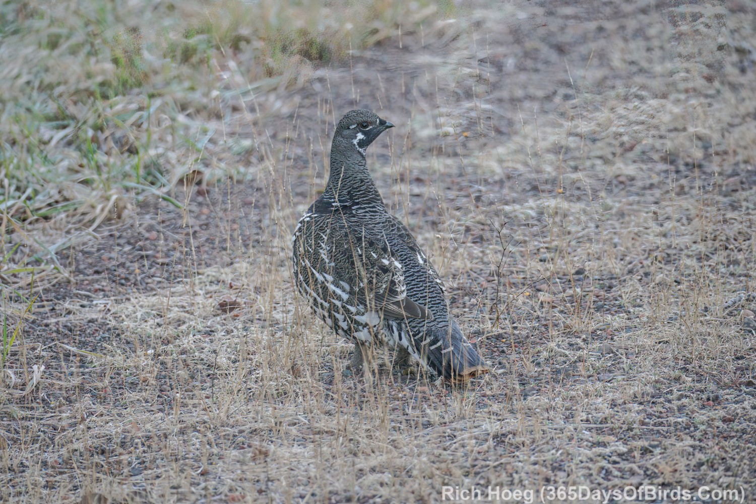
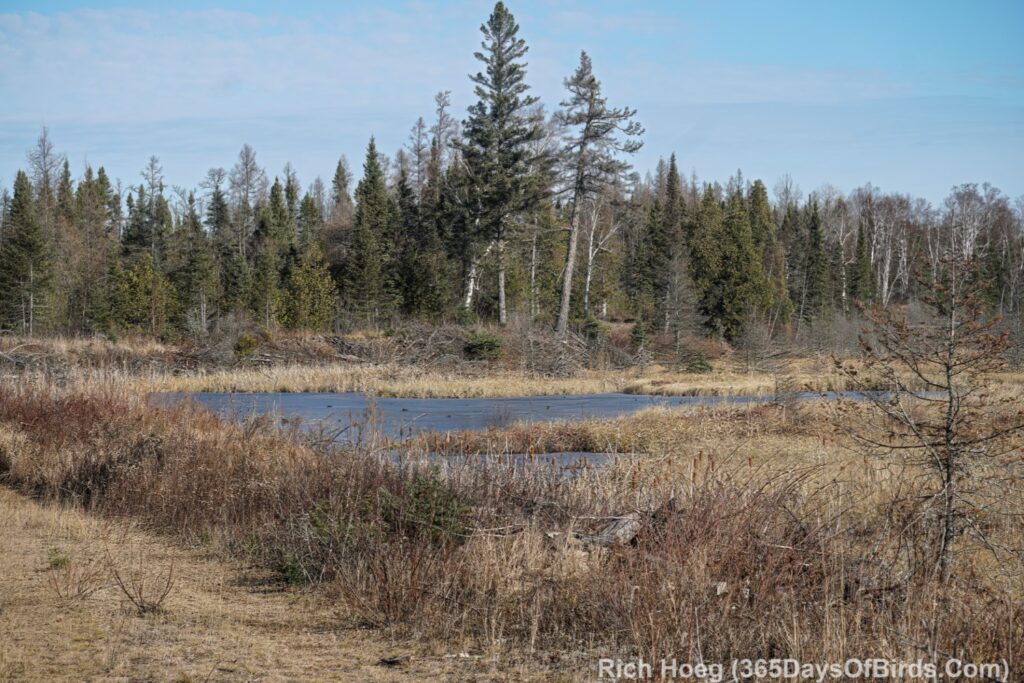
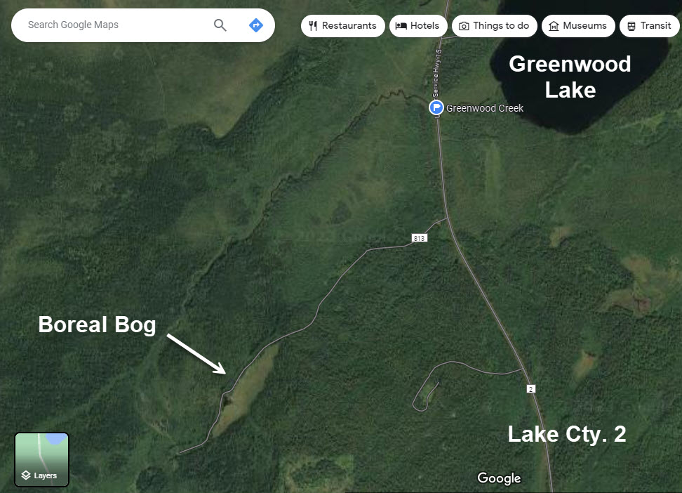
- Greenwood Creek: While the Sand River area north to Hwy 1 used to one of the best locations to find Spruce Grouse, this is now grouse central. I have seen upwards of 20 grouse at this location north past Greenwood Lake, but only right after sunrise in the Fall. 400 yards south of Greenwood Creek is a small backroad that is on the west side of Lake Cty. 2. It is a great birding area, and only a 3/4 mile hike will bring you to a phenomenal boreal bog. I hiked past the bog till I reached Greenwood Creek. Without tall boots I could not cross the stream. The water in November would not have been comfortable for wading across. Only 10 yards off Lake County 2 you will find a small parking area if you wish to take this hike.
- Abandoned Railroad Tracks / Power Line Cut: Once you drive north of this location, you are entering the burn area. At times everything will be burned out, but you also will find pockets of trees that survived.
- Sand River: There is a nice highway pullout here. I like to watch the Northern Lights from this location. From this point north to Mn. Hwy. 1 is almost 100% burned out.
- Jackpot ATV Trail: Right up near Hwy. 1. Prior description of the hike which is possible from this location. I think the trail is also drivable with a car. In the winter if this road / trail is plowed, ASSUME you will find active logging along this route. Remember, on a narrow forest snow covered dirt road, you have to back up upon meeting a logging truck. There is often NOT room to turn around.
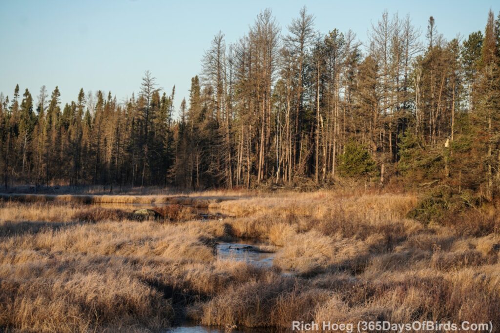
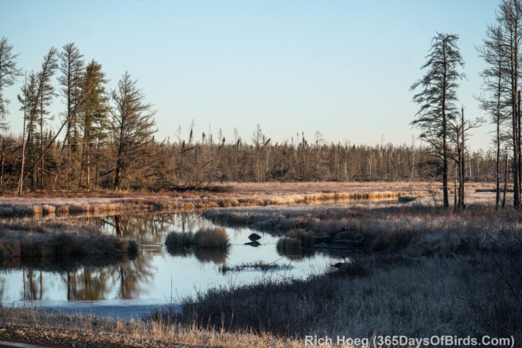
Here are some images taken from the Sand River Highway Pullout.
Sand River (both directions)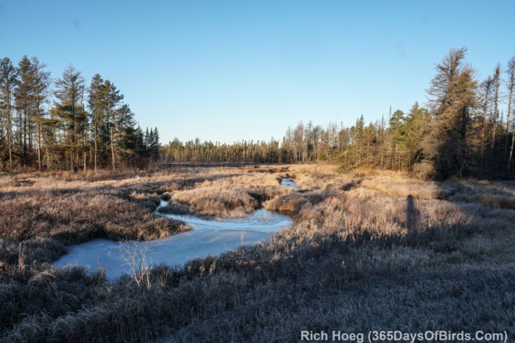
Birding Hikes in this Area
Jackpot ATV Trail / Dunka Lake Road (Google Maps link)
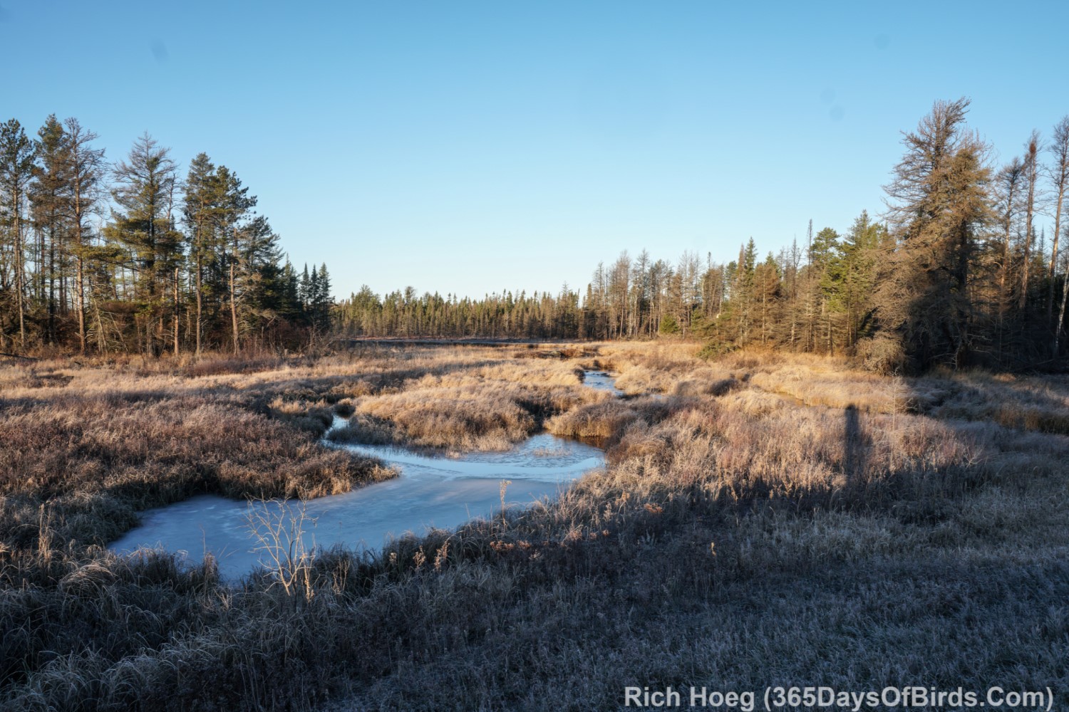
An amazing fact is there are completely burned out areas, and then large pockets of trees that somehow escaped the fire. One such island of living trees starts shortly in from the Jackpot ATV Trailhead (Dunka Lake Road … Google Maps Link). This location is a few hundred yards south of where Lake County #2 ends at Minnesota Highway 1. Two days ago I hiked Jackpot Trail. While the trail starts in the burn area, most of my hike was in non burned boreal forest and bog. Although trees had definitely burned along my hiking route, the taller white pines survived. At 1.75 miles I reached the burn area once more which is where I turned around. One reason for hiking is I had not been on the trail since before the fire. I don’t like to take my car on unknown trails, but I could have easily driven my Subaru Outback. It is really now a road which has been used by both forest fire fighting crews and cleanup logging crews. Here is what I saw upon reaching the turn around point of my hike (cell phone pic) …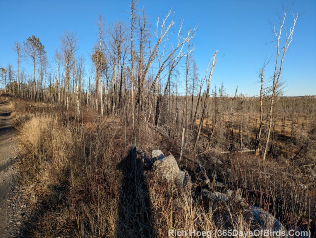
Upland Trail Forest Road Beaver Pond (Google Maps Link): A nice forest road that is on the west side of Lake Cty. 2 across from Whyte Road. 1.7 miles in from Lake County 2 is a very nice, large, beaver pond. Worth birding. Driving beyond this point may be “iffy” during wet conditions. 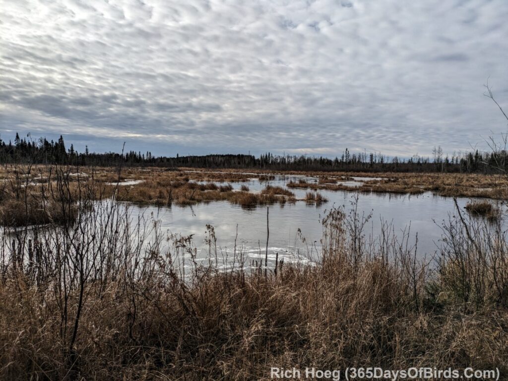
Greenwood Creek Hike Boreal Forest Bog and map (Google Maps Link): While the Sand River area north to Hwy 1 used to one of the best locations to find Spruce Grouse, this is now grouse central. I have seen upwards of 20 grouse at this location north past Greenwood Lake, but only right after sunrise in the Fall. 400 yards south of Greenwood Creek is a small backroad that is on the west side of Lake Cty. 2. It is a great birding area, and only a 3/4 mile hike will bring you to a phenomenal boreal bog. I hiked past the bog till I reached Greenwood Creek. Without tall boots I could not cross the stream. The water in November would not have been comfortable for wading across. Only 10 yards off Lake County 2 you will find a small parking area if you wish to take this hike.
Finally … bird photographs taken in the burn area over the past week
Spruce Grouse near Greenwood Greek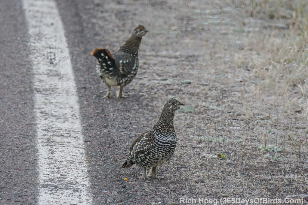
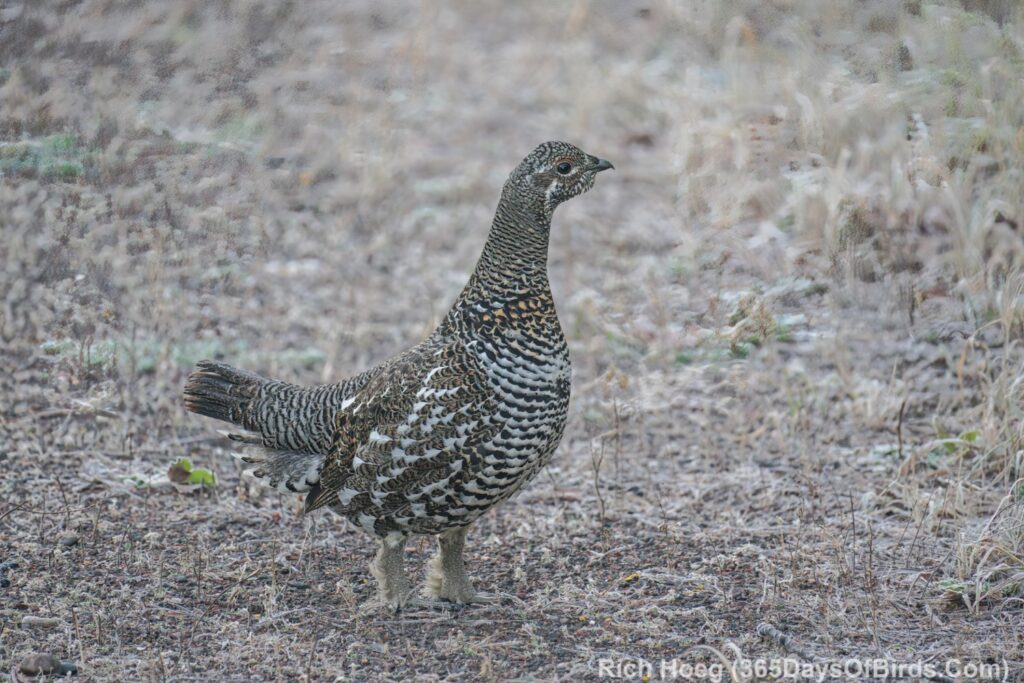
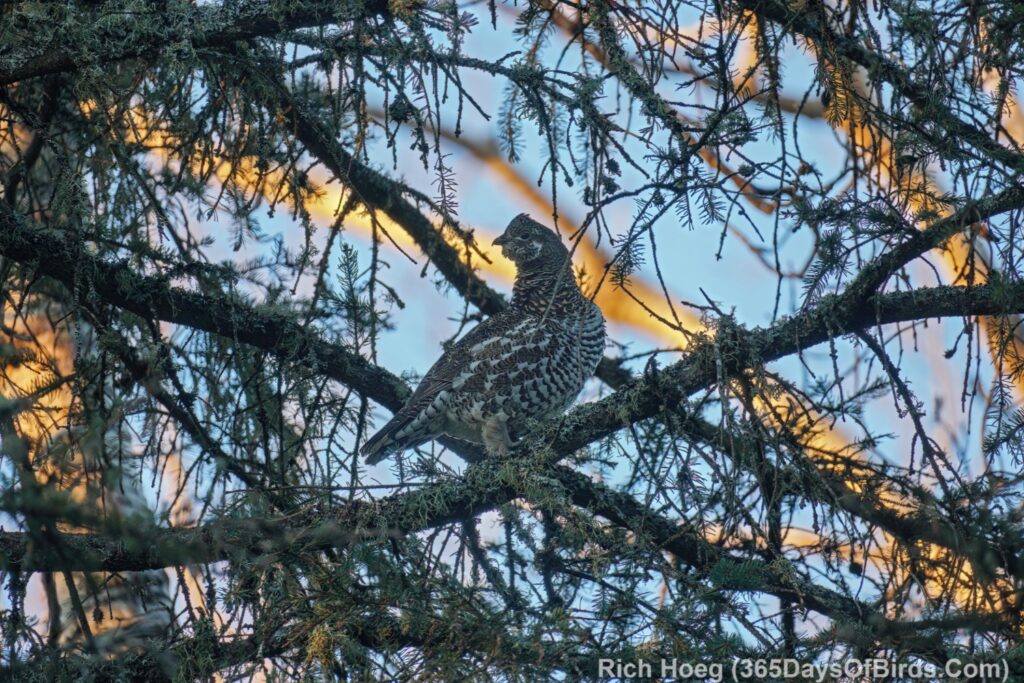
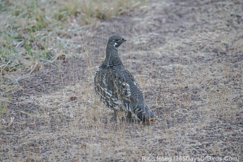
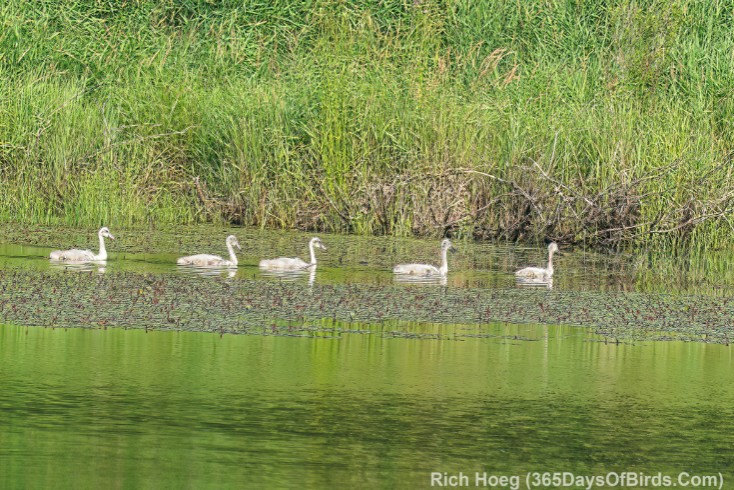
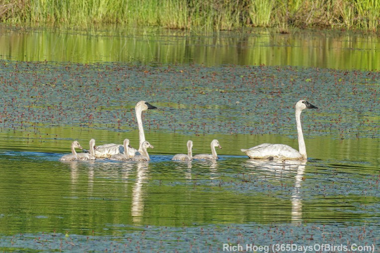
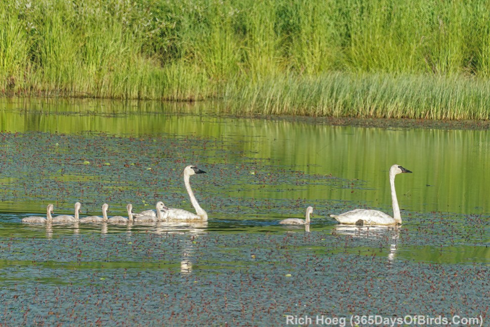
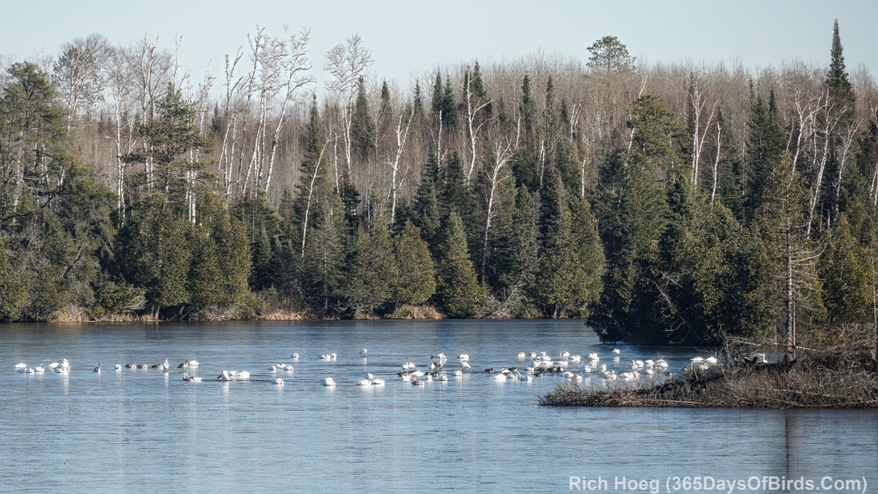
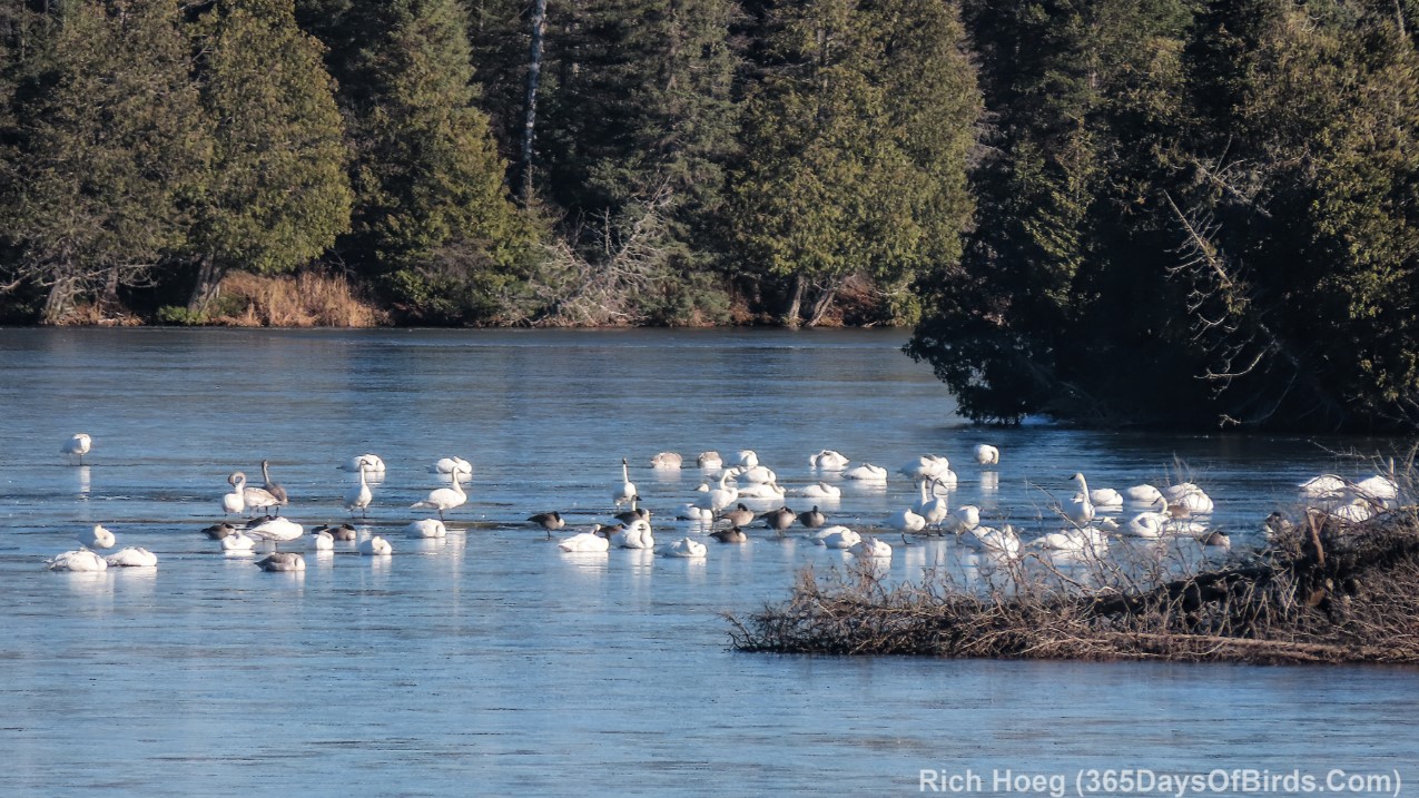
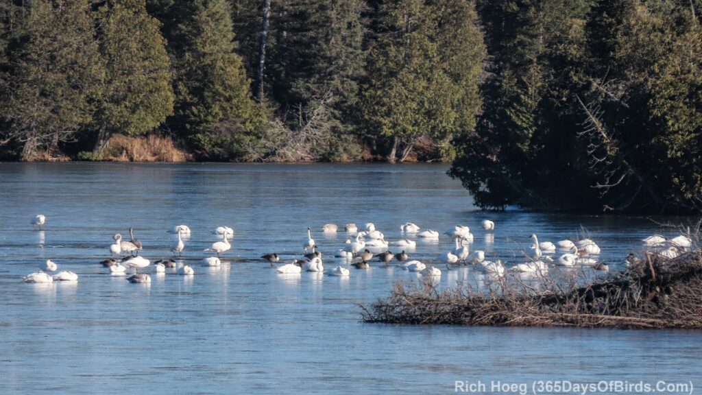
Flock of Migrating Trumpeters Swans “On Ice”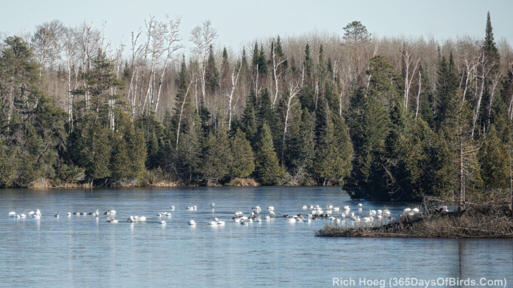
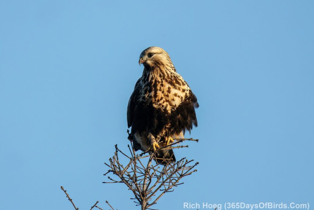
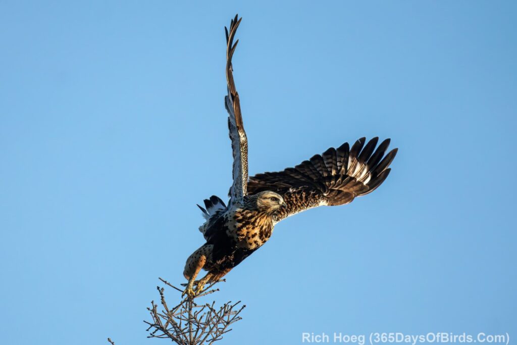
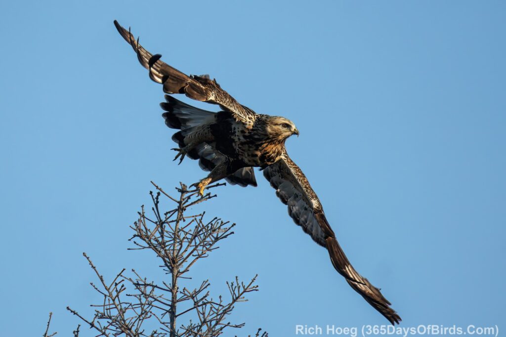
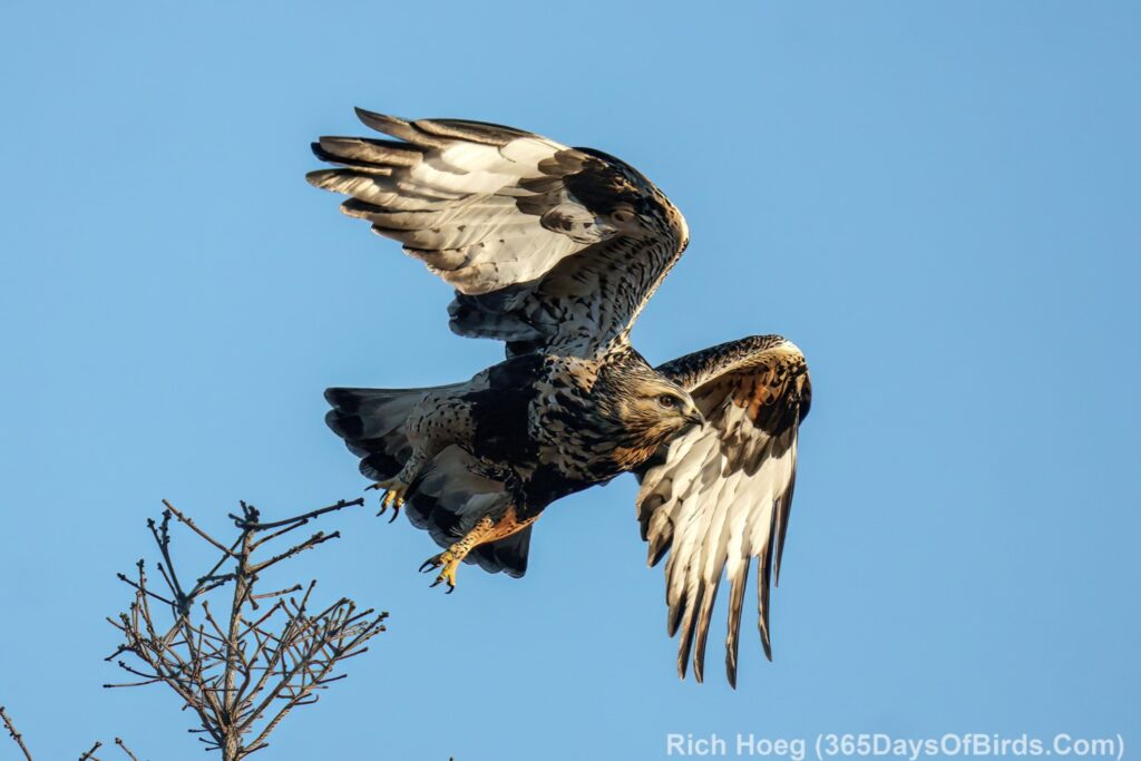
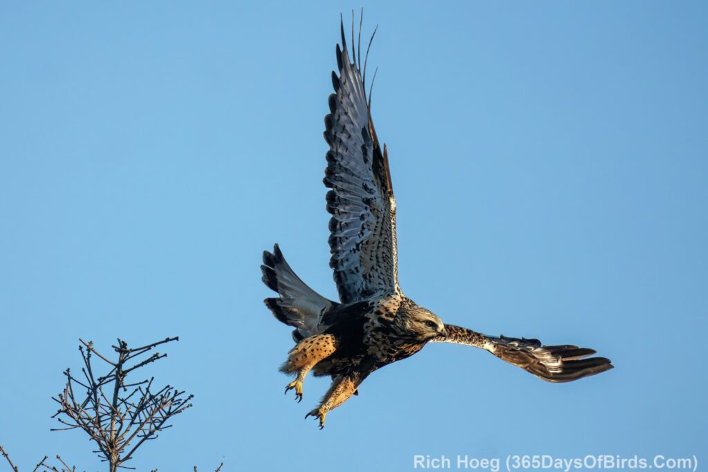
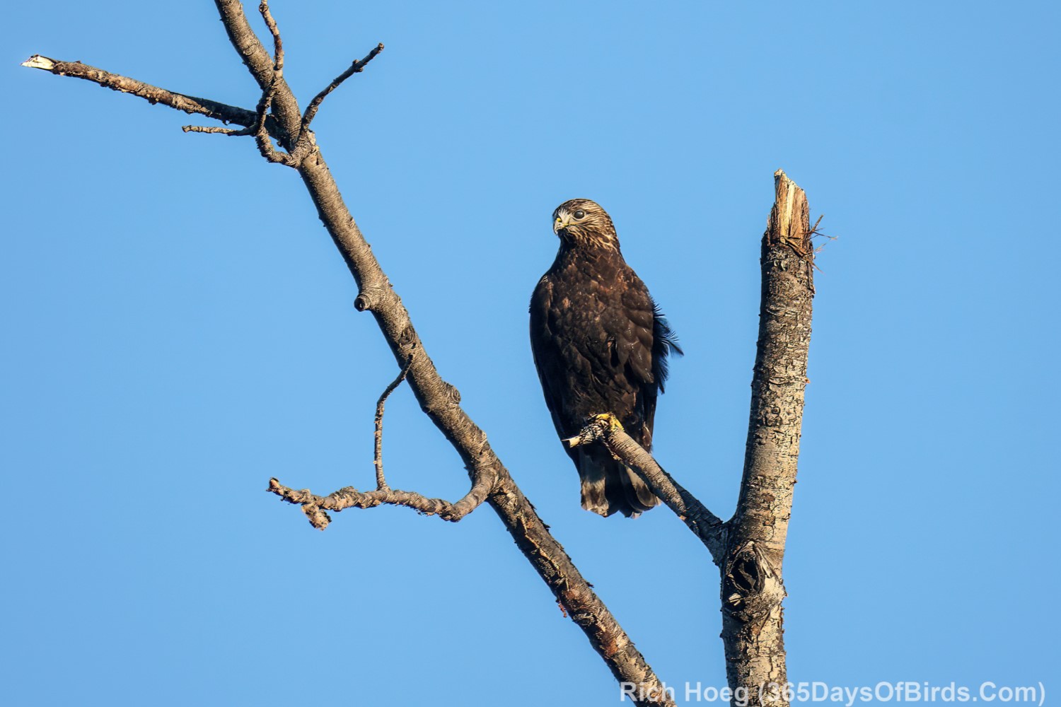
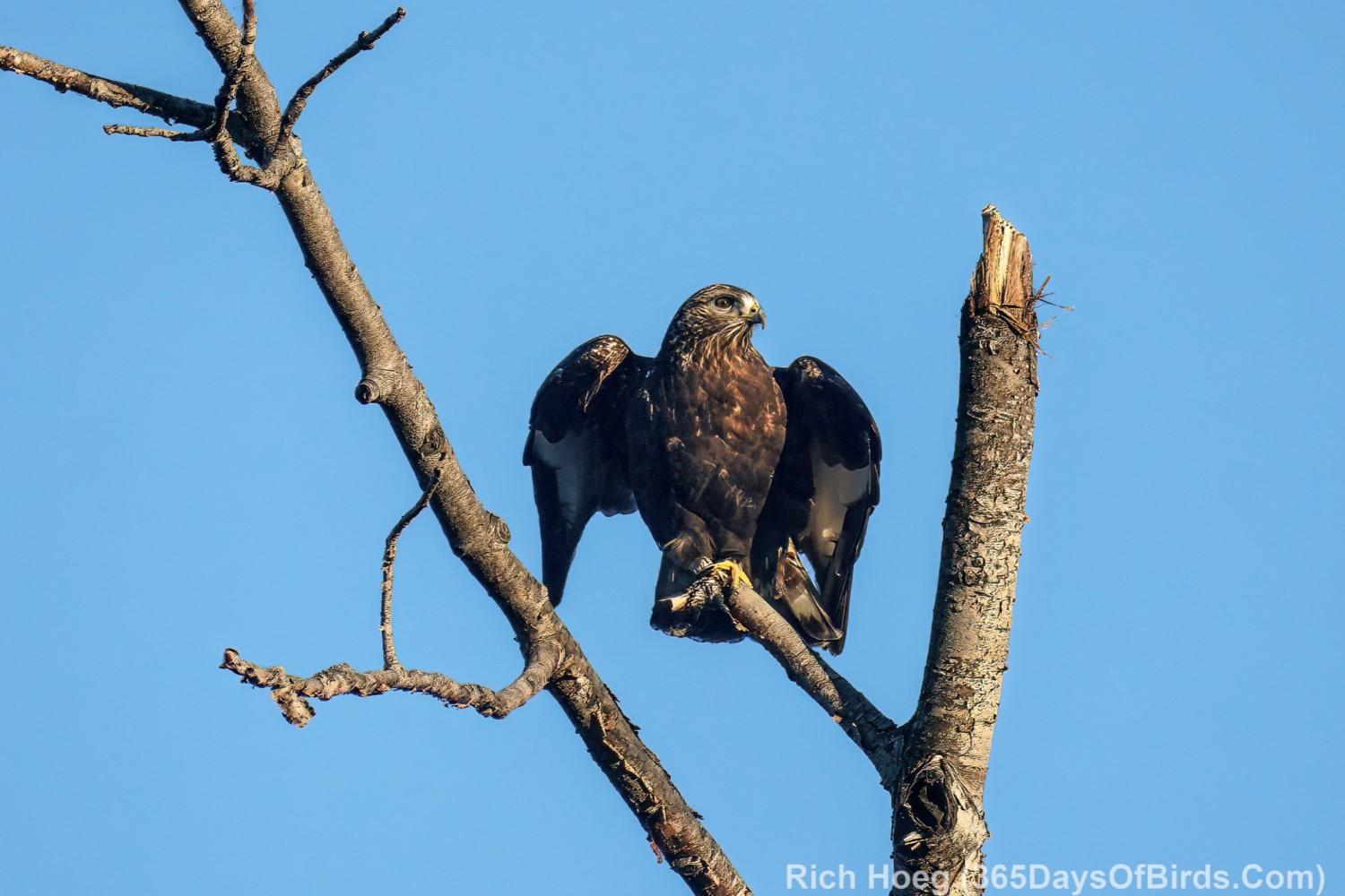
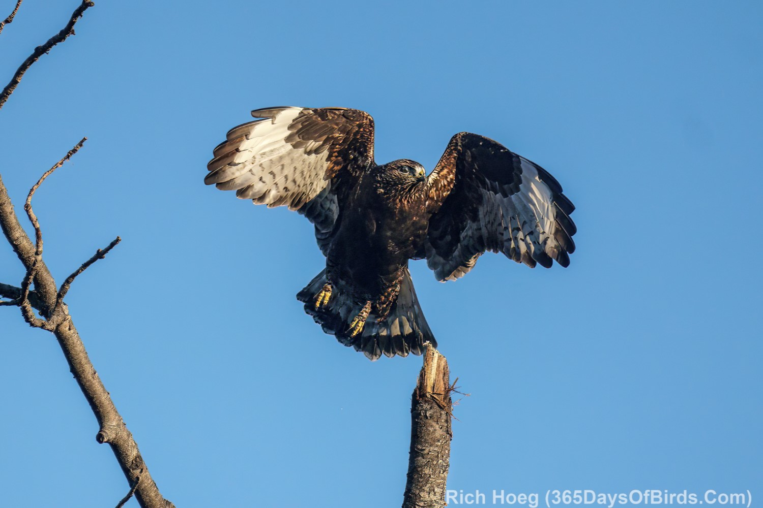
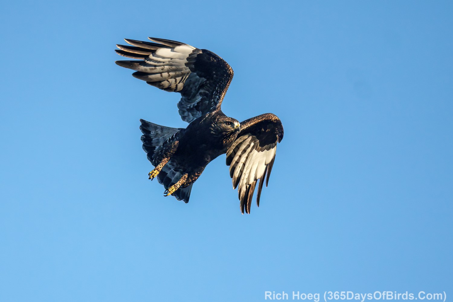
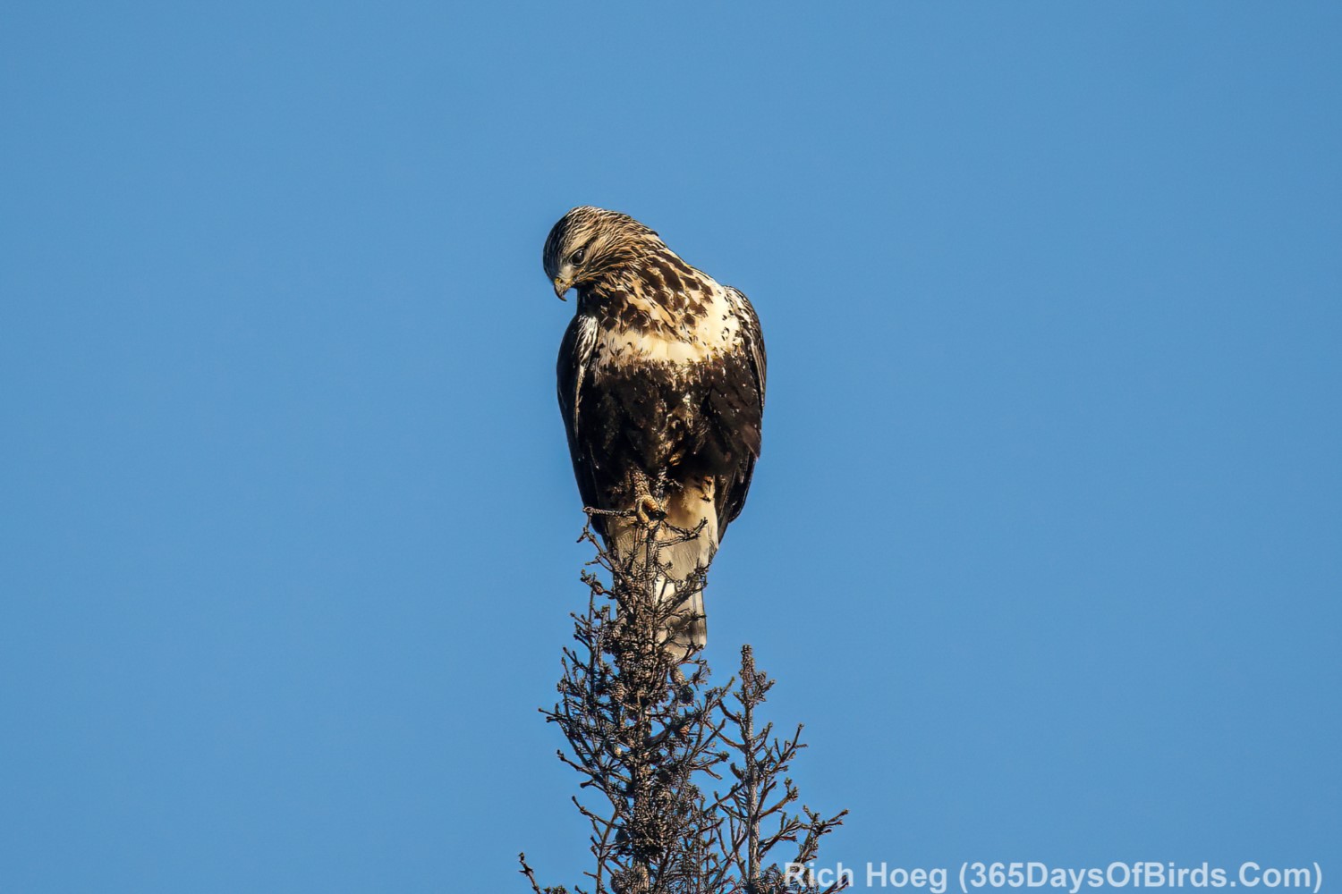
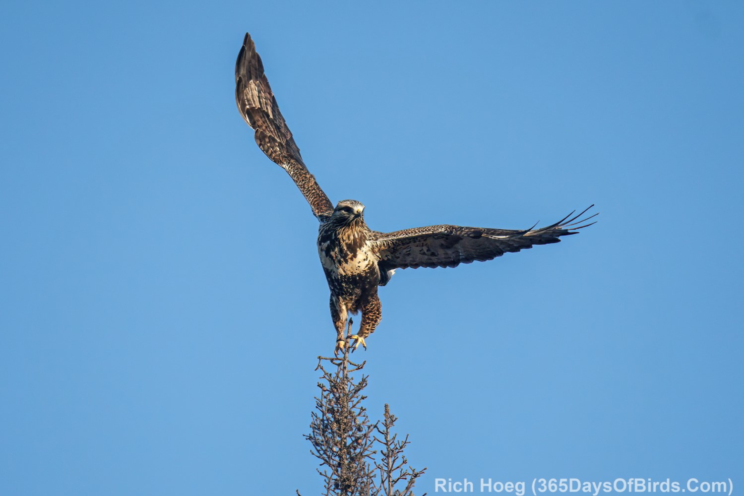
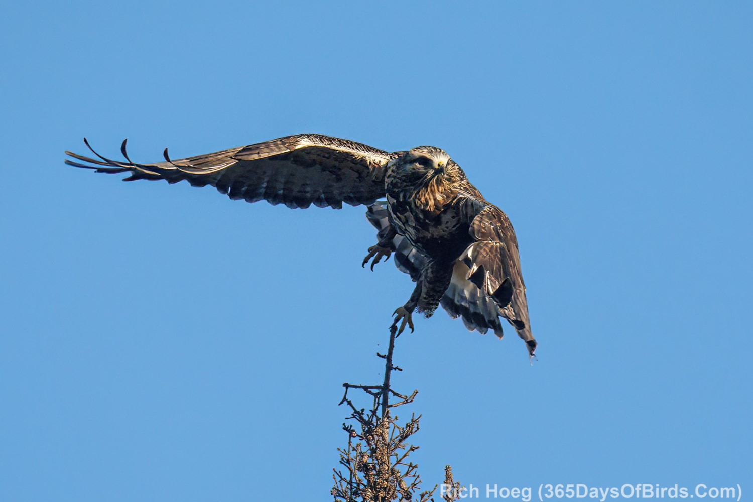
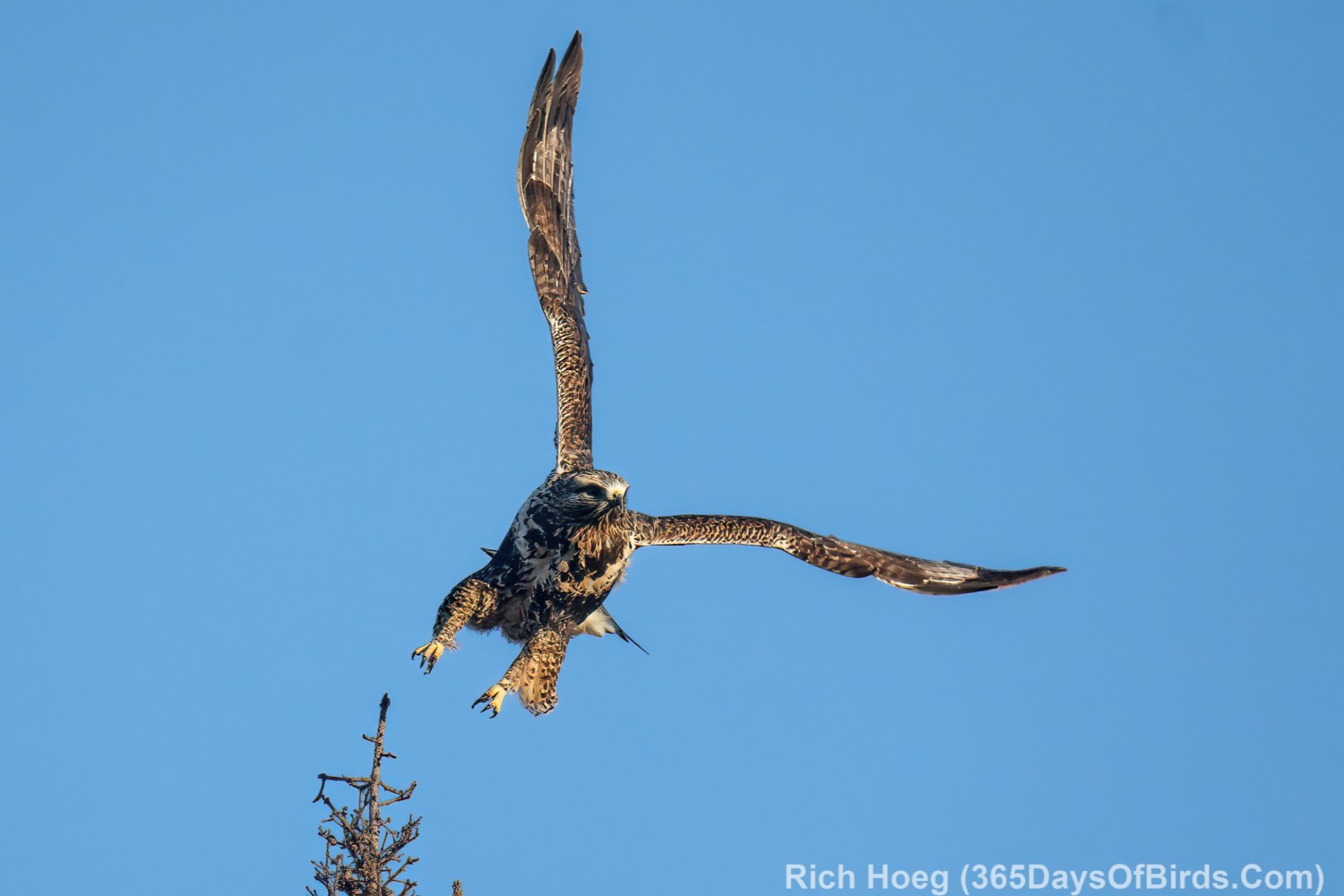
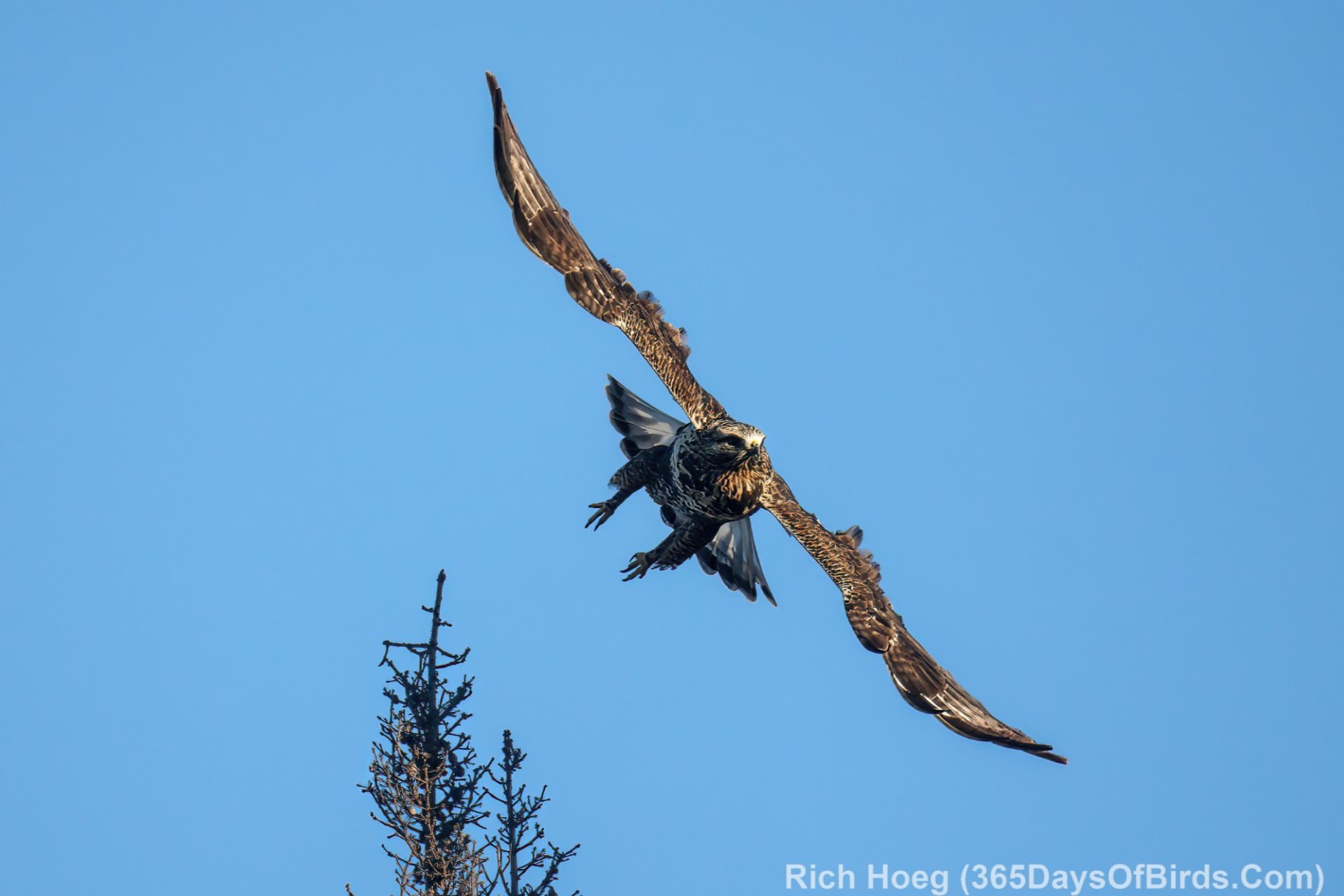
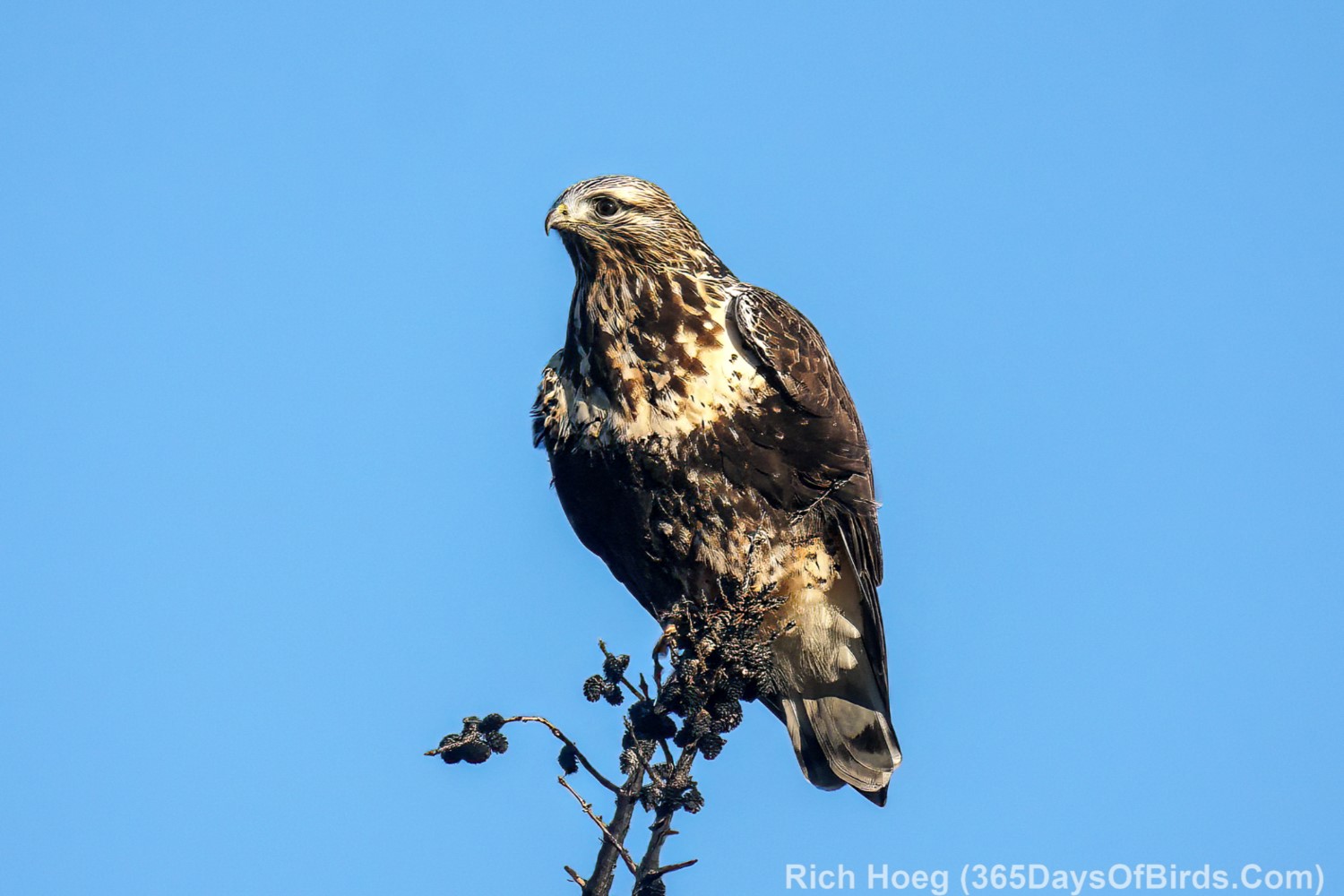
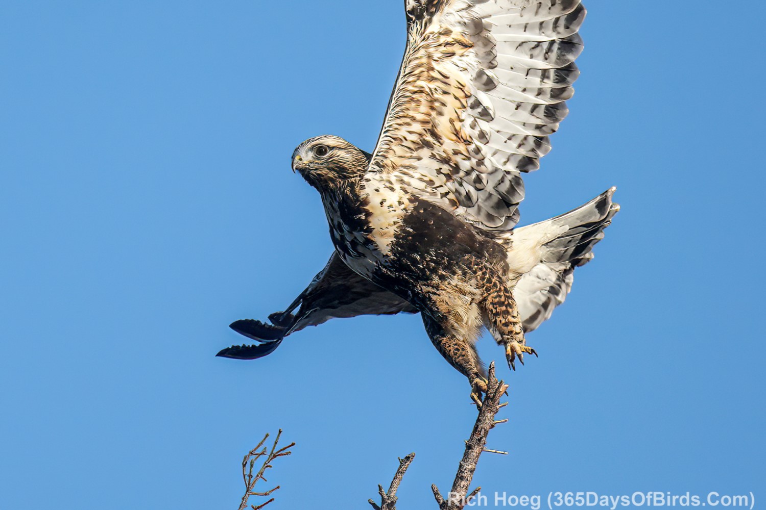
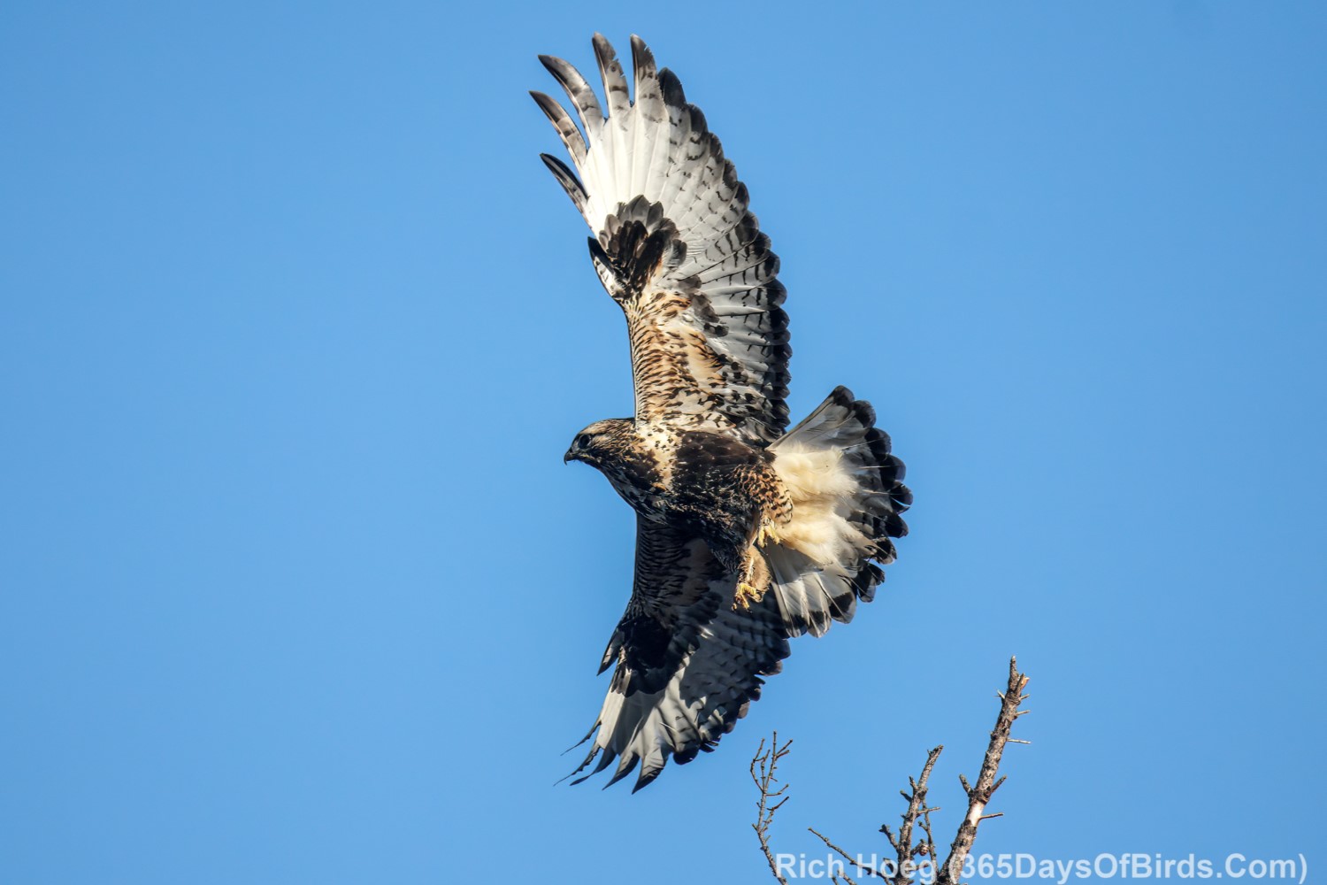
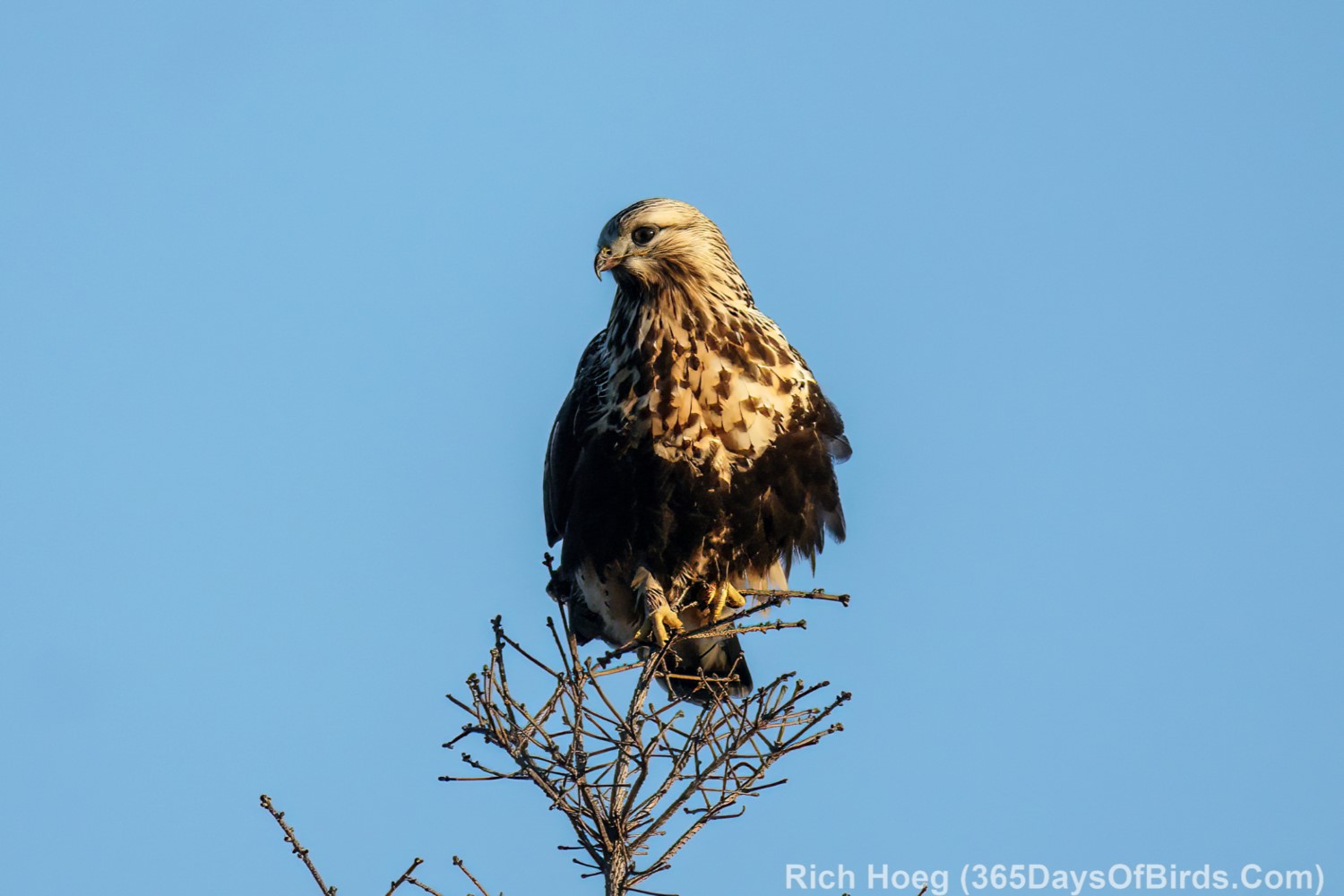
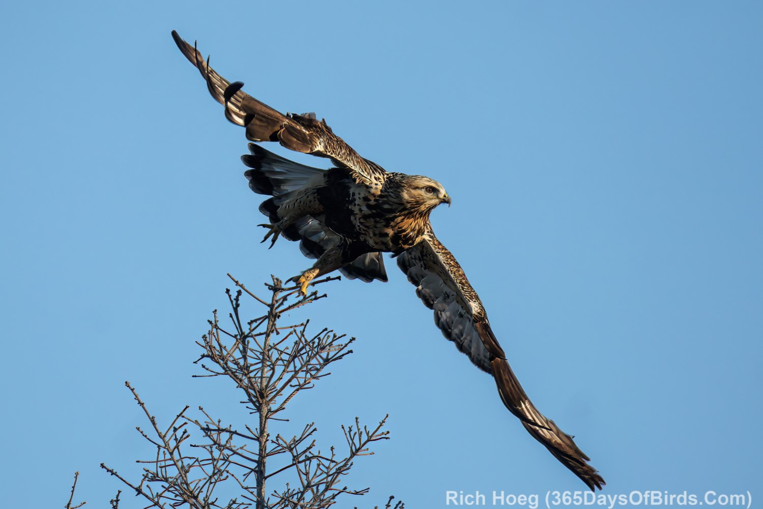
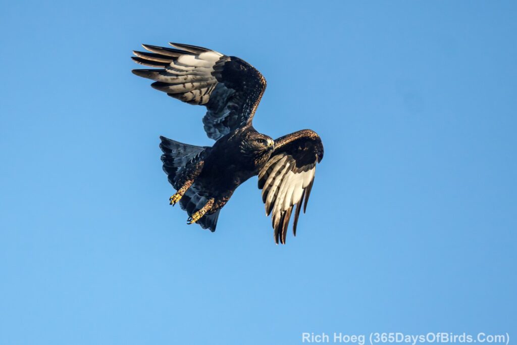
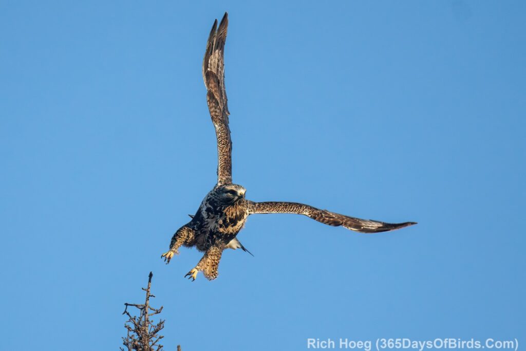
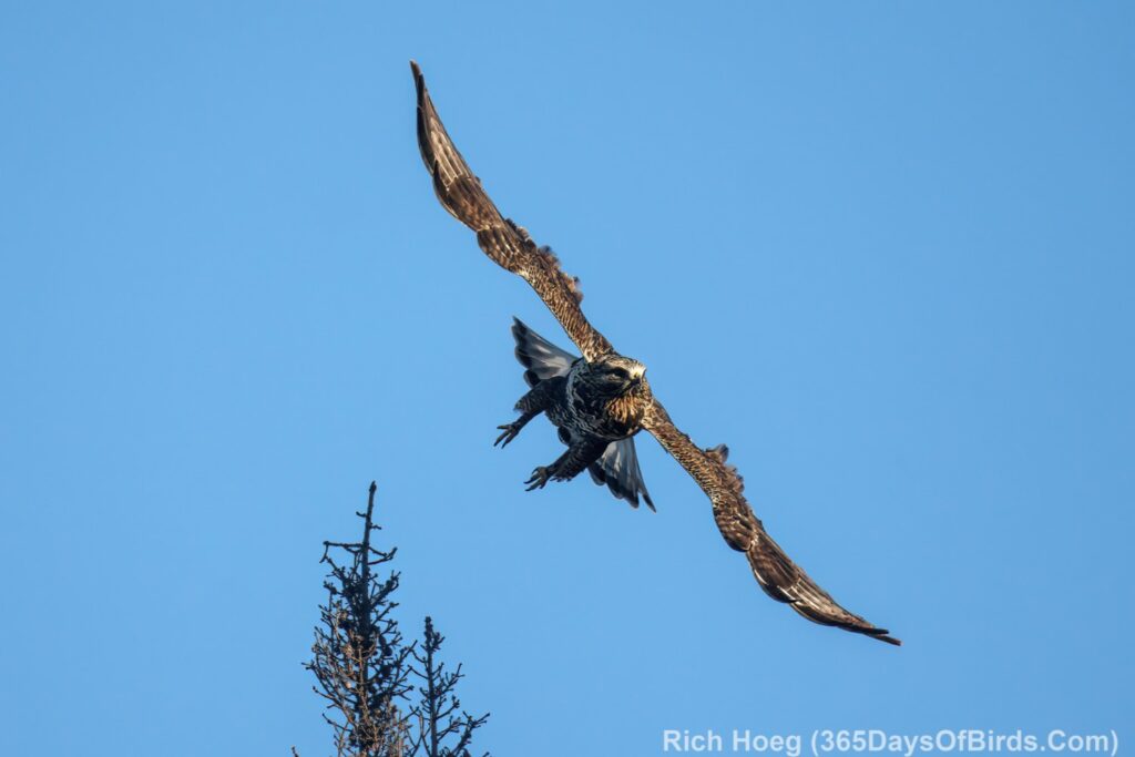
Rough-Legged Hawks (amazing numbers hunting the burn area. I would commonly see 5 to 10 during the Fall Migration)
Hawk #1 (Dark Morph)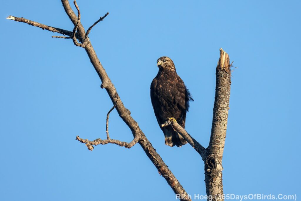
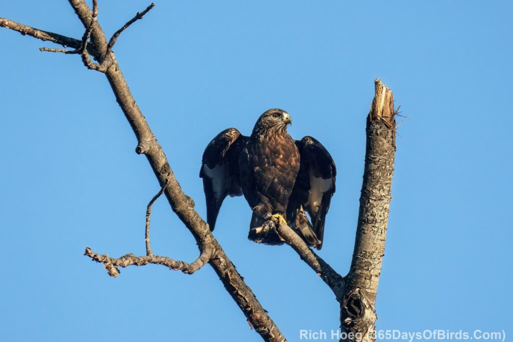
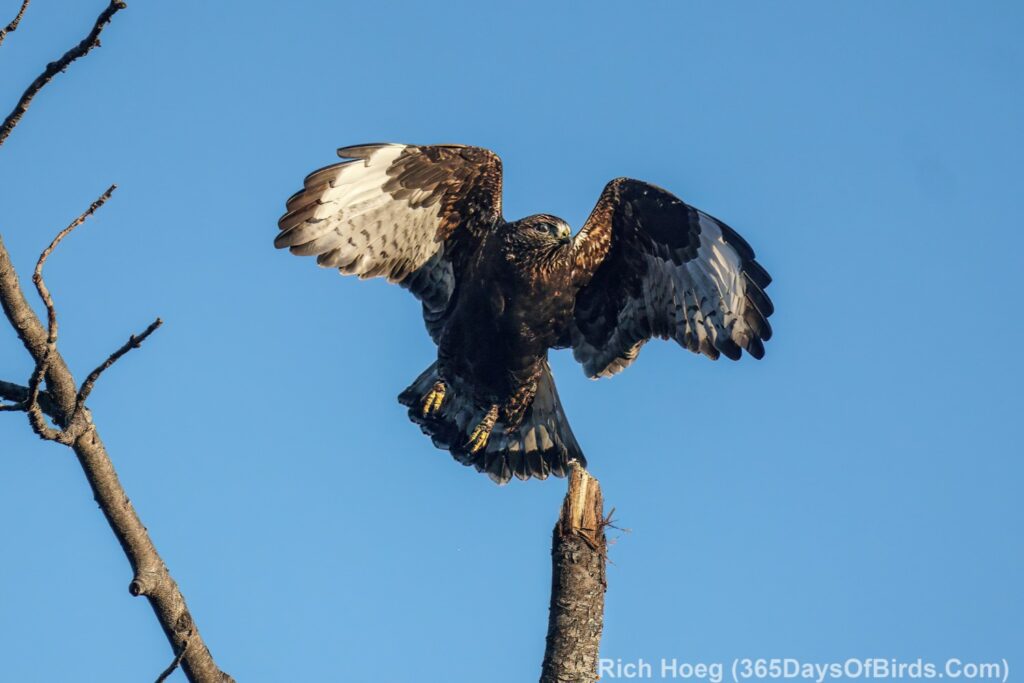
Hawk #2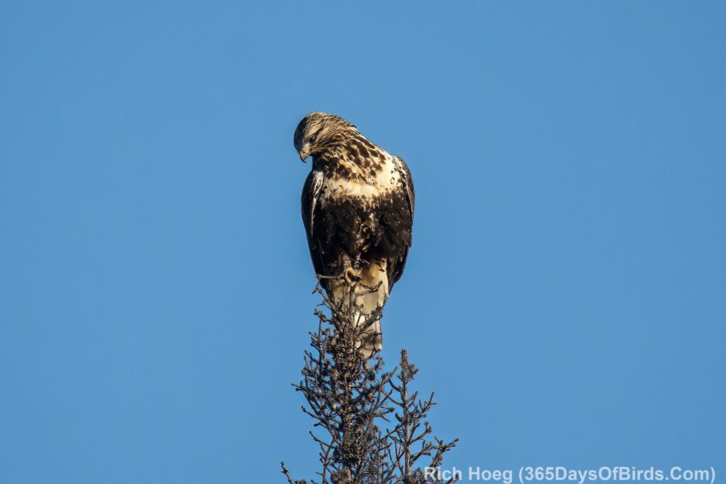
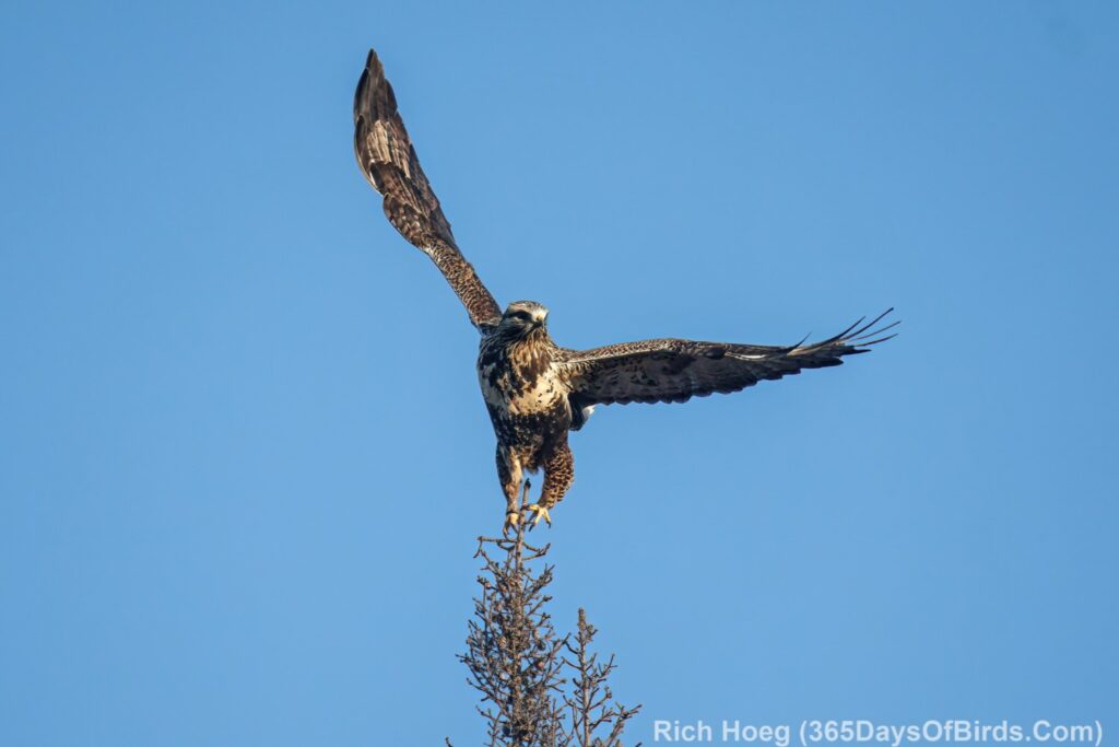
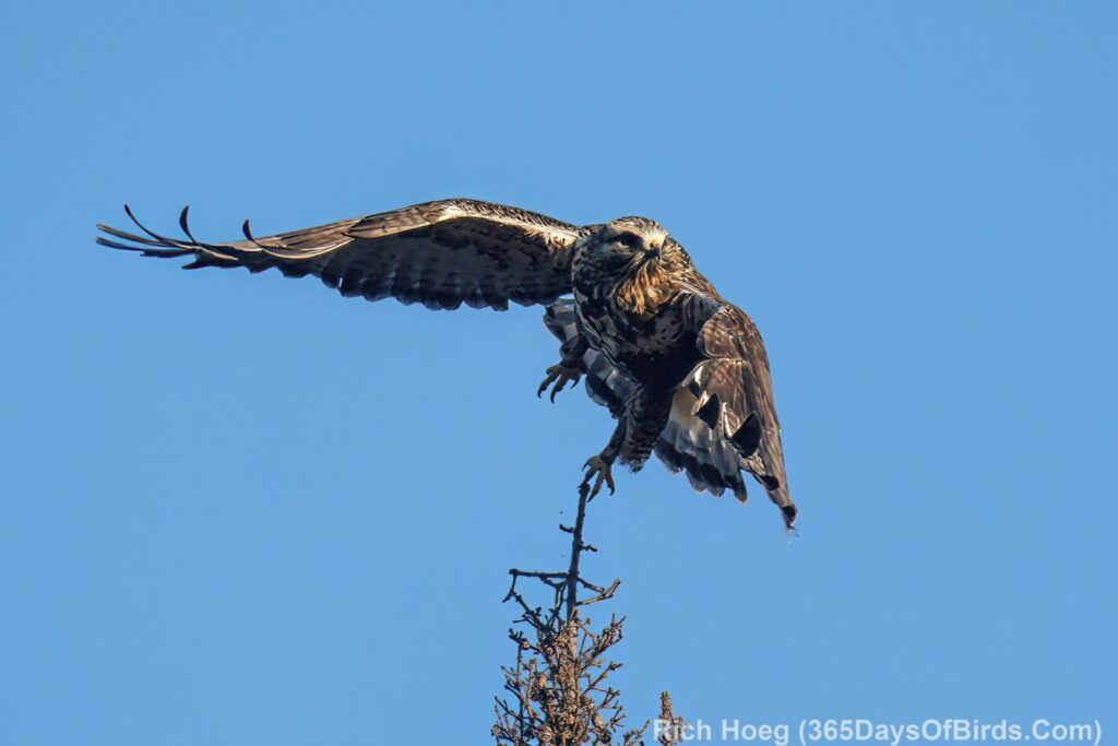
Hawk #3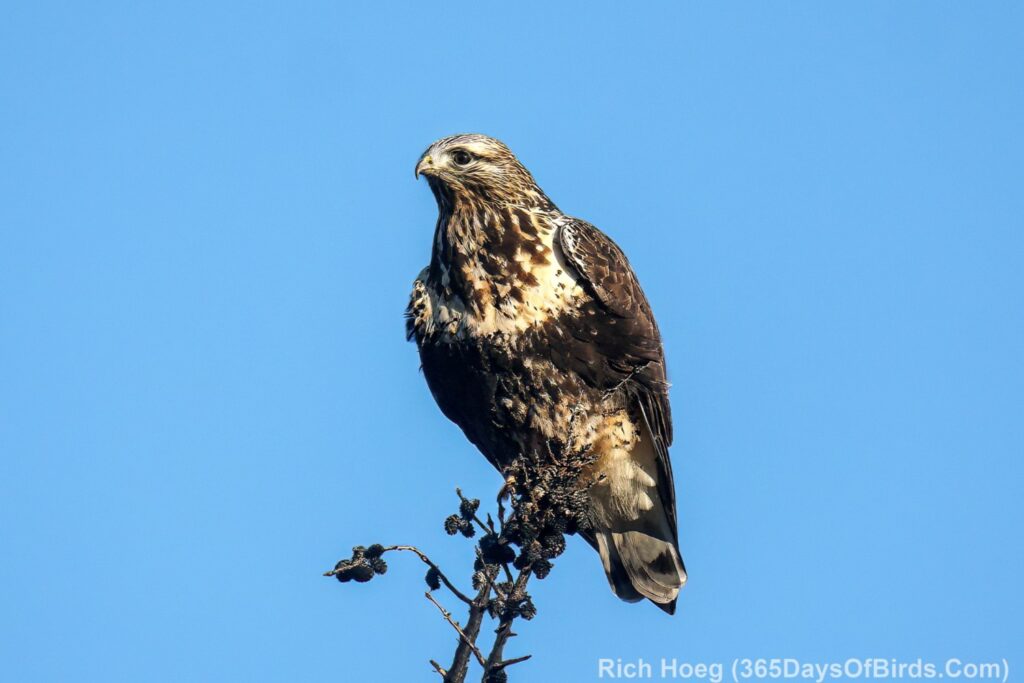
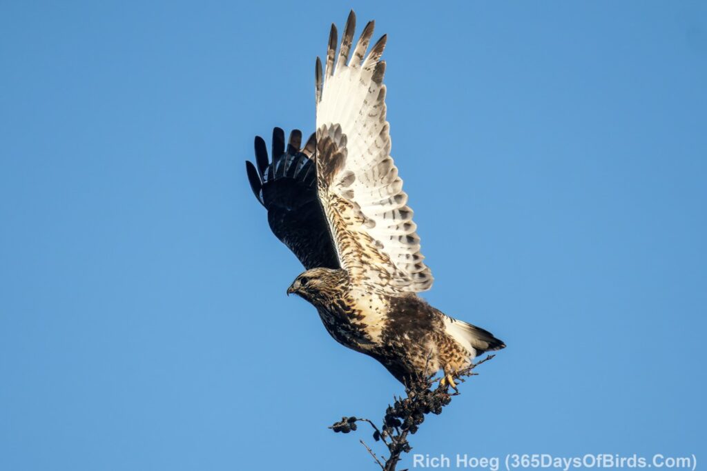
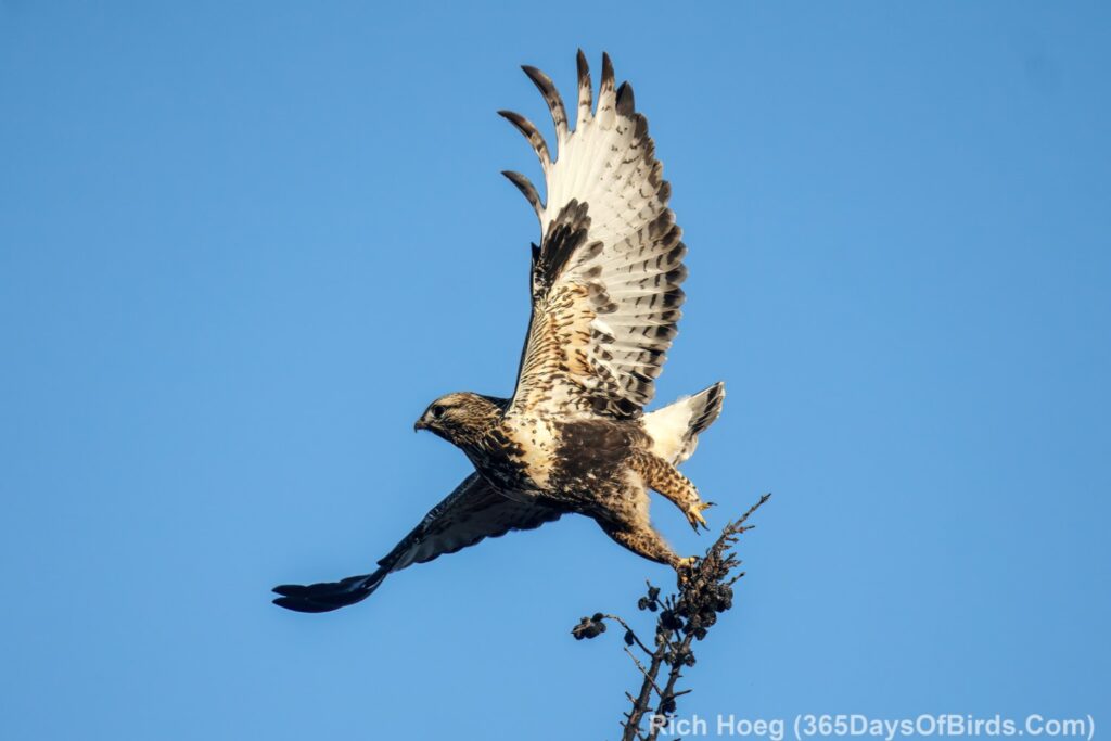
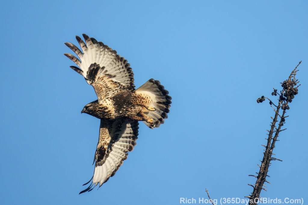
Hawk #4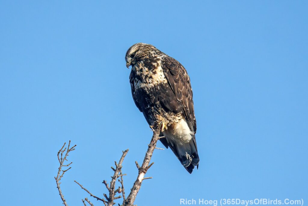
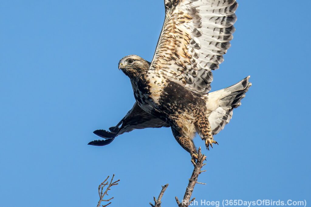
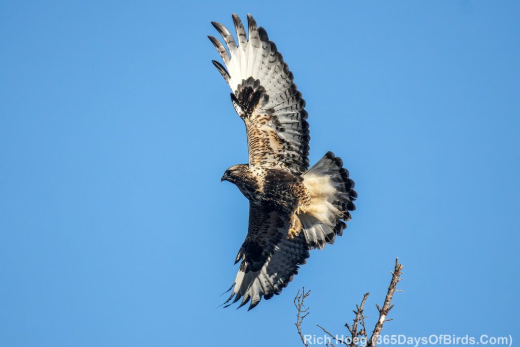
Hawk #5