Tag Archives: MN North: Sax-Zim Bog

Day 365: One Year of Bird Photos Complete!

Finished! The journey which started on my wife’s birthday last year is complete. For 365 days I have taken a photo of a bird every day. I never imagined the commitment and difficulties this project would entail. However, in addition to seeing some beautiful birds and capturing the image with my camera, I made lots of new friends and learned about photography. In the days I ahead I will blog about my learnings, but for the moment I want to just relax and enjoy the moment. My bird photography and posts will definitely continue on this site.

Although the weather has been quite gloomy as of late in northern Minnesota, I caught a break with bright clouds in the morning, and blue skies in the afternoon. I actually was out from before dawn to past dusk. Here are the days efforts.

Day #365 … A Northern Woodsman’s Photographic Journey

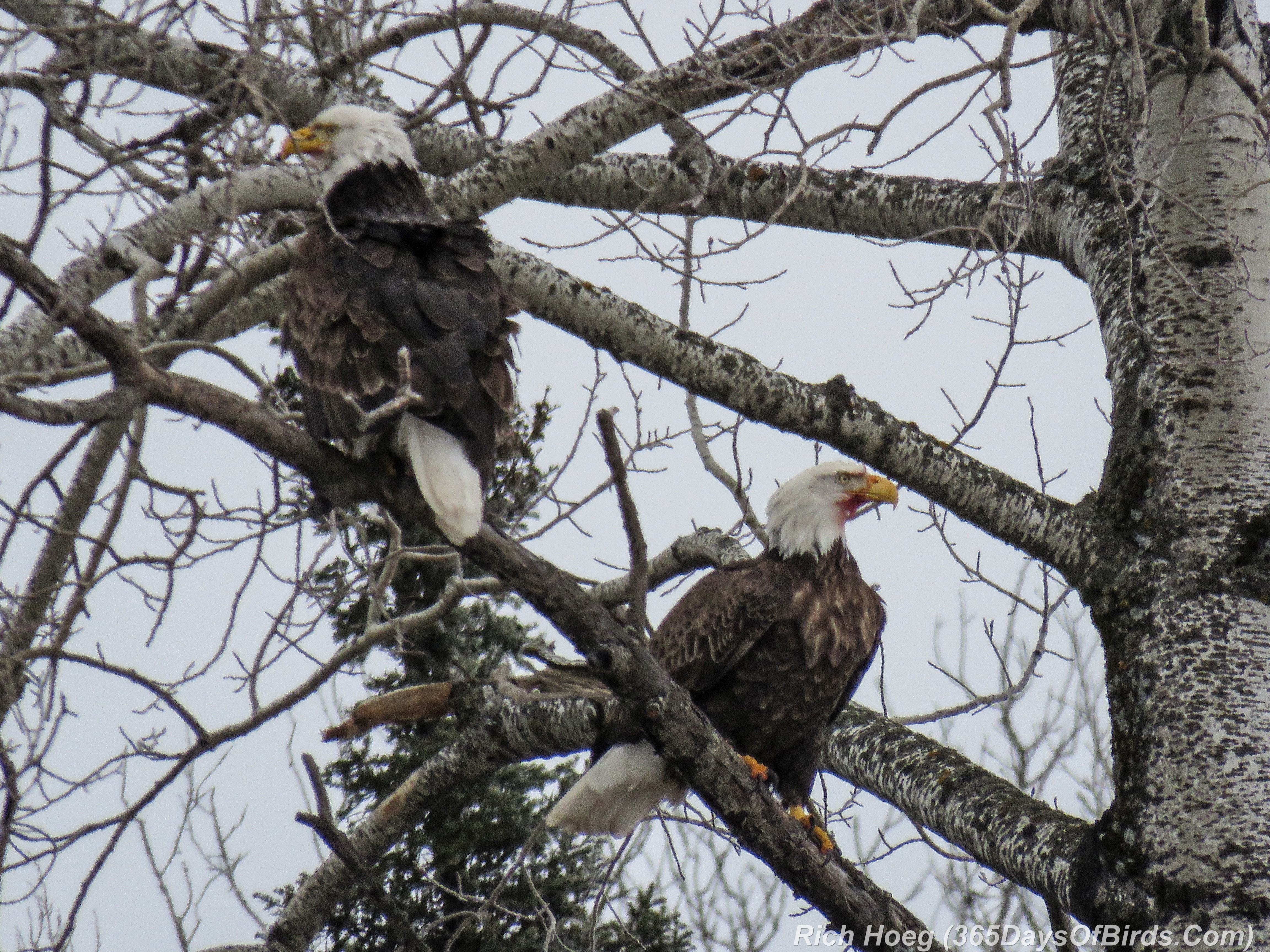
Early Morning: Roadkill Cafe: Bald Eagles
365-Birds-365-Bald-Eagles-Road-Kill-Cafe

———-

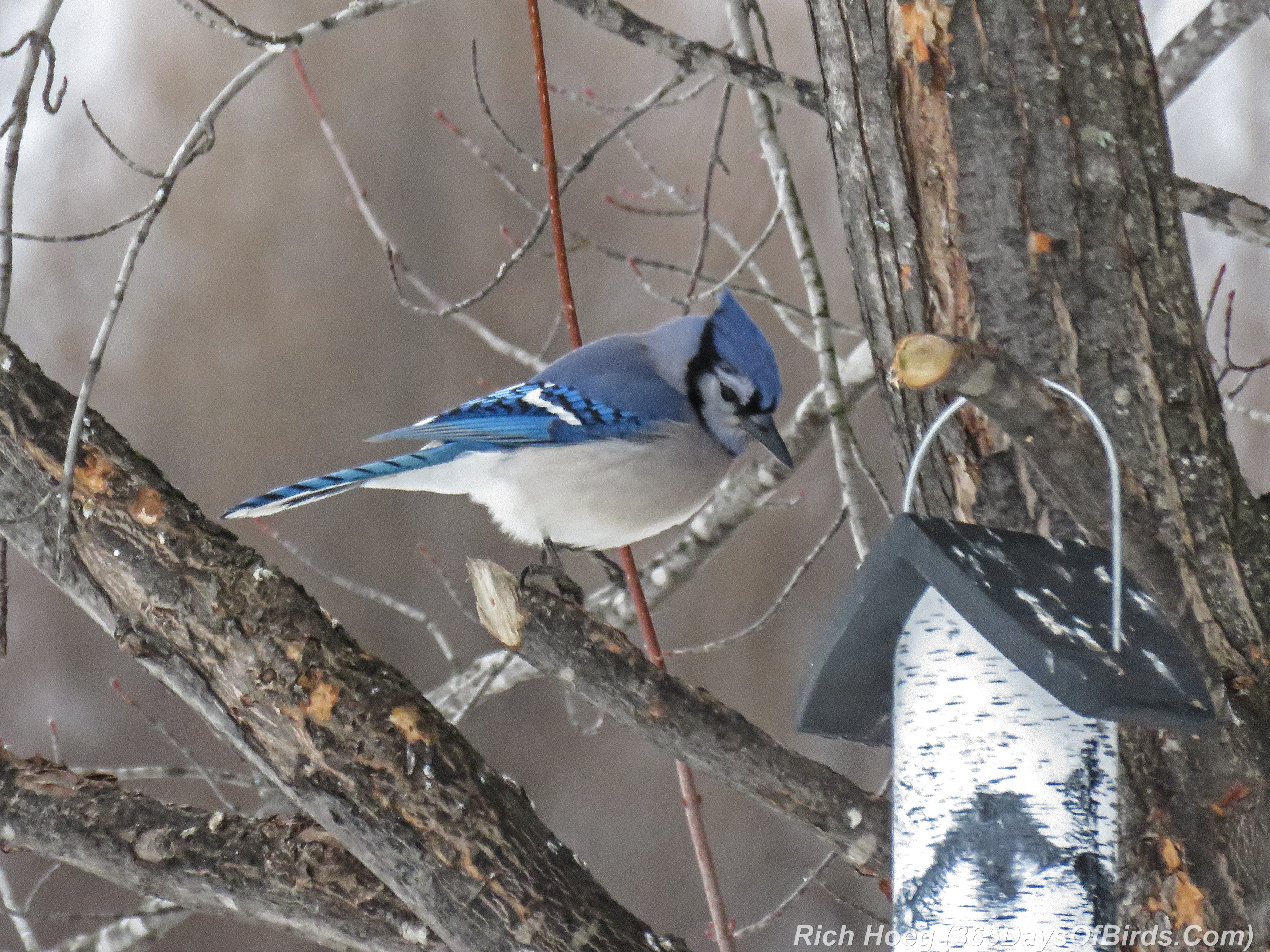
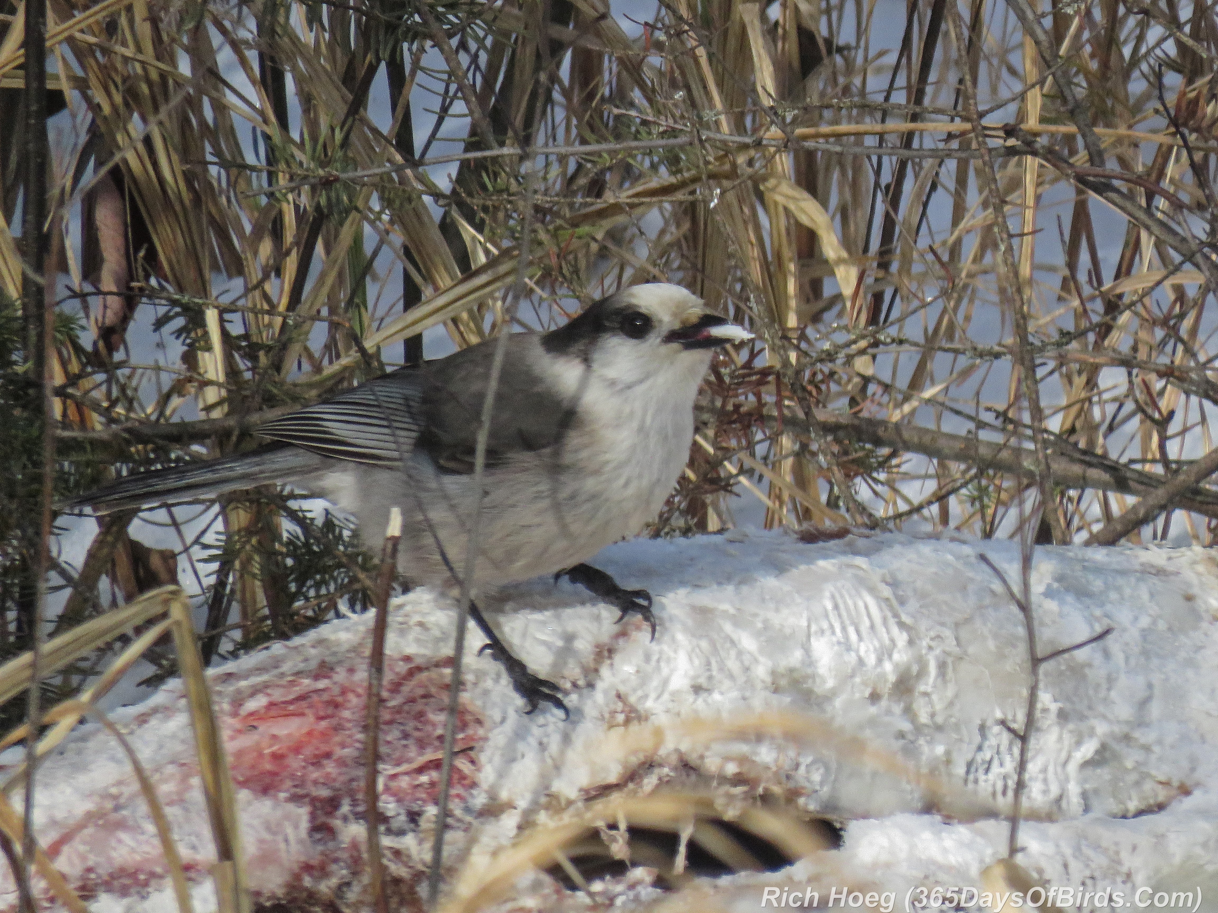
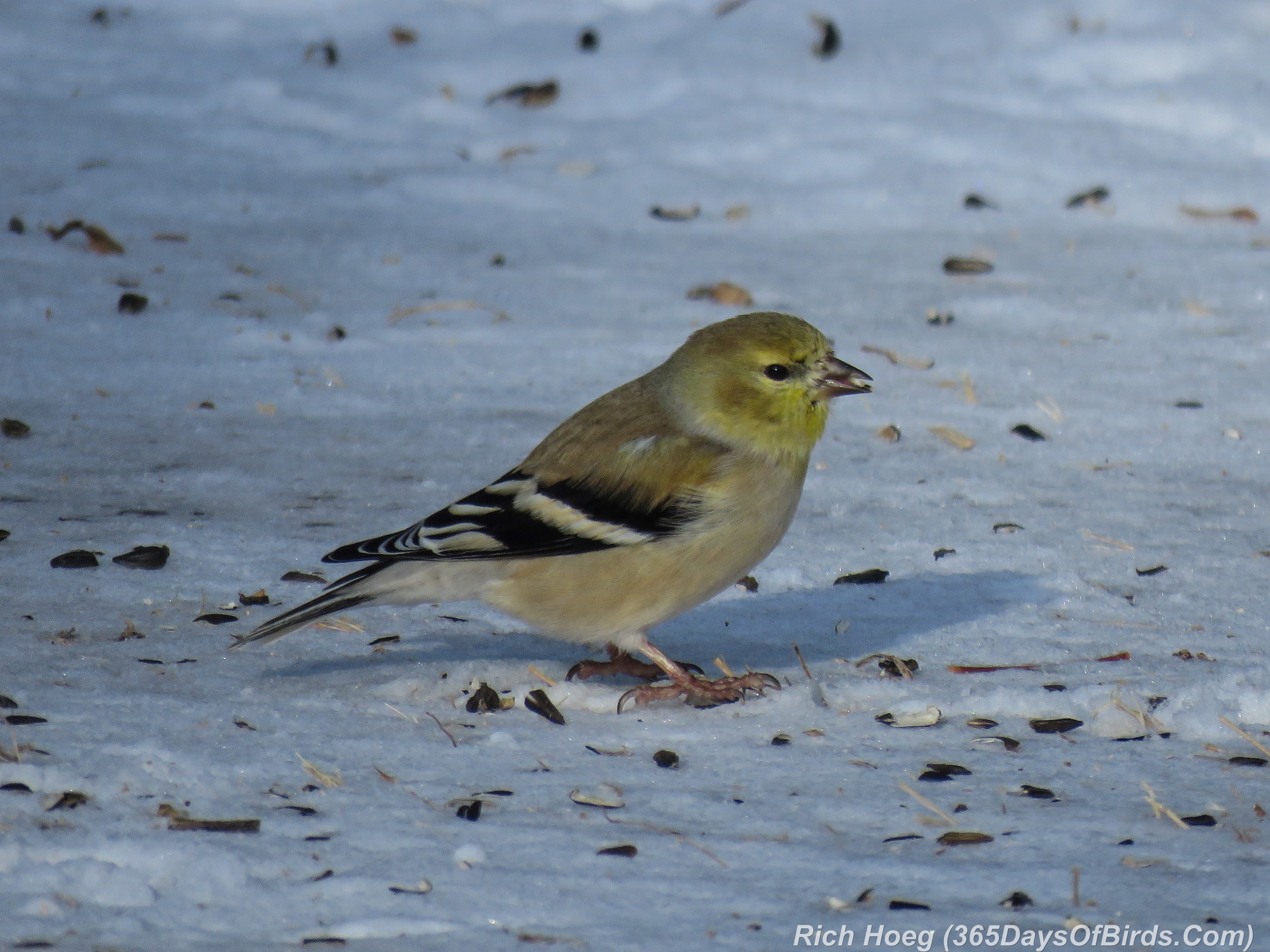
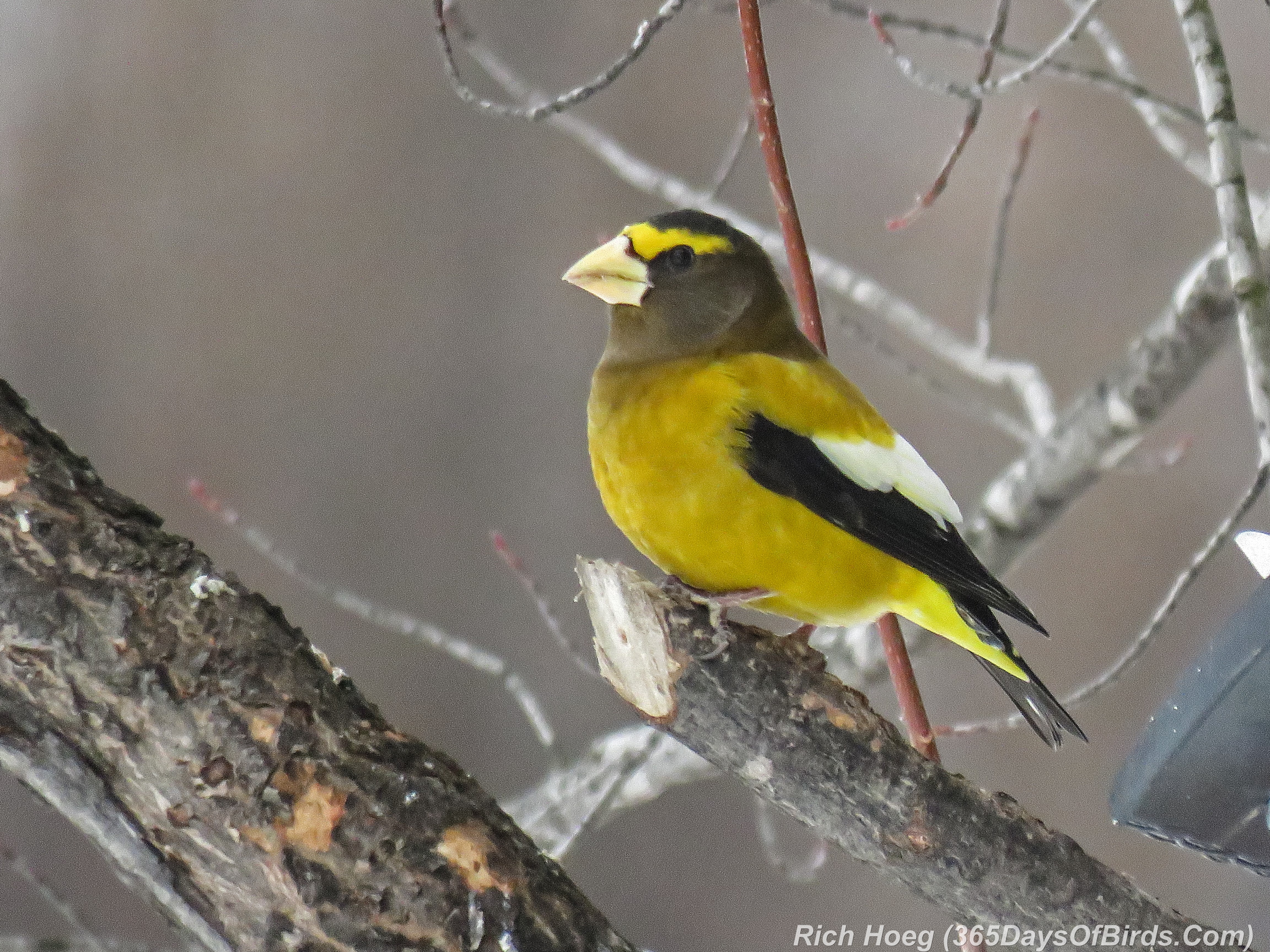
Mid-Morning Snacks: Evening Grosbeak, Blue Jay, Grey Jay, Goldfinch
365-Birds-365-Evening-Grosbeak 365-Birds-365-Blue-Jay 365-Birds-365-Grey-Jay 365-Birds-365-Gold-Finch

———-

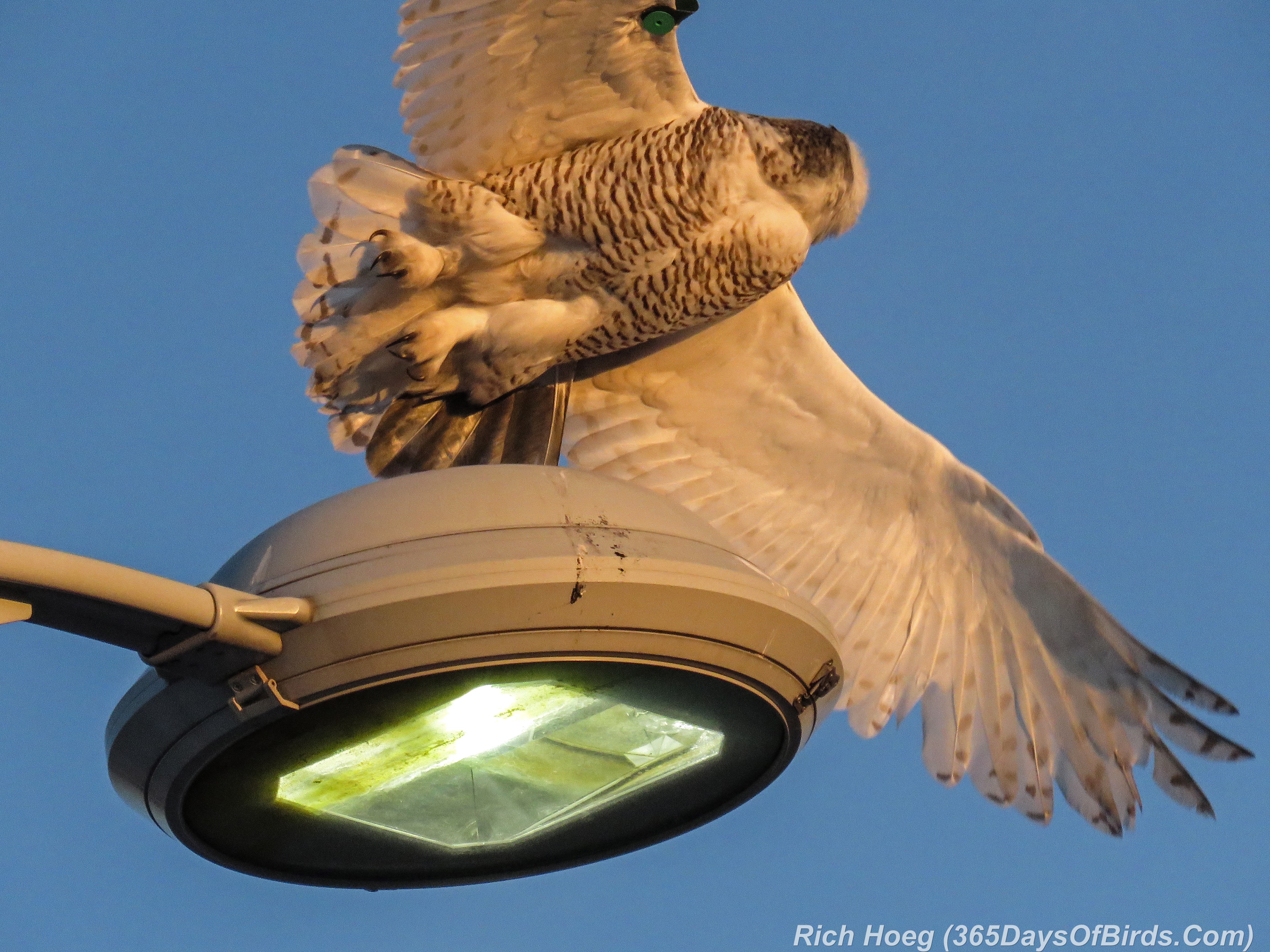
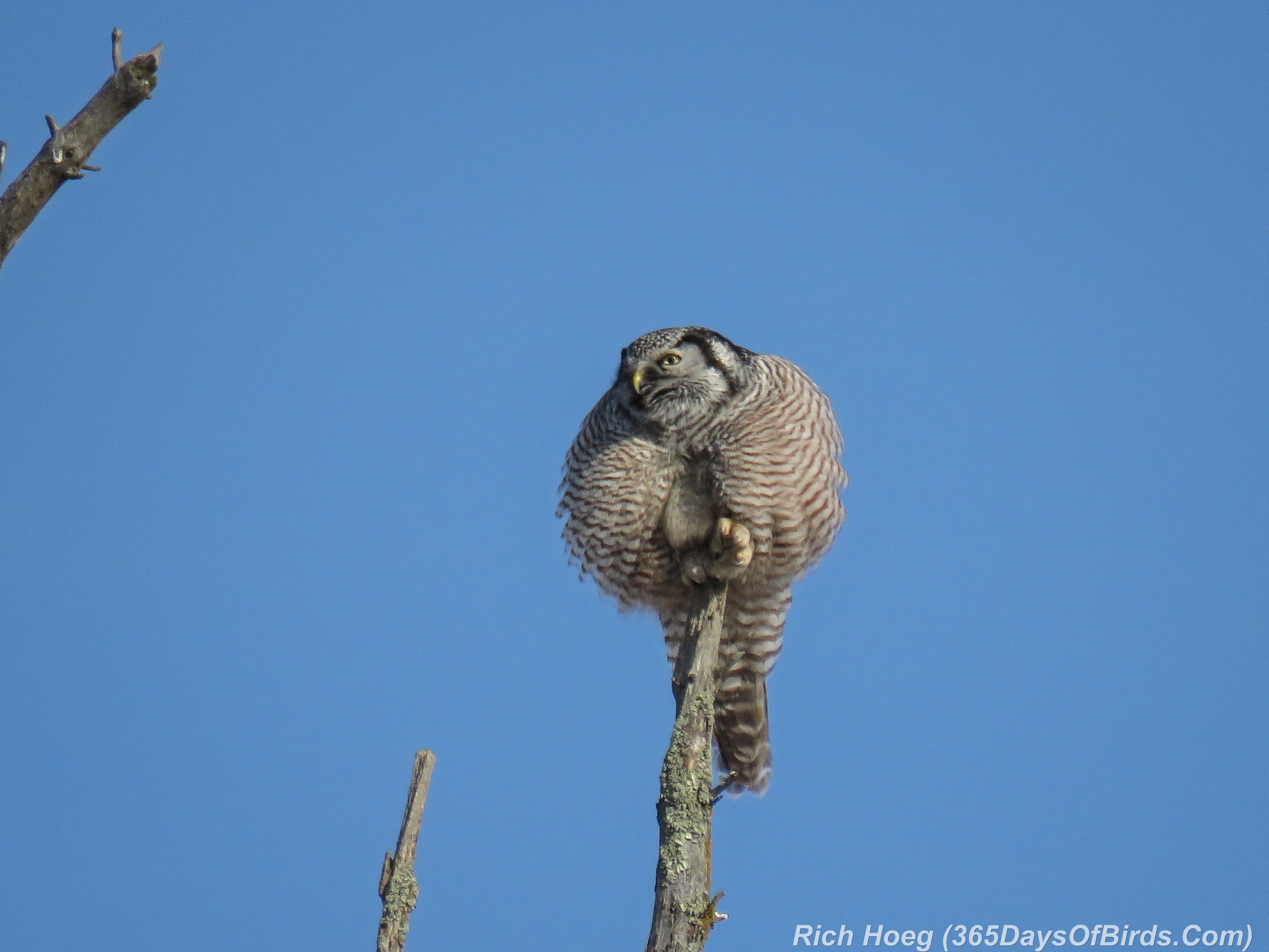
Owly Afternoon: Northern Hawk Owl and Snowy Owl
365-Birds-365-Northern-Hawk-Owl 365-Birds-365-Snowy-Talons

———-

Lake Superior Sunset: Wisconsin Point Lighthouse
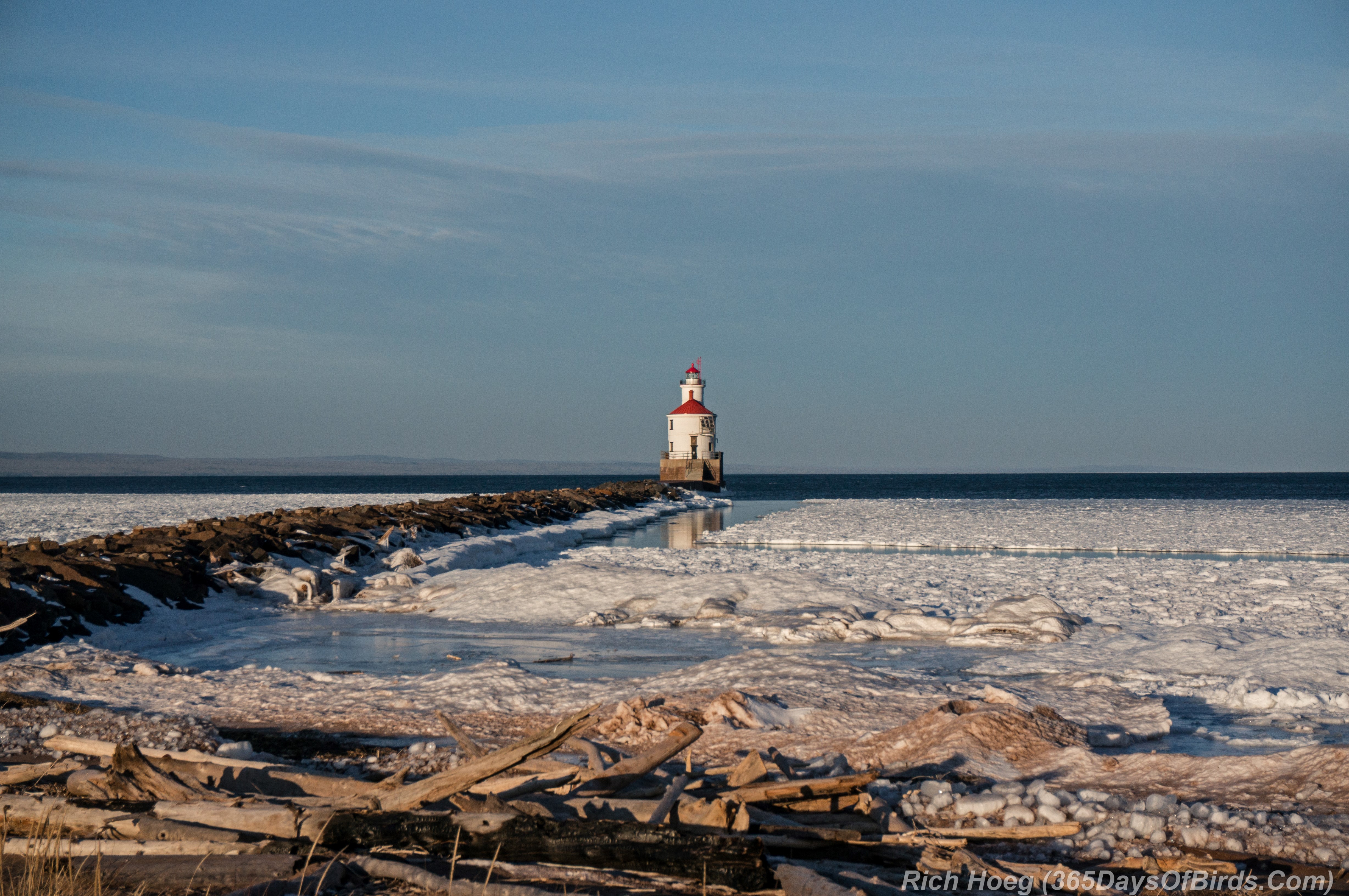
365-Birds-365-Superior-Entry-Sunset


Day 360: Vivid Color in the Snow!

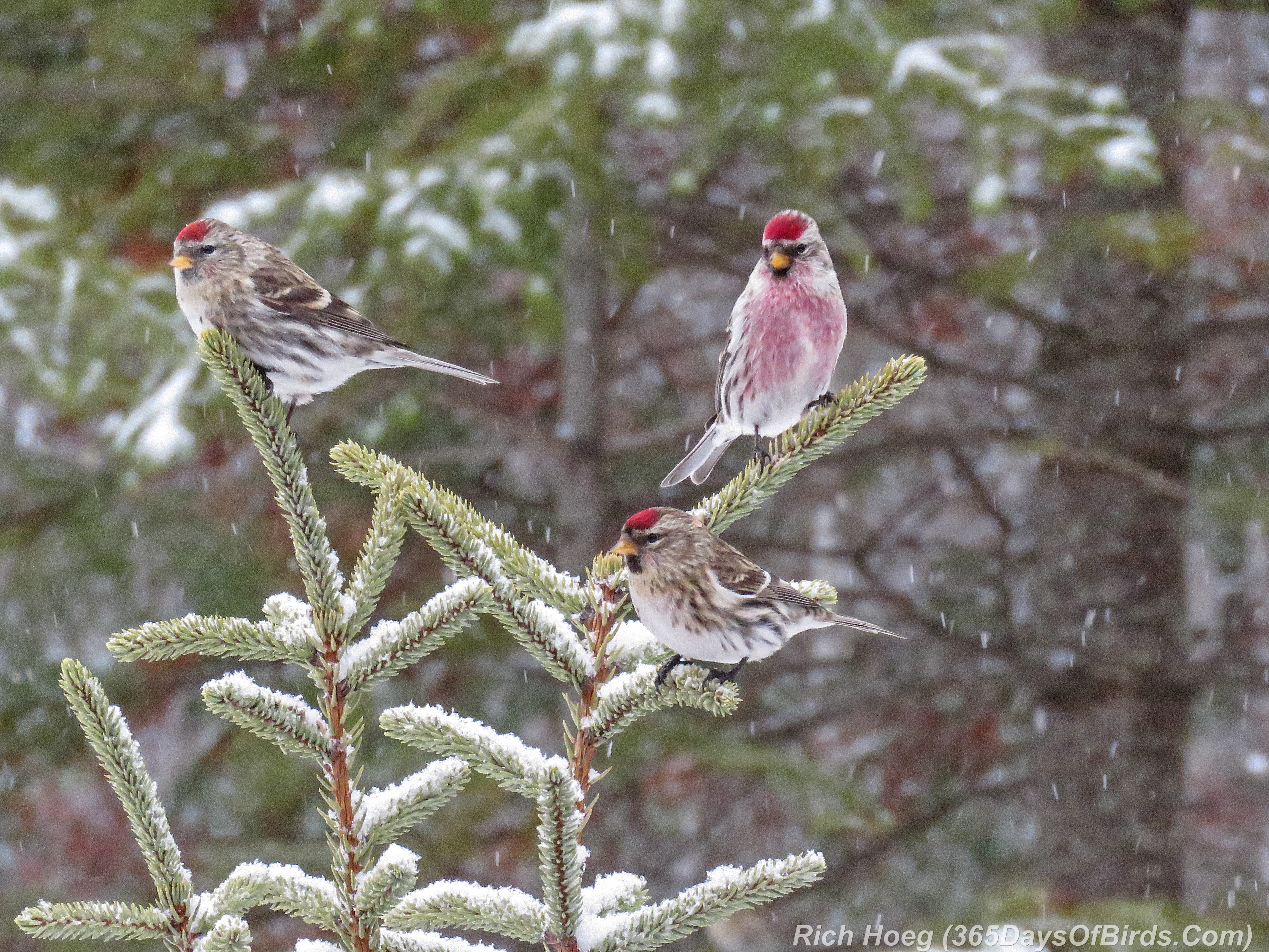
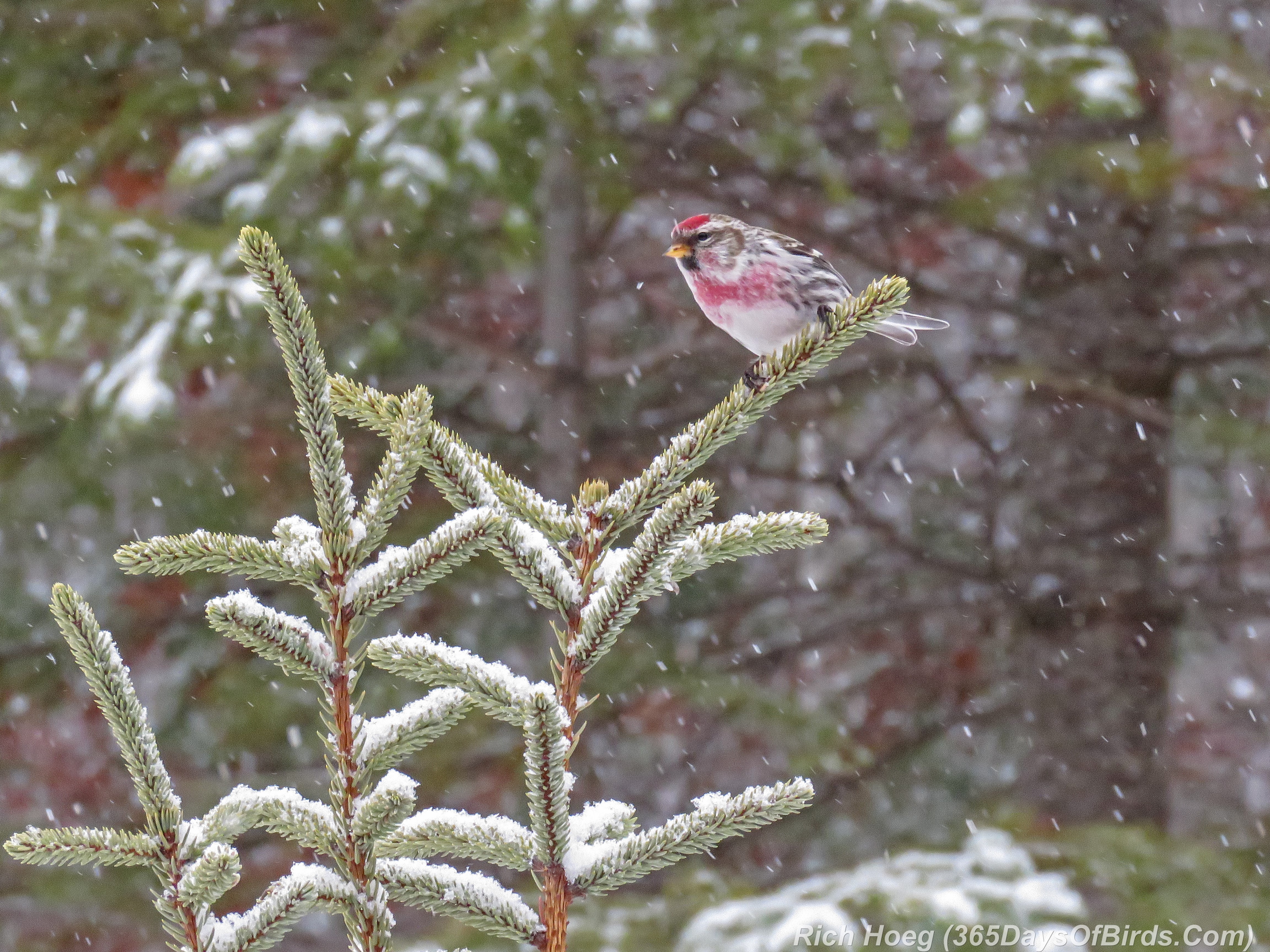
Even on the gloomiest of days in the Northwoods, during fierce snow squalls, if one knows where to look, there is always vibrant color! These photos are just a small example of why I thoroughly enjoyed volunteering all day at the Sax-Zim Bog Welcome Center!

Common Redpolls during the Snow Squall
360-Birds-365-Redpoll-Trio 360-Birds-365-Redpoll-Male-Snow-Squall

———-

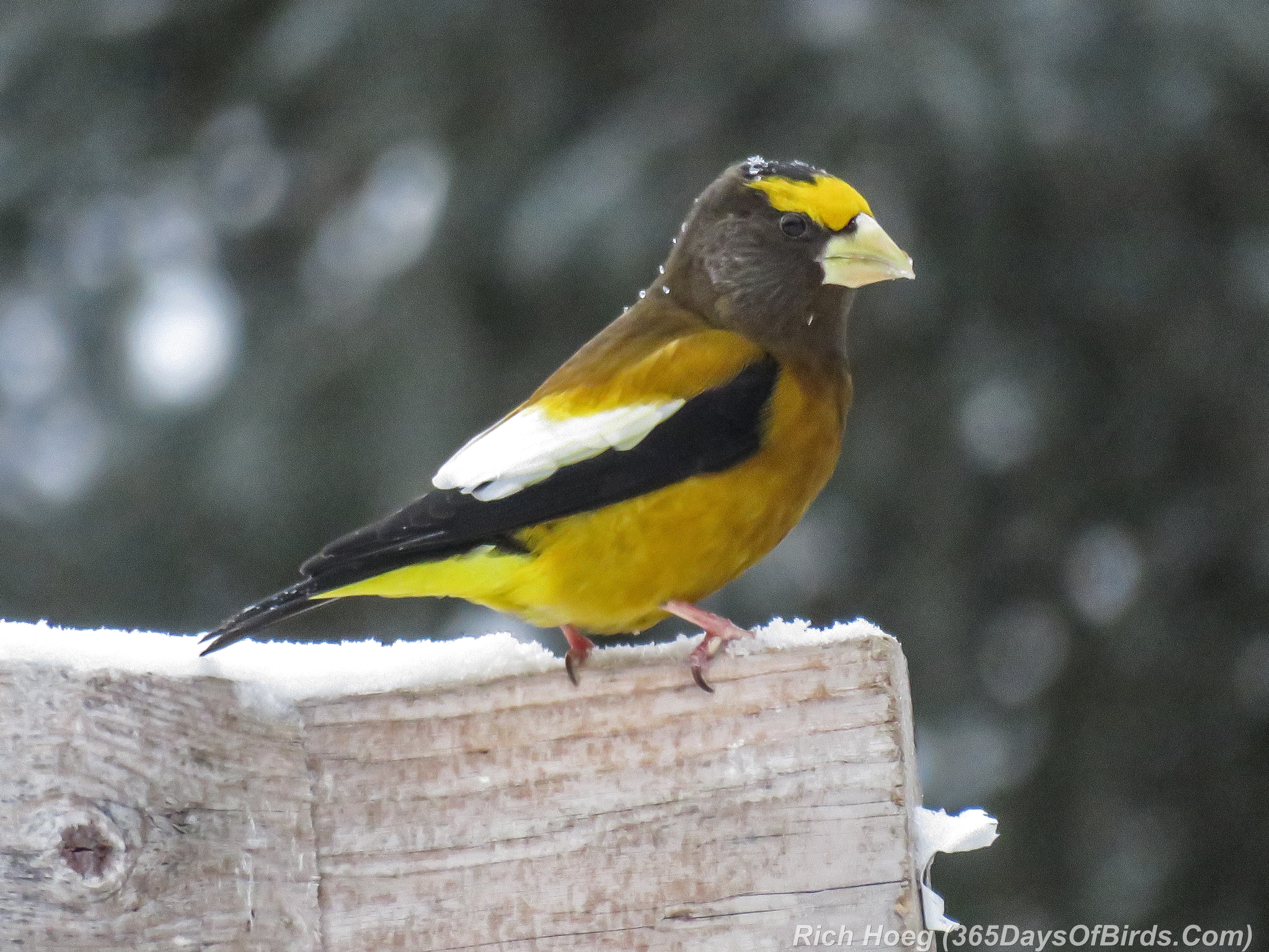
An Evening Grosbeak enjoying breakfast during a break from the snow.
360-Birds-365-Evening-Grosbeak-1

Google Maps … A Woodsman’s Friend!

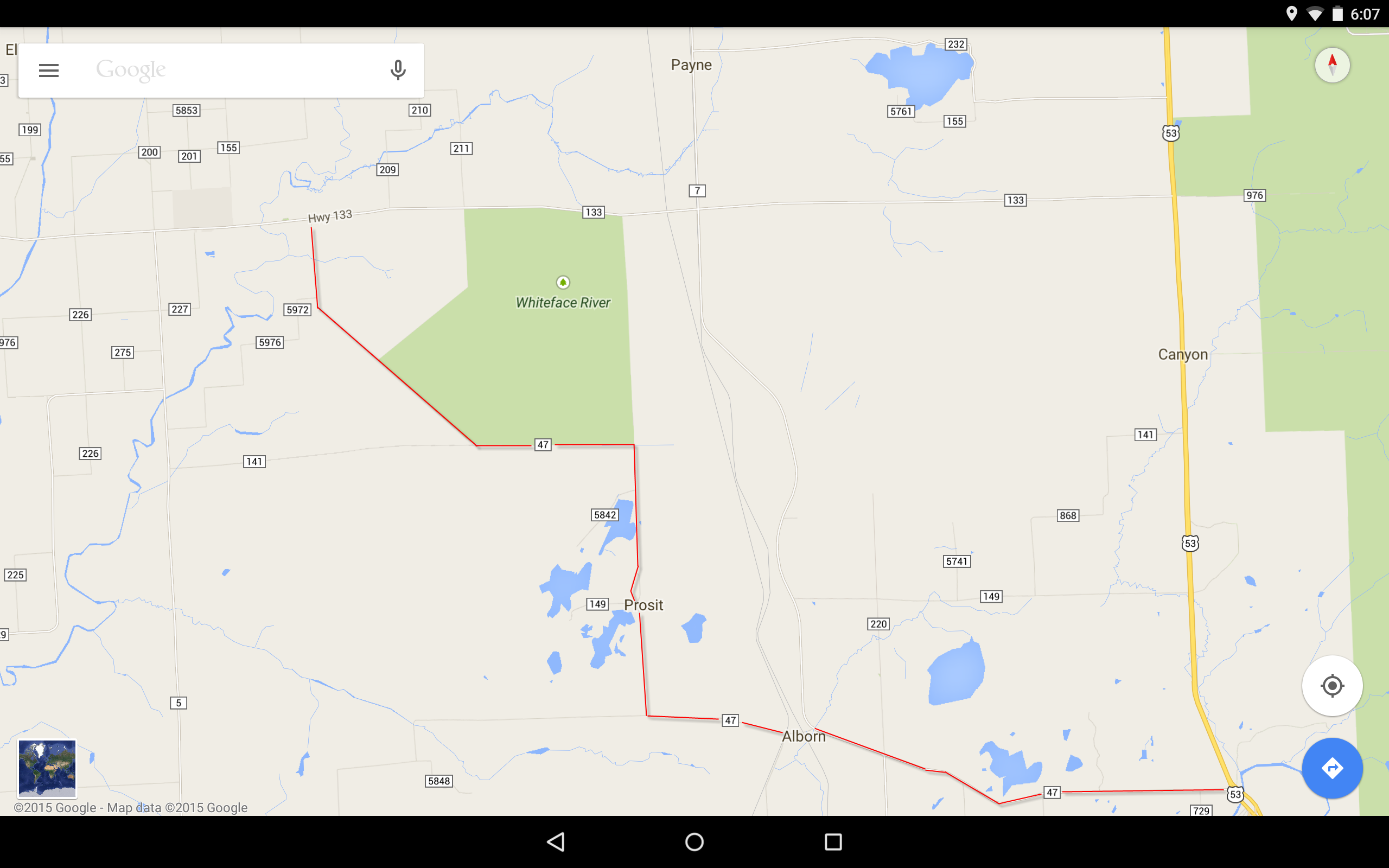
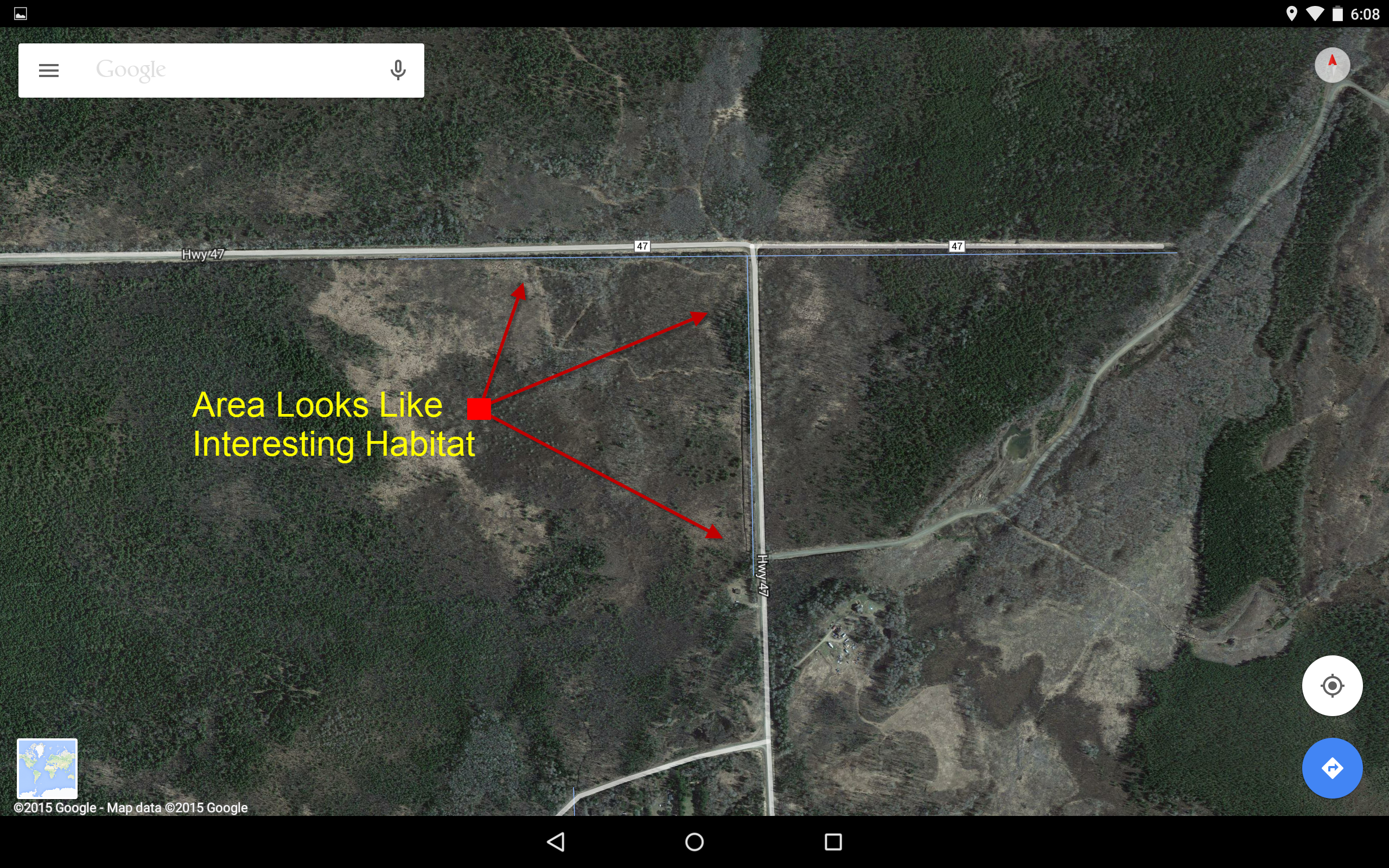
Google Maps is my friend! Whether I am planning a bike tour, or a birding / photography outing, many of these events start with Google during the dark early morning hours. My trip planning sessions start with focusing upon the desired area. Rather than the obvious travel routes, I expand the map and look for interesting back roads which eventually get me to the same destination. If the route looks promising I then switch into satellite mode and explore the land even more. By zooming in I can often determine if the forest has useful habitat (meadows, wetlands, streams, etc). If a route looks promising I try it! For instance, this weekend I will be helping out at the Sax-Zim Bog Visitor Center. Most people get to the blog by speeding up US hwy #53 from Duluth to Cotton, and then into the Bog by the shortest route. Not me! I’ve included my planned Saturday route to the bog below, which some minor annotations. My route travels along county #47, first paved and then dirt. I end up in Meadowlands, just south of the Visitor Center.

In case your interested, I use Street View all the time in Google Maps for my bike tour planning. Street View helps me plan routes by answering questions like … What kinds of shoulder does the road have? Does the scenery look interesting? How much traffic? However, Street View is not useful for birding because the back roads are too remote for this feature. (my long distance self-supported bike tours).

My Planned Route
Google-Maps-Birding-Route-Plan

———-

Zoomed-In Detail of One Section
Google-Maps-Birding-Route-Detail