One does not head out birding with the aim of seeing moose or bears, but advance research enhances your probability of seeing either of these fine mammals. I spend lots of time on hikes or slowly driving back roads looking for wildlife signs (scat, tracks, trodden game trails, etc.). Using my trailcams helps me learn/confirm whether an area is good bird and mammal habitat habitat. Remember, wetlands … bogs … and streams are fantastic food factories. In addition, most mammals prefer not to get their feet or bodies wet, and will use “dry choke points” to cross very wet spots.
With those thoughts in mind, and research done as noted over the past few weeks, in the past few days I have seen one bear, and four moose in the wild (not at or near my birdfeeders). Please note, wild animals should not to be feared. However always ensure you do not get between a mom and her young, which is about the only time Minnesota’s wildlife might get aggressive. Further commenting, unlike Grizzly Bears, Black Bears are mild natured.
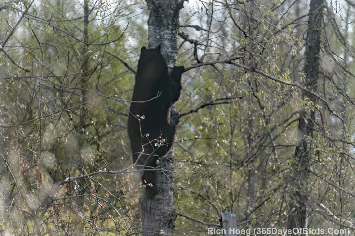
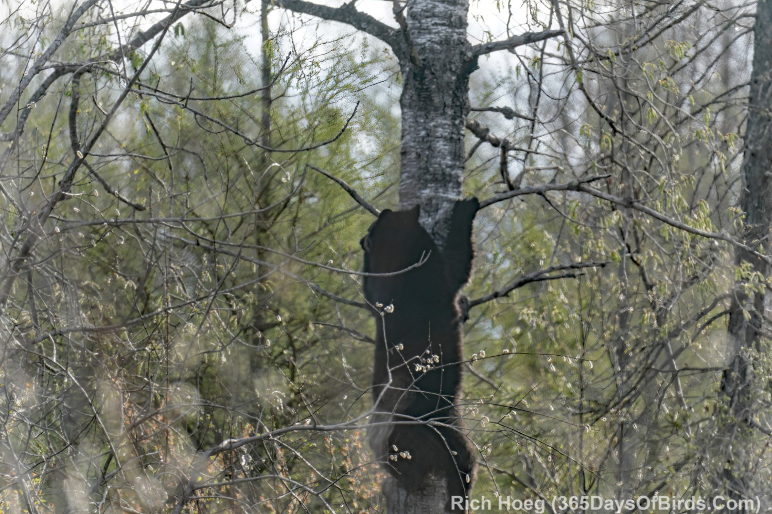
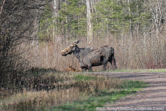
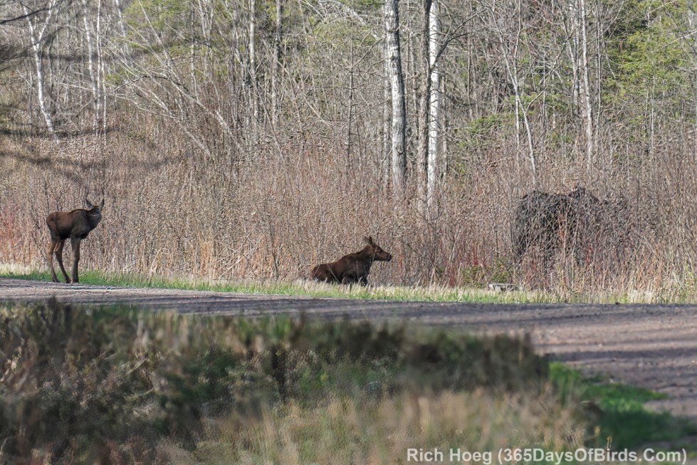
Enjoy my images … it was fun to watch Momma Moose and her young, and early in the season the large Black Bear was at the top of a very tall aspen tree … eating aspen leaves and just emerging leaves.
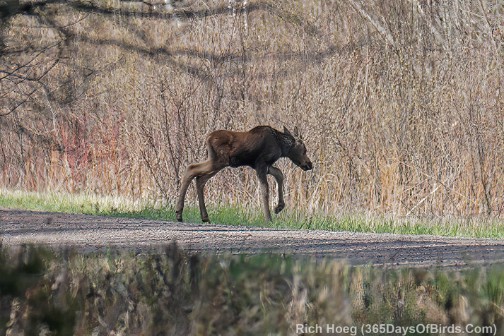
I also enjoyed watching this Moose family. The two calves were obviously quite young.
My trailcams were active. Poppa Moose actually fogged up my trailcam in the daytime images … (video links for blog subscribers: one | two | three)
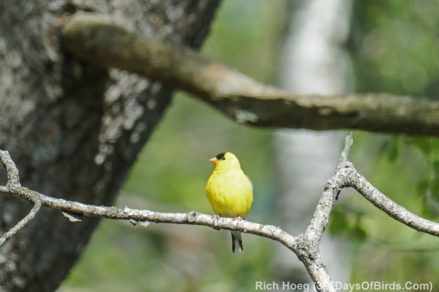
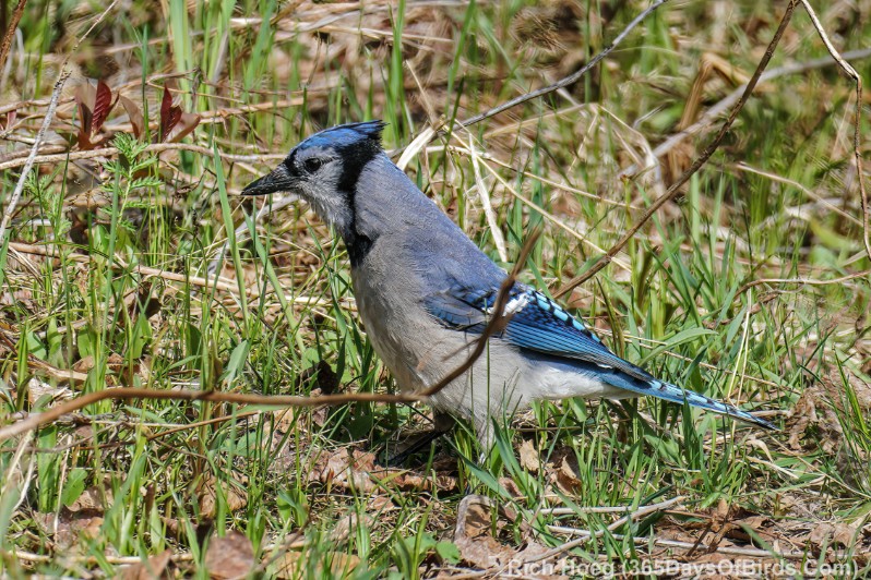
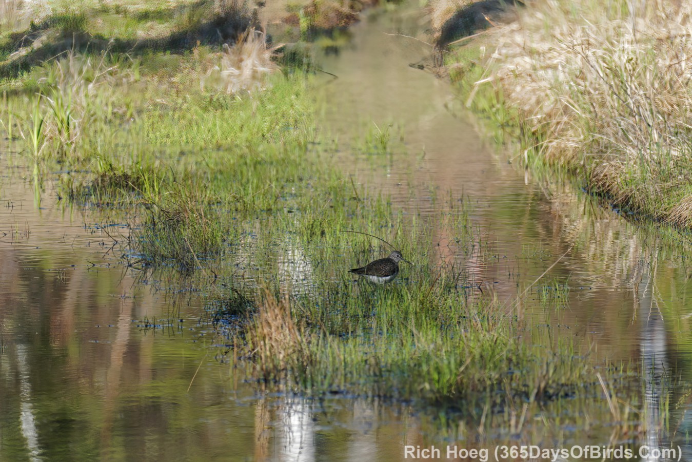
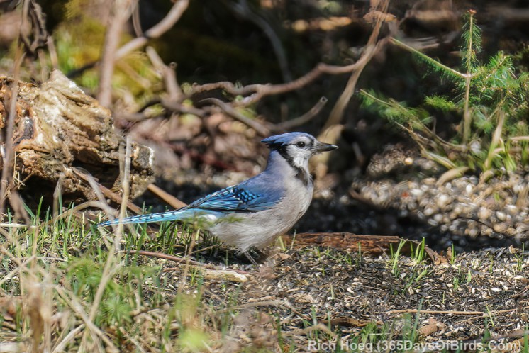
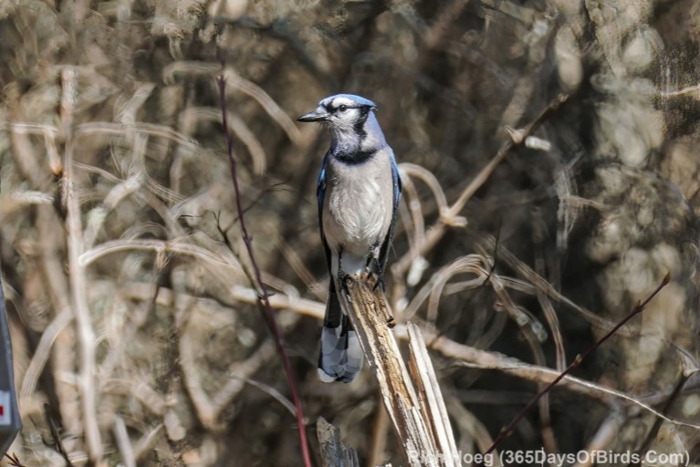
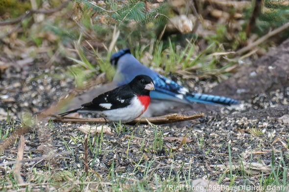
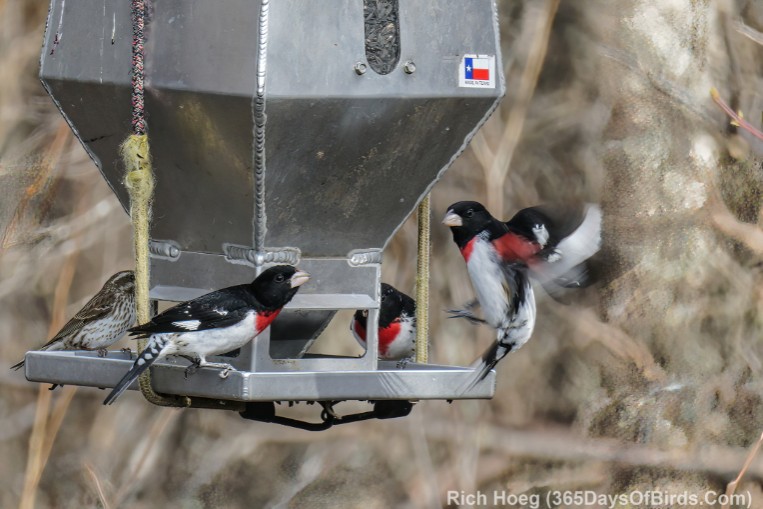
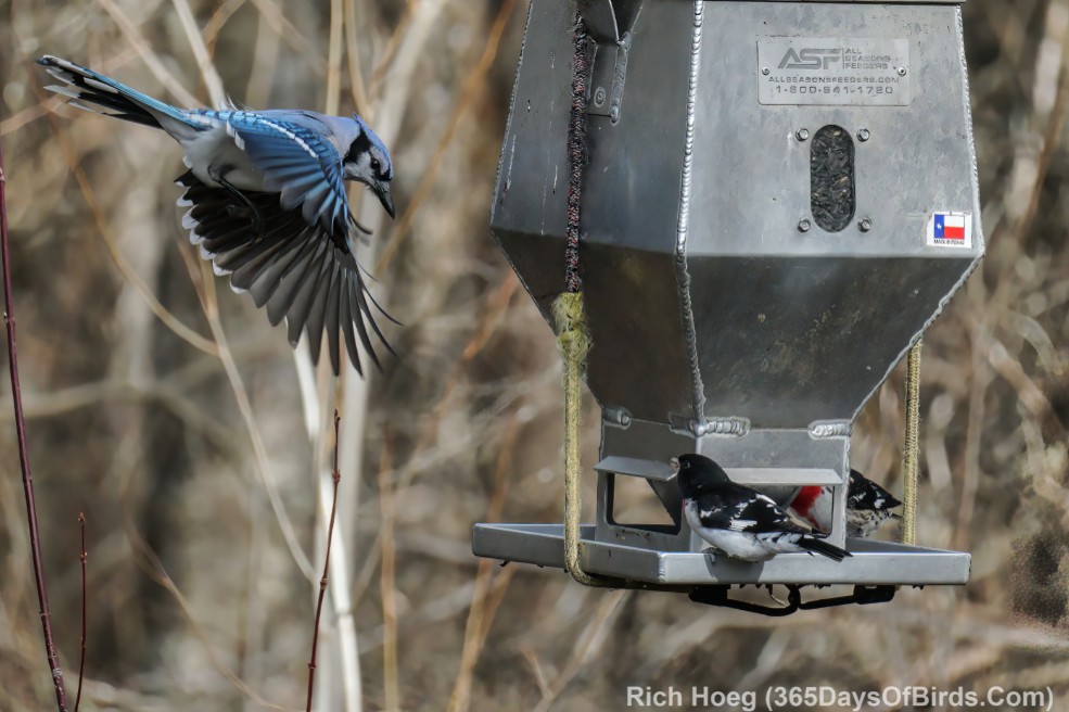
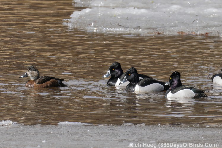
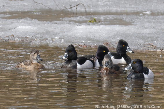
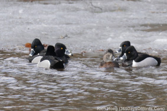
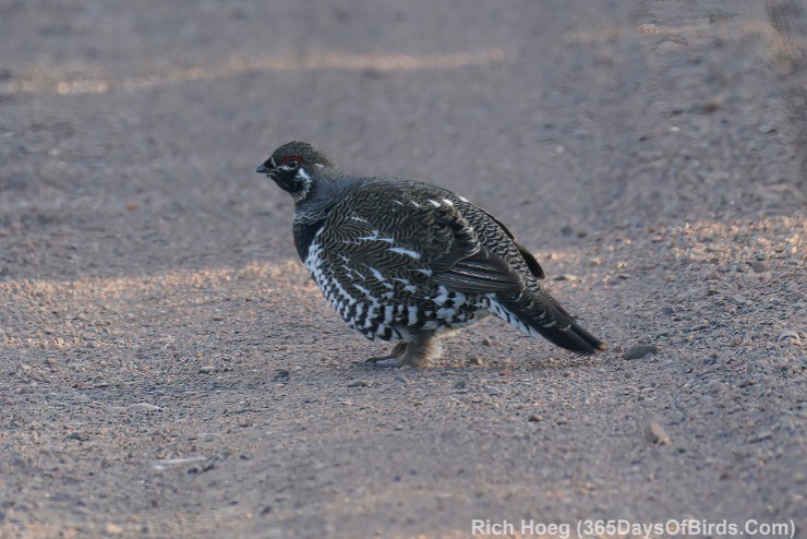
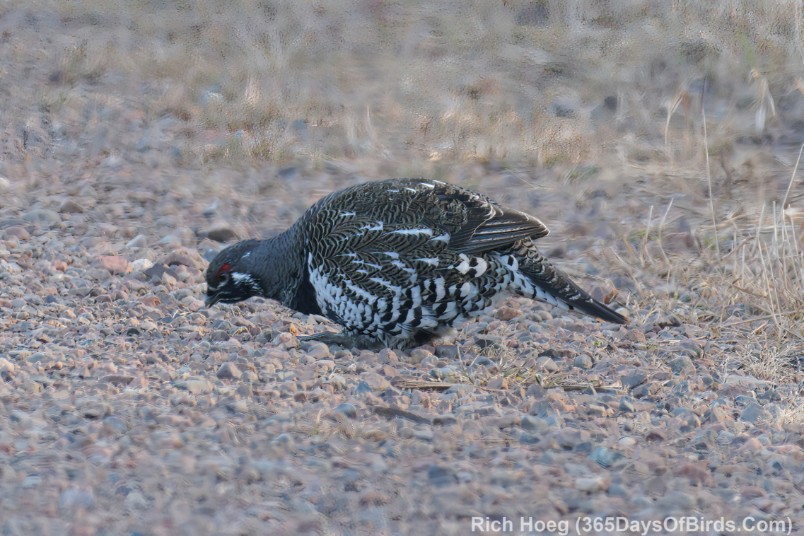
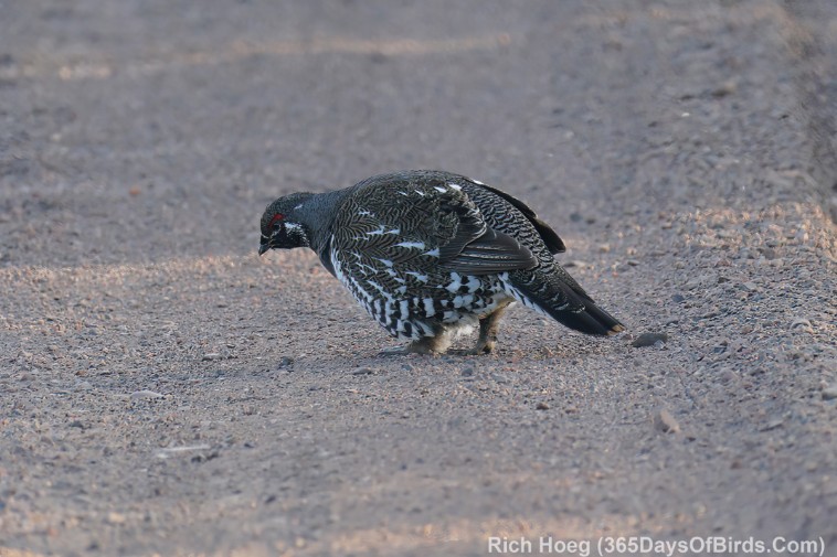
And I said this was Moose and Bear Birding … thus the birds … American Goldfinch, Blue Jay and Solitary Sandpiper … walking the Greenwood Bog Trail.